Uphill
328m
Length
8km
Duration
3h
Elev gain
328m
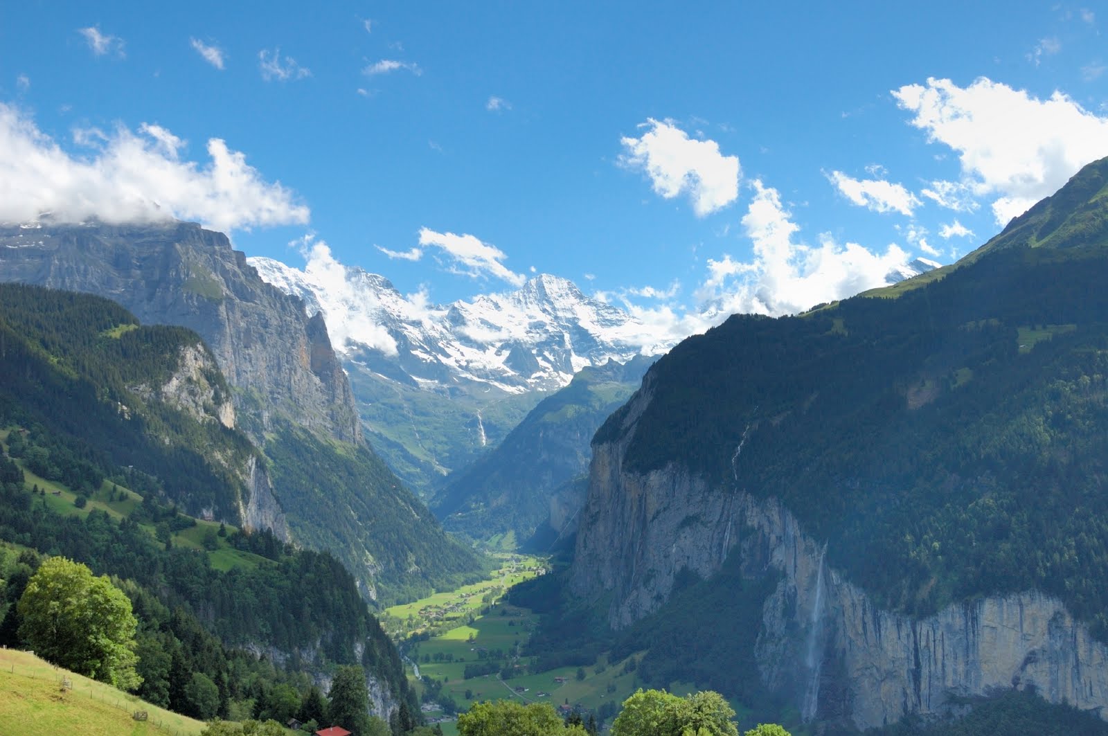
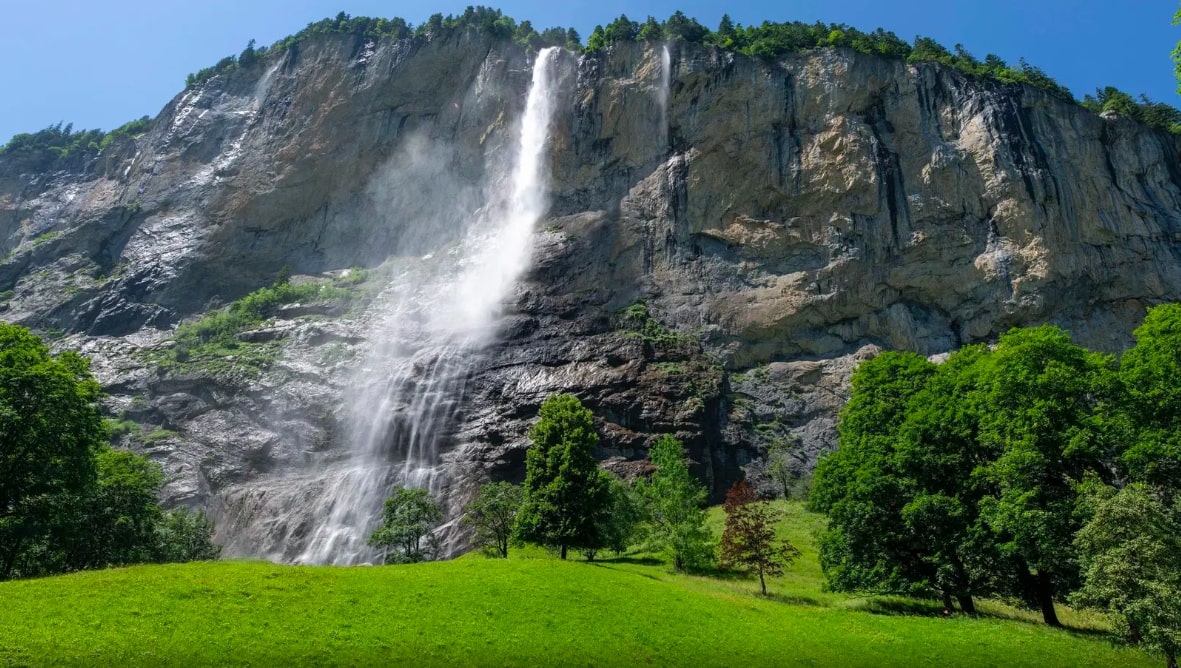
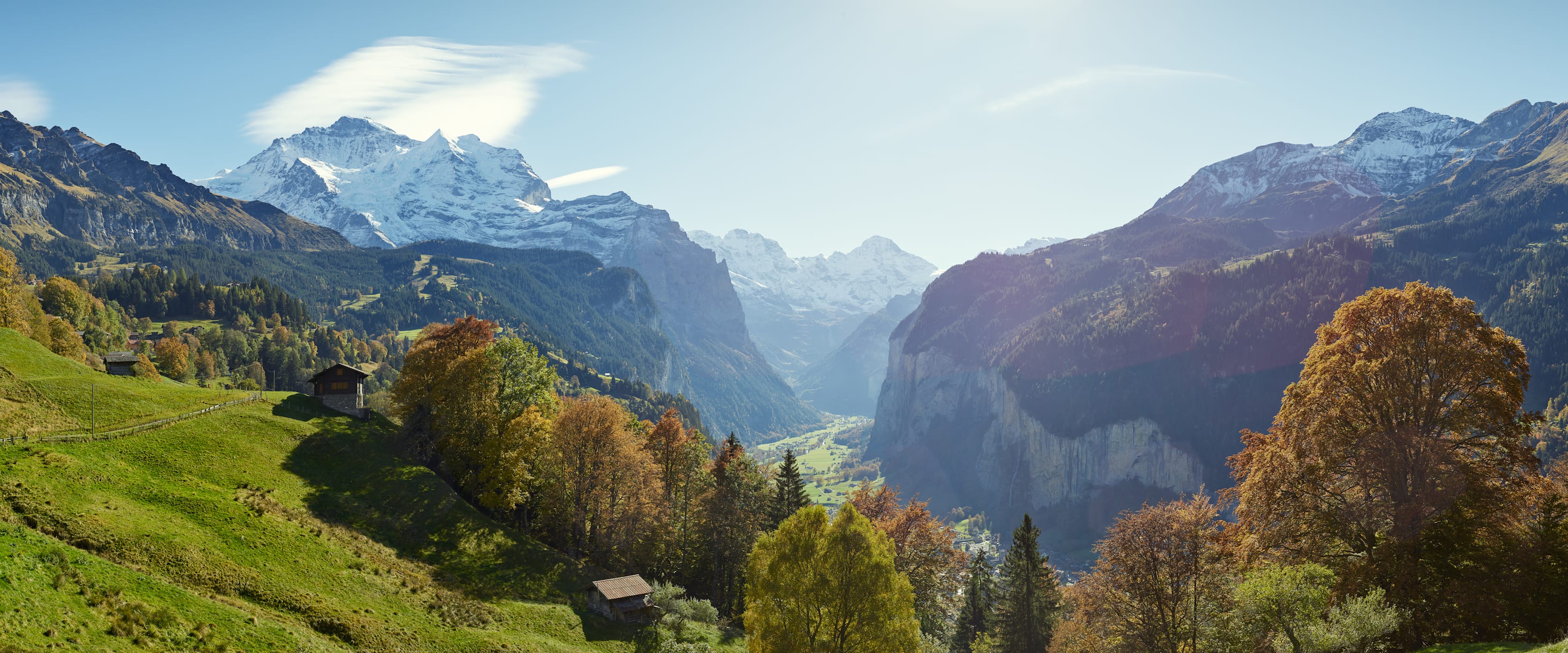
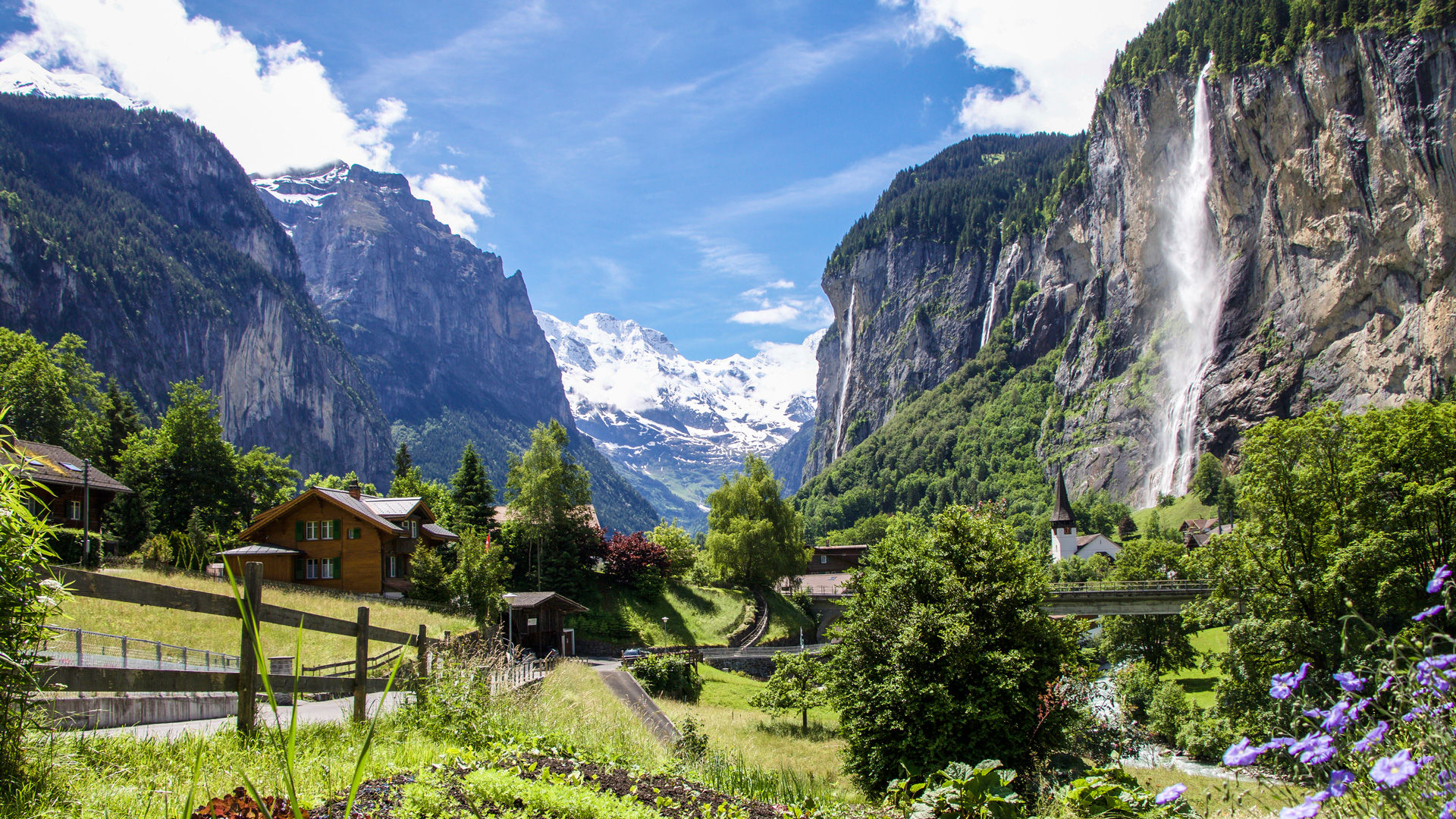
This is a hike that is both easy and fabulous. Departing from Lauterbrunnen, this route explores the Staubbach falls, whose water flows from the left side of the Lauterbrunnen valley in the Bernese Oberland. Then the path heads towards the bottom of the valley and the Trümmelbach falls.

Already more than 200,000 users!
Uphill
328m
Highest point
945m
Downhill
328m
Lowest point
789m
Route type
There and back
Download the map on your smartphone to save battery and rest assured to always keep access to the route, even without signal.
Includes IGN France and Swisstopo.
I indicate whether dogs are allowed or prohibited on this trail
Can be difficult in Winter
5 ratings
Also enjoy:

Already more than 200,000 users!