Uphill
125m
Length
1km
Duration
30min
Elev gain
125m
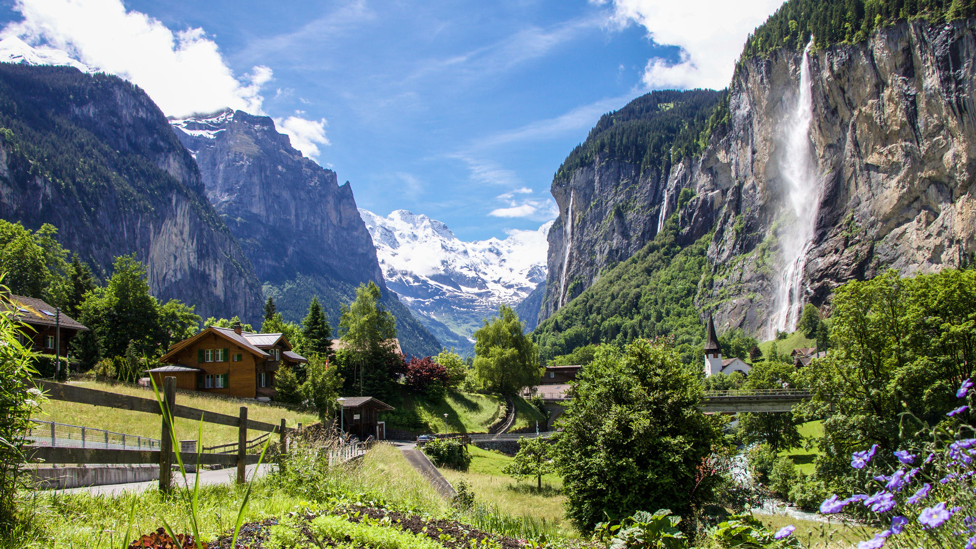
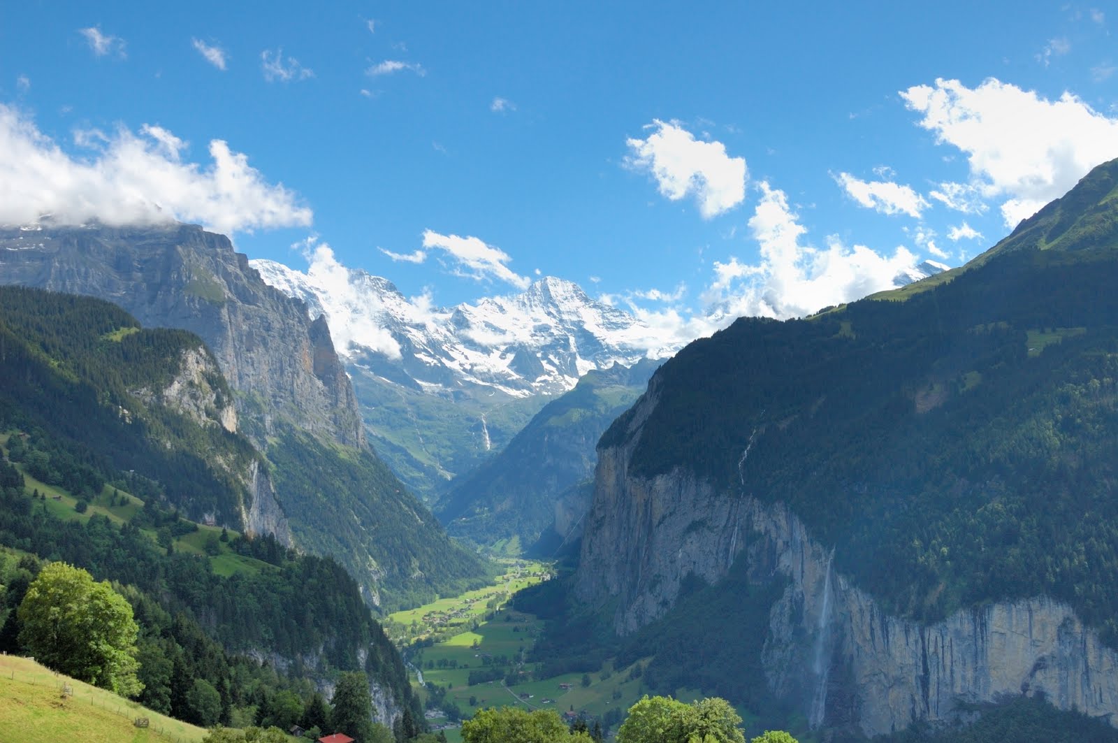
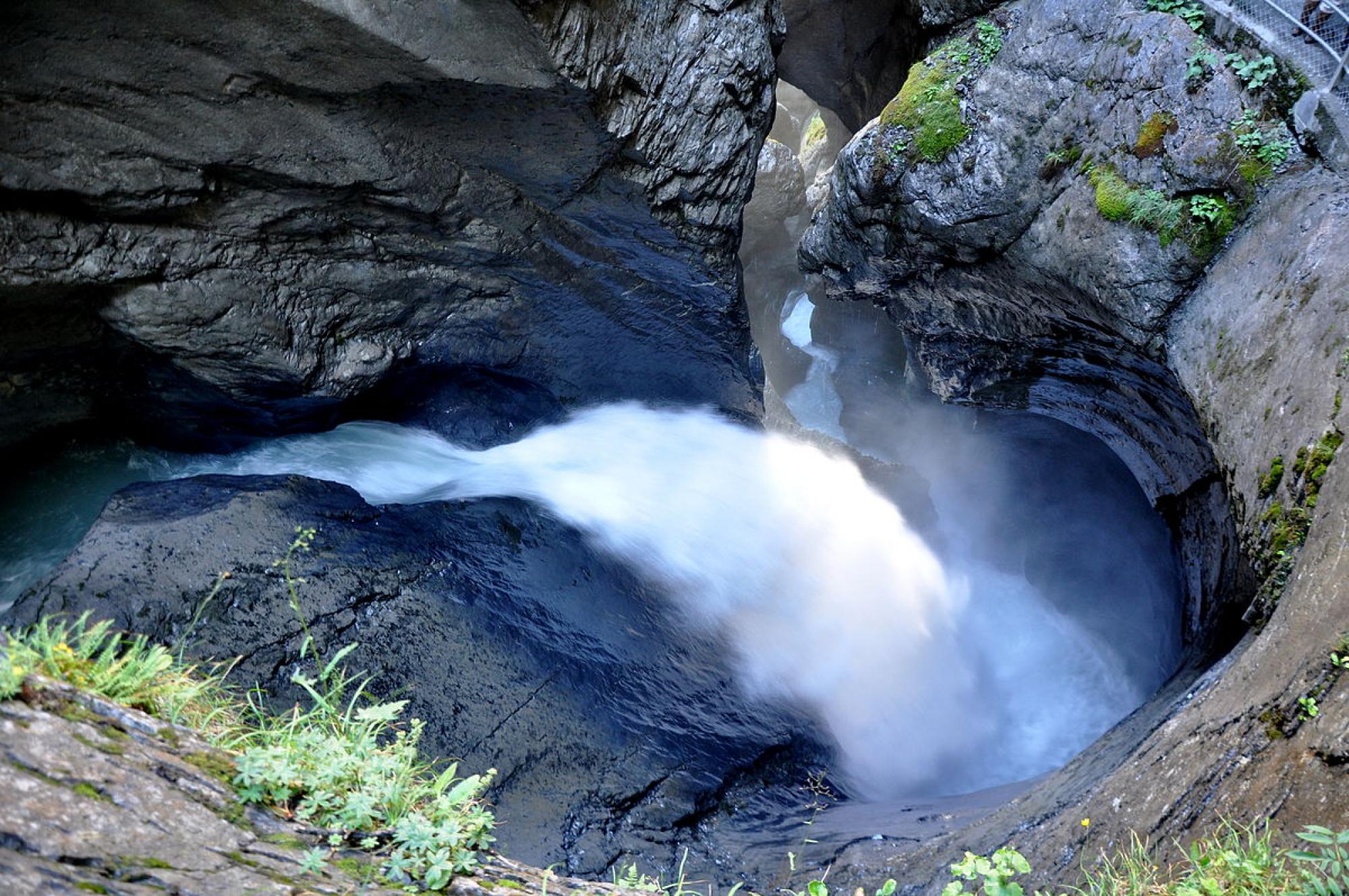
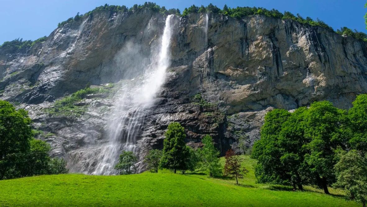
Round trip to the Staubbach Falls, a 300 meter high waterfall, making it the third highest waterfall in all of Switzerland. A short course, but worth the detour!

Already more than 200,000 users!
Uphill
125m
Highest point
945m
Downhill
125m
Lowest point
808m
Route type
There and back
Download the map on your smartphone to save battery and rest assured to always keep access to the route, even without signal.
Includes IGN France and Swisstopo.
I indicate whether dogs are allowed or prohibited on this trail
Can be difficult in Winter
1 rating
Also enjoy:

Already more than 200,000 users!