Uphill
203m
Length
7km
Duration
2h30min
Elev gain
203m
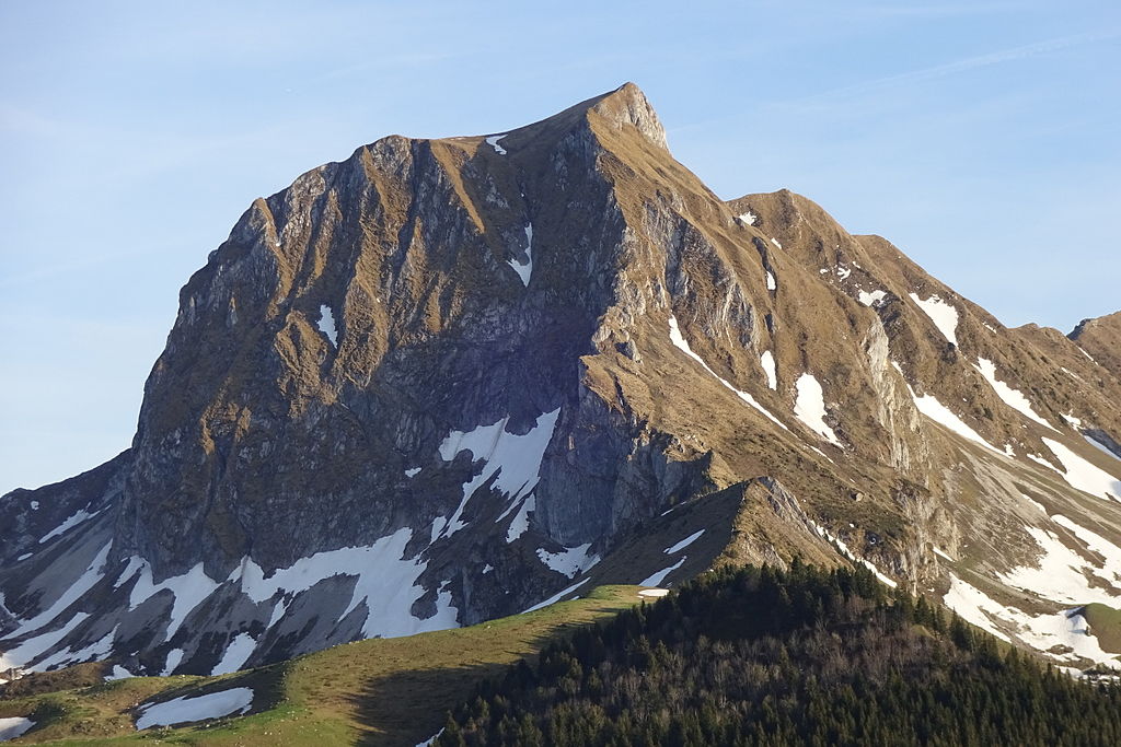
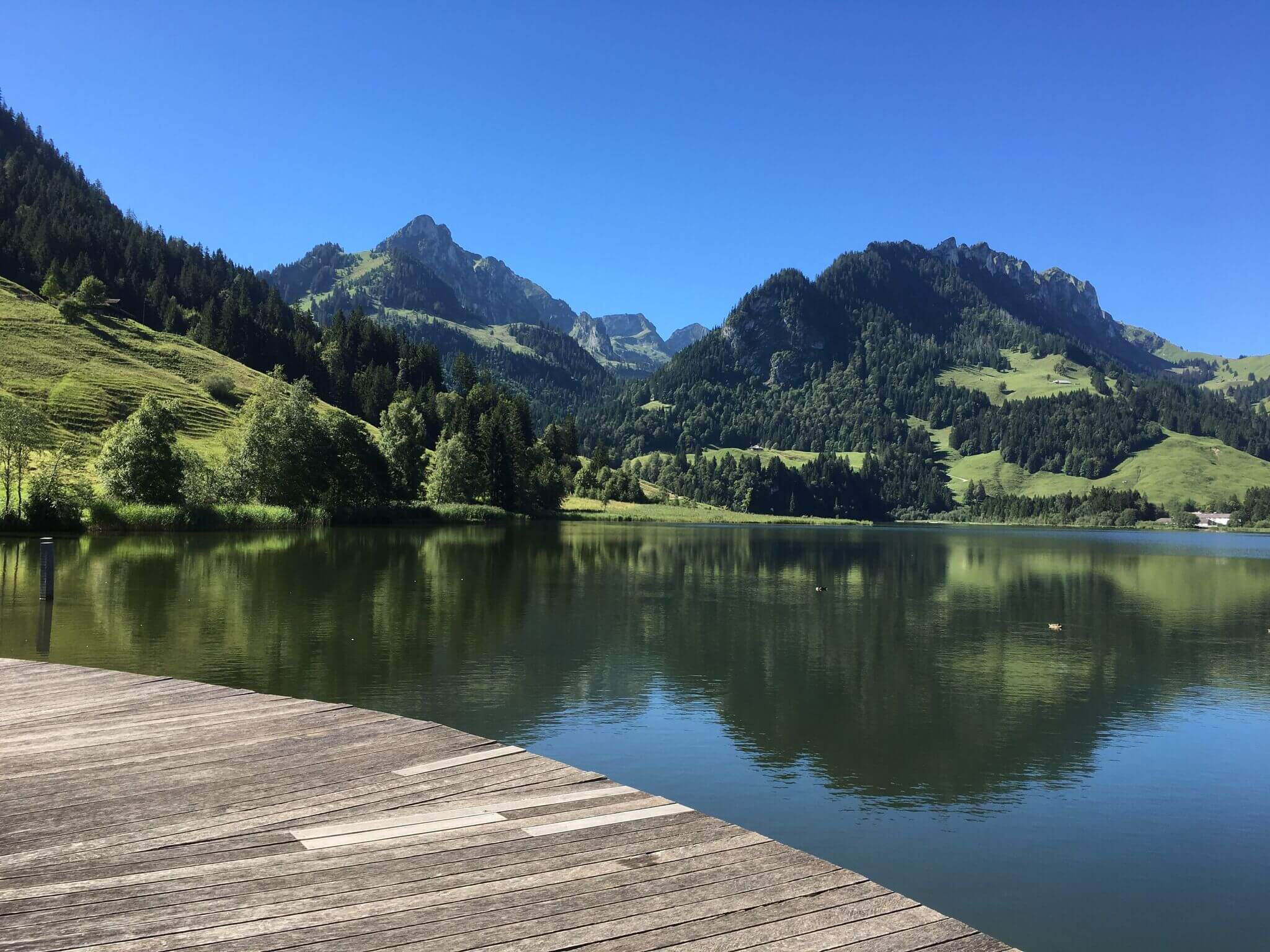
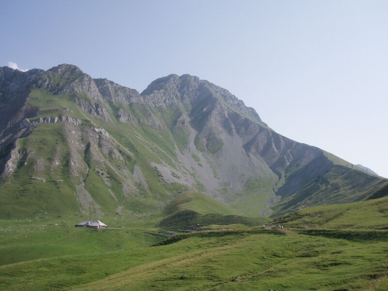
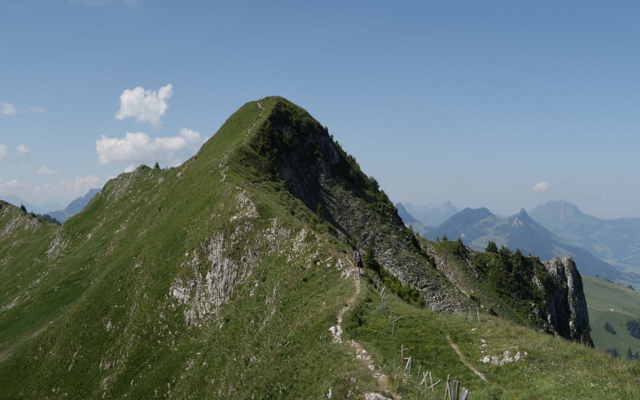
A very pleasant short walk on pretty wild paths. The route makes a loop and offers beautiful views of the south of Bern. A short course, certainly, but not lacking in charm!

Already more than 200,000 users!
Uphill
203m
Highest point
686m
Downhill
203m
Lowest point
565m
Route type
Loop
Download the map on your smartphone to save battery and rest assured to always keep access to the route, even without signal.
Includes IGN France and Swisstopo.
I indicate whether dogs are allowed or prohibited on this trail
All year
1 rating
Also enjoy:

Already more than 200,000 users!