Uphill
99m
Length
2km
Duration
1h
Elev gain
99m
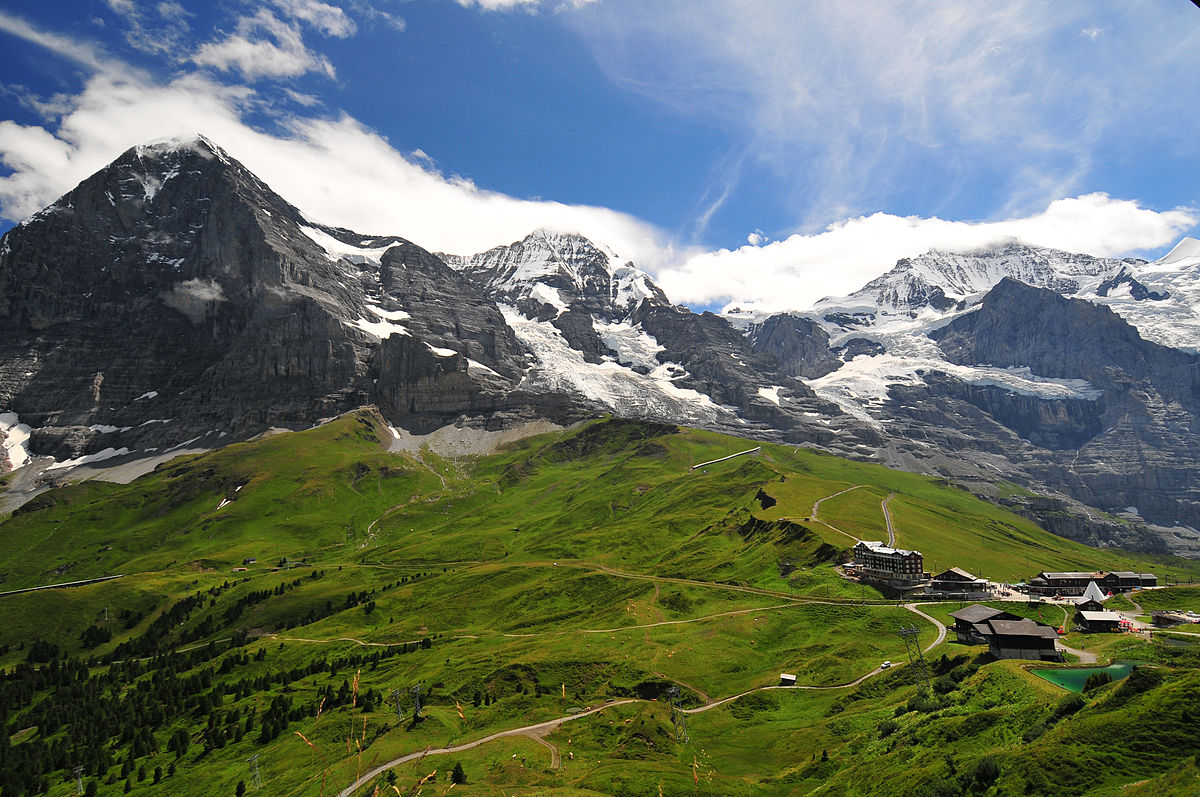
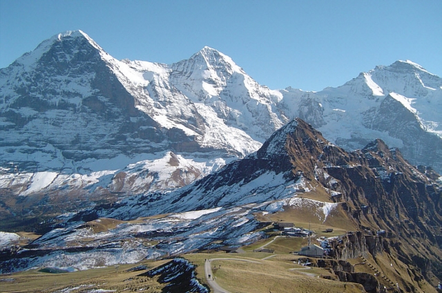
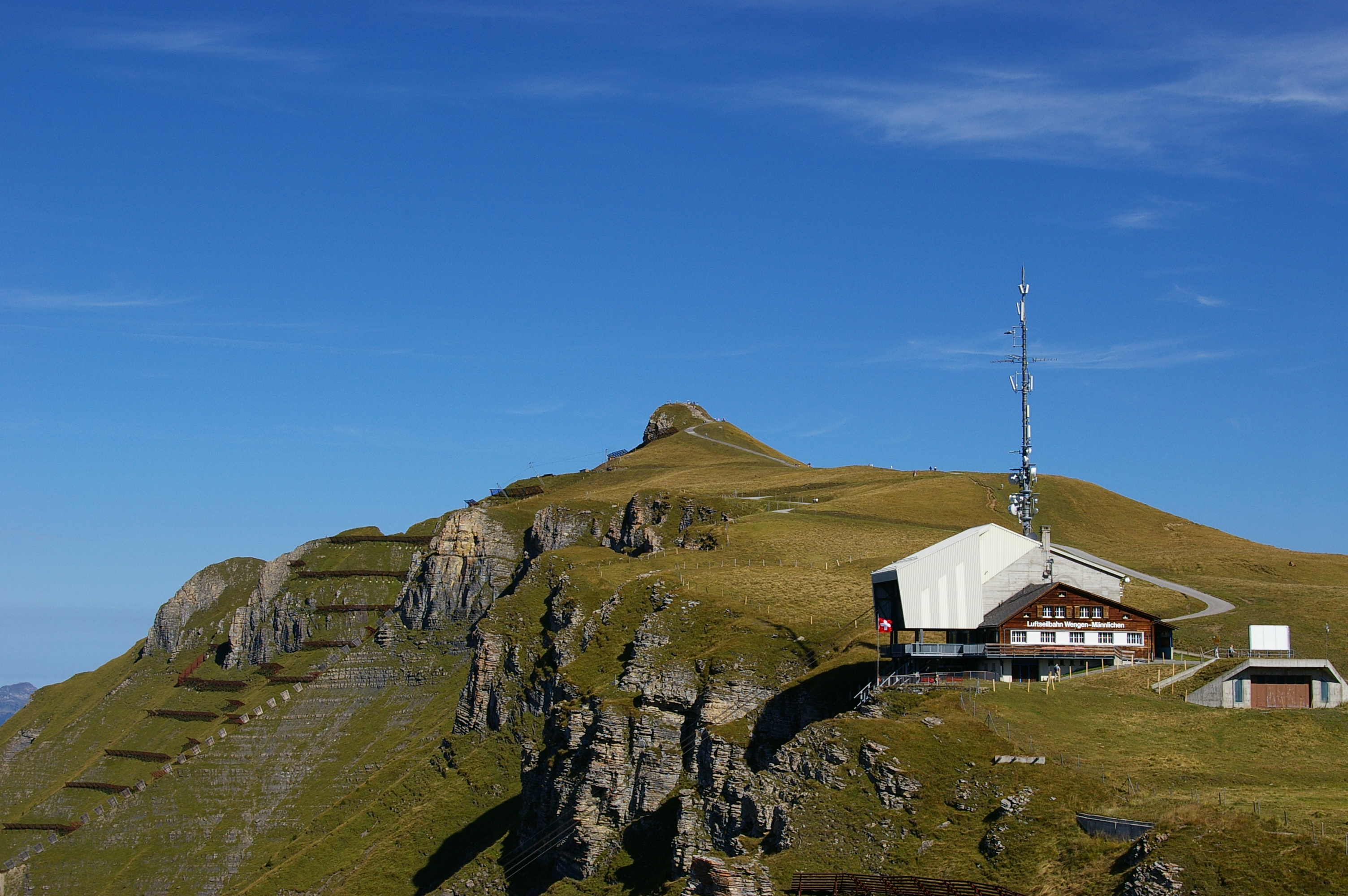
Ascent of the Männlichen from the top station of the cable car. The route goes back and forth to the summit, which also offers an incredible view of the surrounding peaks.

Already more than 200,000 users!
Uphill
99m
Highest point
2329m
Downhill
99m
Lowest point
2218m
Route type
There and back
Download the map on your smartphone to save battery and rest assured to always keep access to the route, even without signal.
Includes IGN France and Swisstopo.
I indicate whether dogs are allowed or prohibited on this trail
From May to September
1 rating
Also enjoy:

Already more than 200,000 users!