Uphill
159m
Length
4km
Duration
1h30min
Elev gain
159m
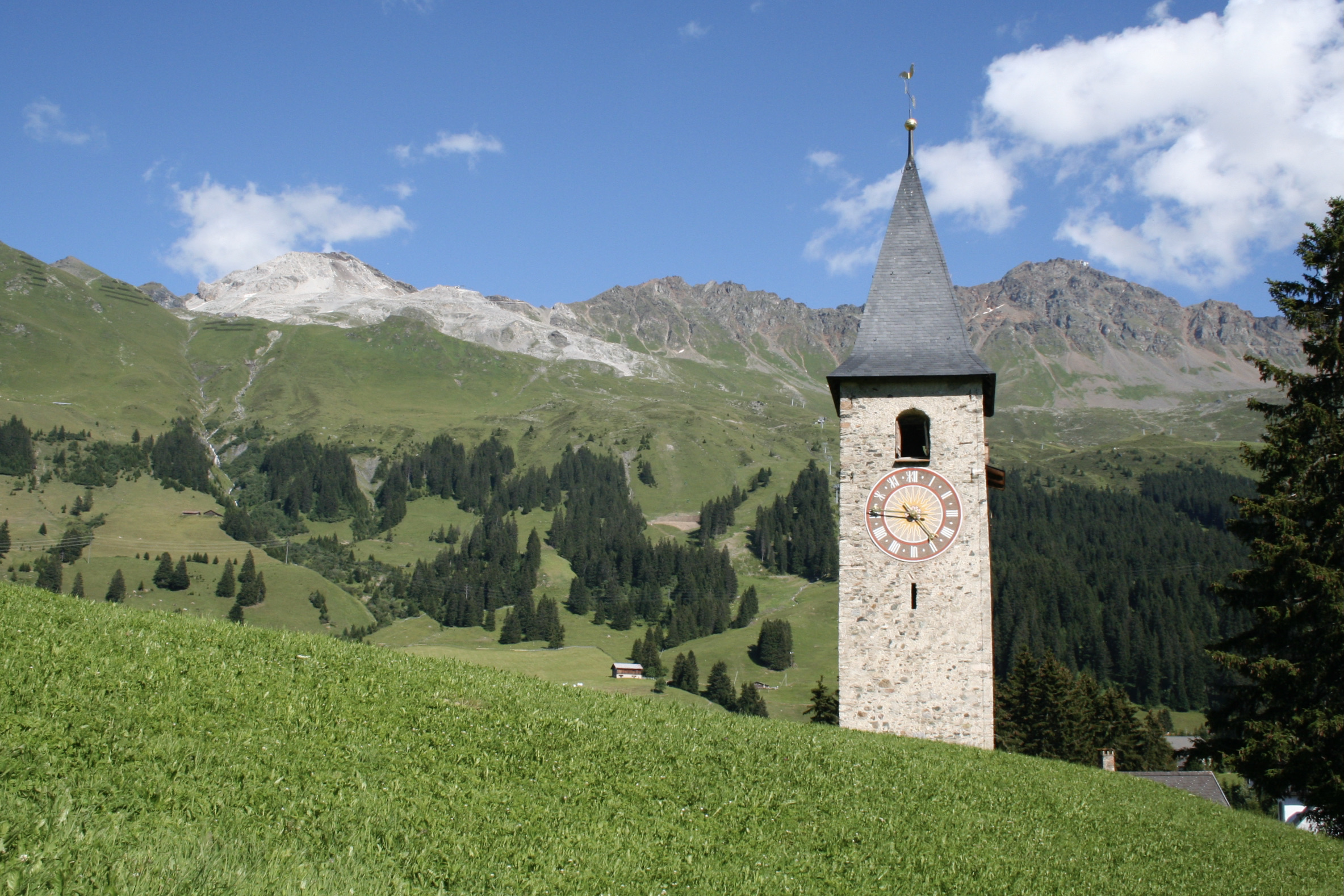
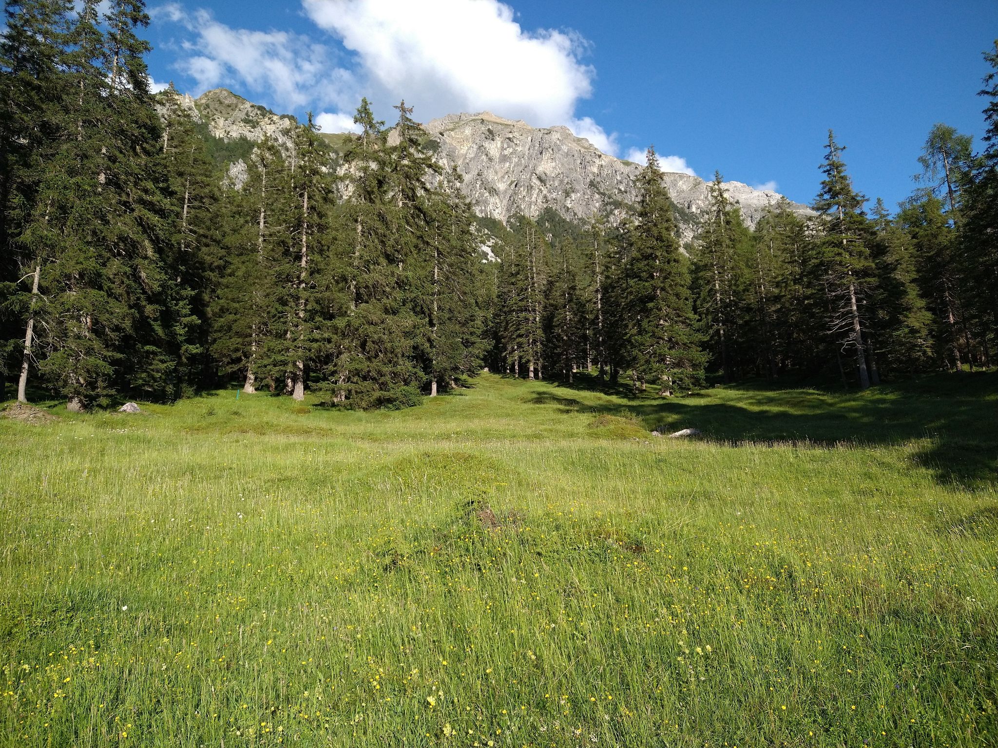
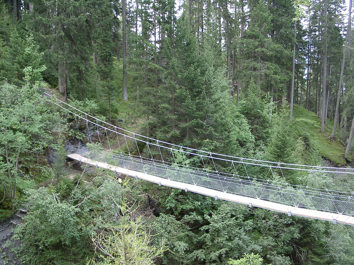
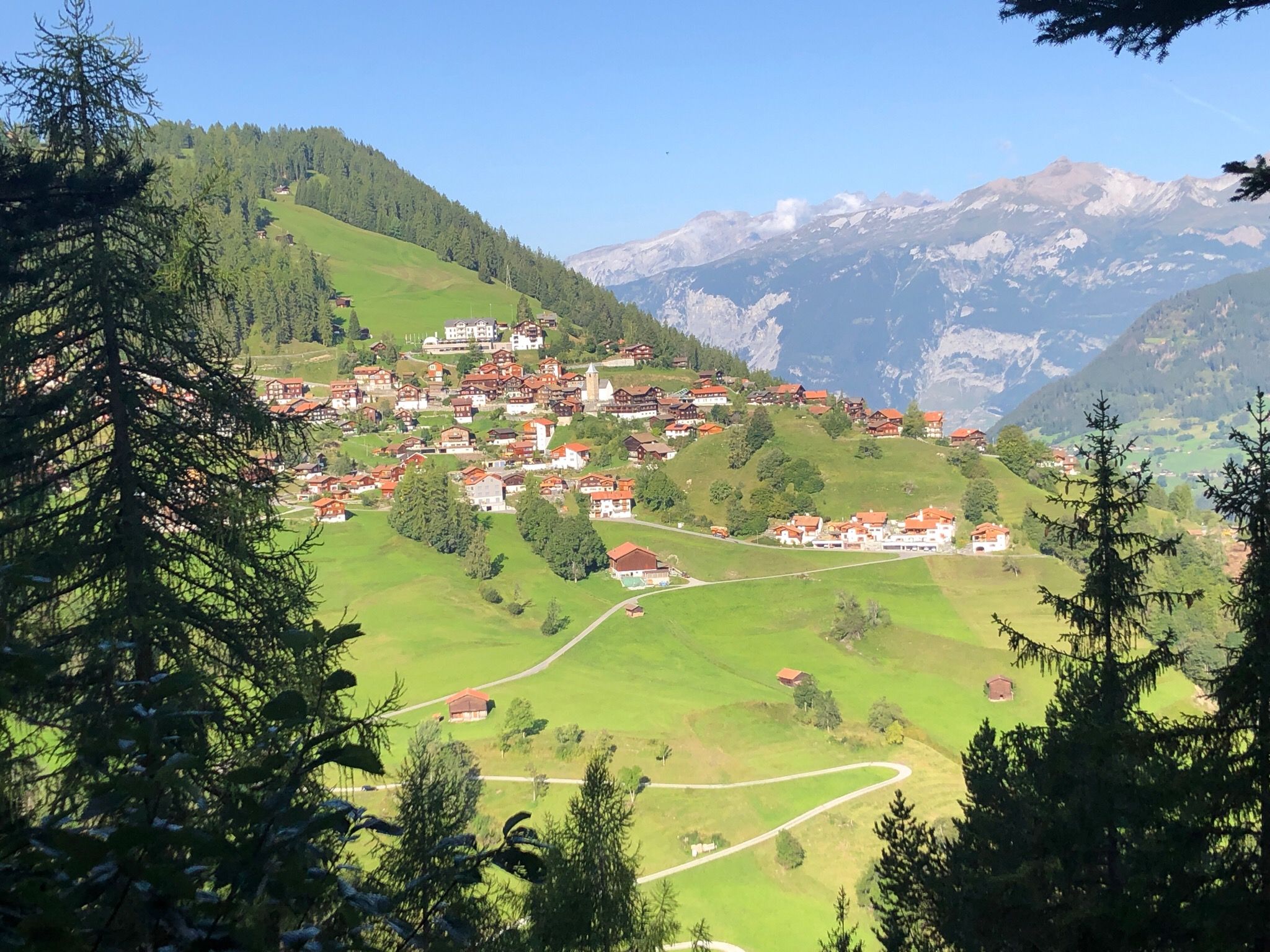
Beautiful walk in the forest accessible to all. The route makes a small loop, crosses a wild stream and then leads to a belvedere.

Already more than 200,000 users!
Uphill
159m
Highest point
1384m
Downhill
159m
Lowest point
1278m
Route type
Loop
Download the map on your smartphone to save battery and rest assured to always keep access to the route, even without signal.
Includes IGN France and Swisstopo.
I indicate whether dogs are allowed or prohibited on this trail
Can be difficult in Winter
0 ratings
Also enjoy:

Already more than 200,000 users!