Uphill
715m
Length
14km
Duration
5h30min
Elev gain
715m
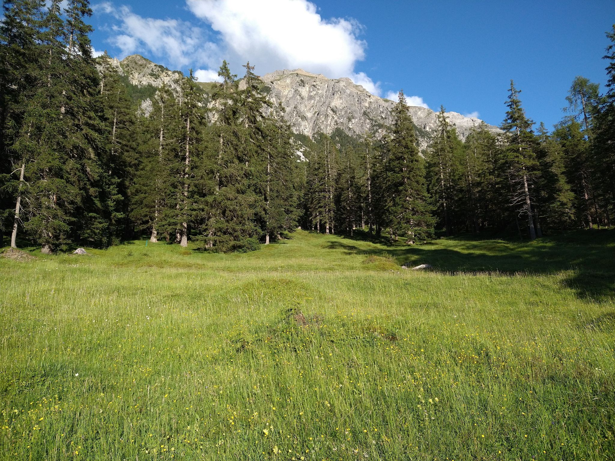
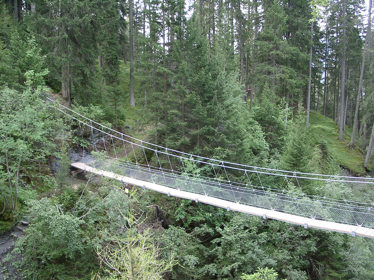
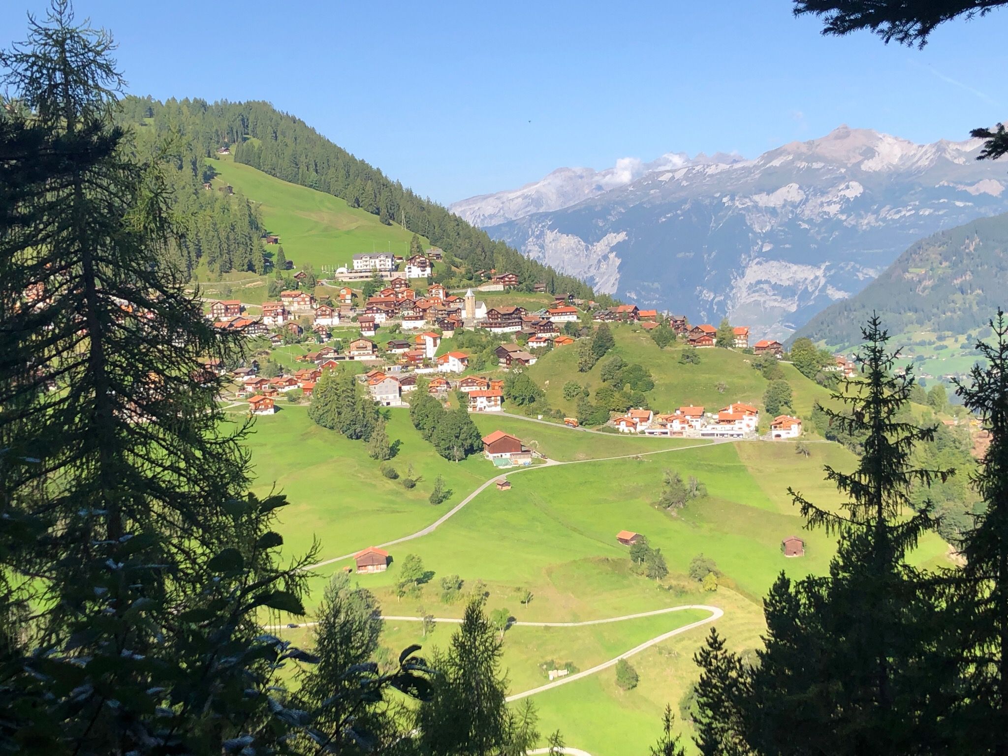
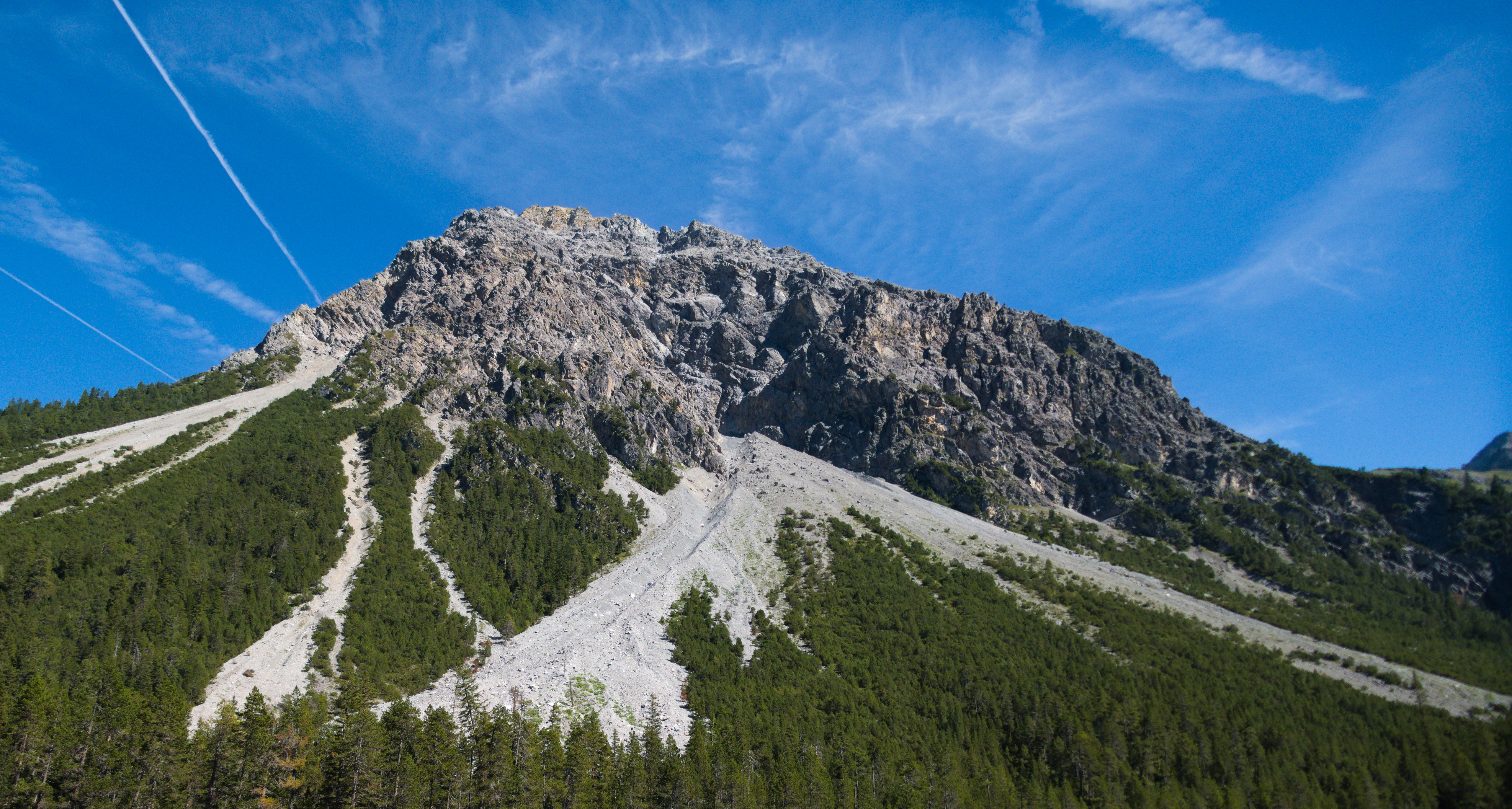
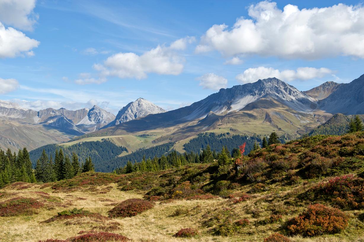
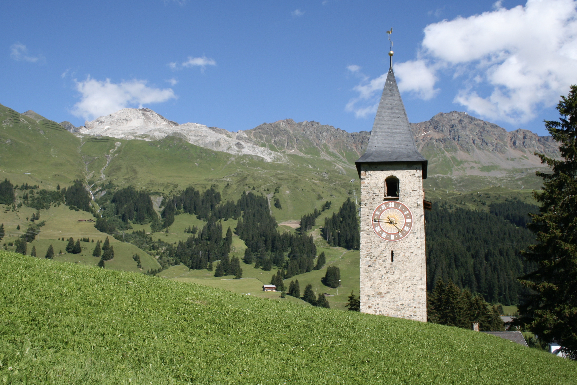
From Parpan, this trail makes a loop on the heights of the town. Indeed, this route climbs quickly, joins Alp Stätz then passes by the restaurant of Alp Lavoz before returning in the direction of the starting point. The landscapes are splendid and the path well indicated, taking in particular some roads at the end.

Already more than 200,000 users!
Uphill
715m
Highest point
1987m
Downhill
715m
Lowest point
1433m
Route type
Loop
Download the map on your smartphone to save battery and rest assured to always keep access to the route, even without signal.
Includes IGN France and Swisstopo.
I indicate whether dogs are allowed or prohibited on this trail
From May to October
0 ratings
Also enjoy:

Already more than 200,000 users!