Uphill
558m
Length
6km
Duration
3h30min
Elev gain
558m
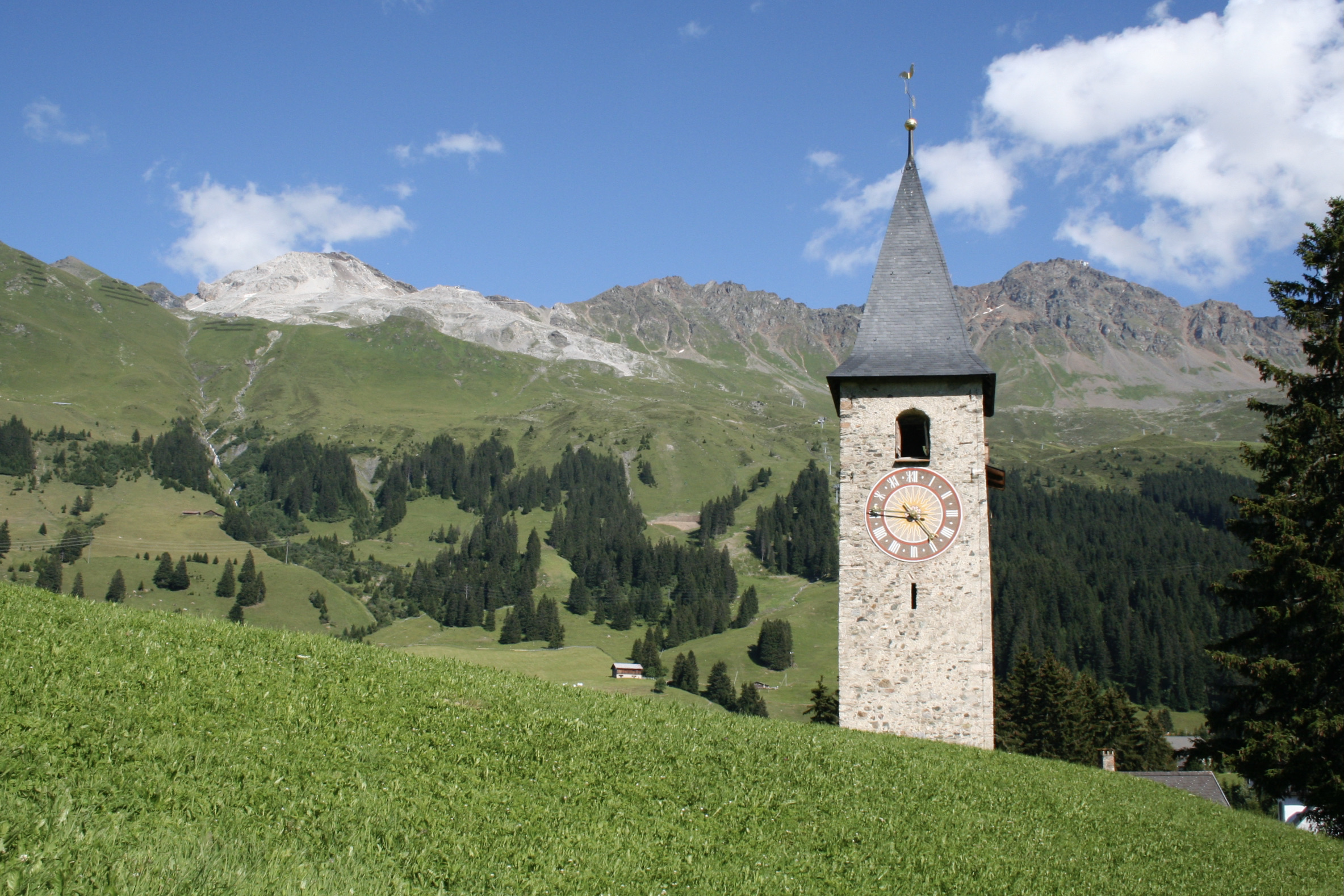
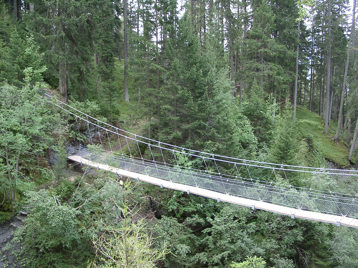
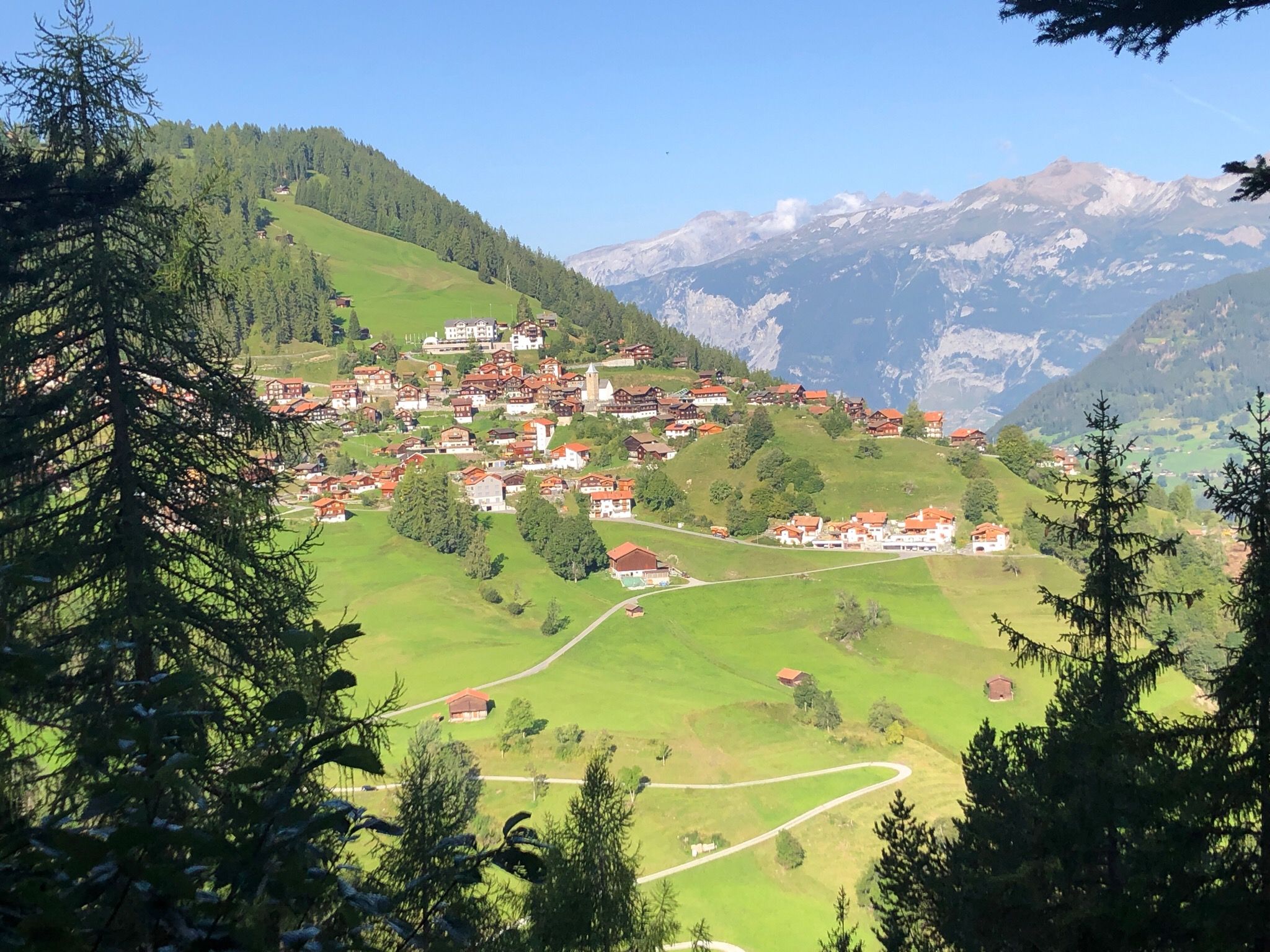
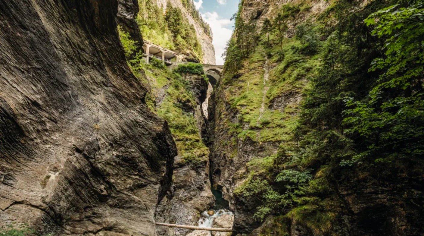
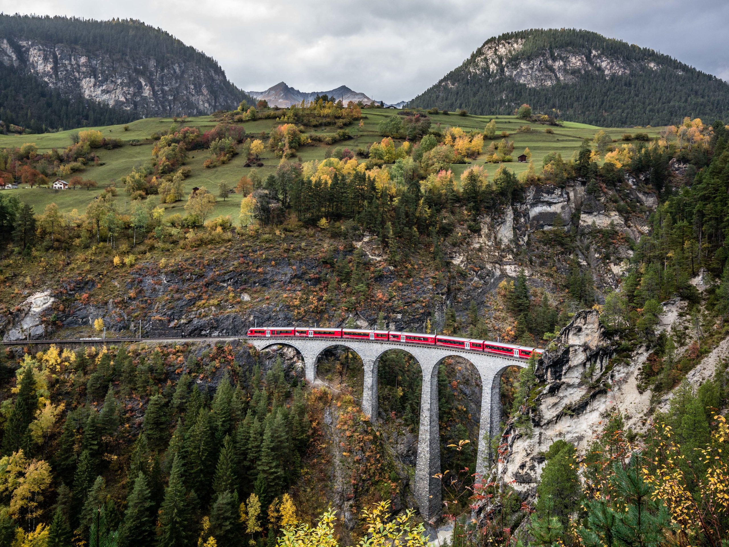
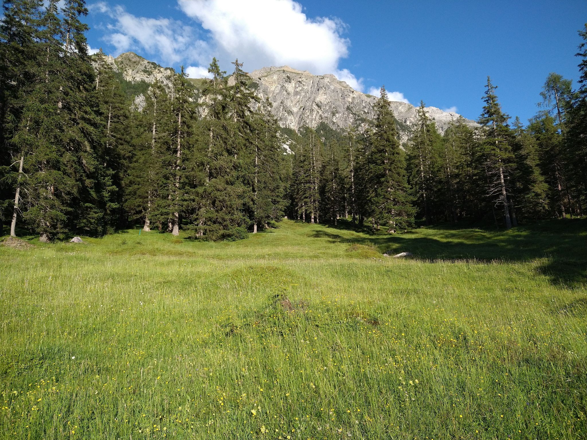
Starting from Lenzerheide, this hike takes a little height in order to offer beautiful views of the surroundings. The route makes a loop, alternating between forests and meadows, within a calm and pleasant natural setting.

Already more than 200,000 users!
Uphill
558m
Highest point
2016m
Downhill
558m
Lowest point
1464m
Route type
Loop
Download the map on your smartphone to save battery and rest assured to always keep access to the route, even without signal.
Includes IGN France and Swisstopo.
I indicate whether dogs are allowed or prohibited on this trail
From May to September
0 ratings
Also enjoy:

Already more than 200,000 users!