Uphill
1126m
Length
19km
Duration
8h30min
Elev gain
1126m
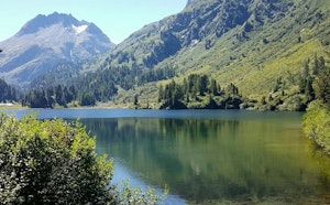
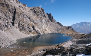
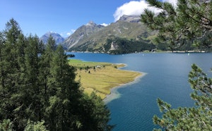
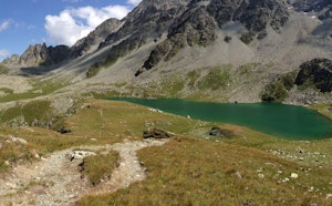
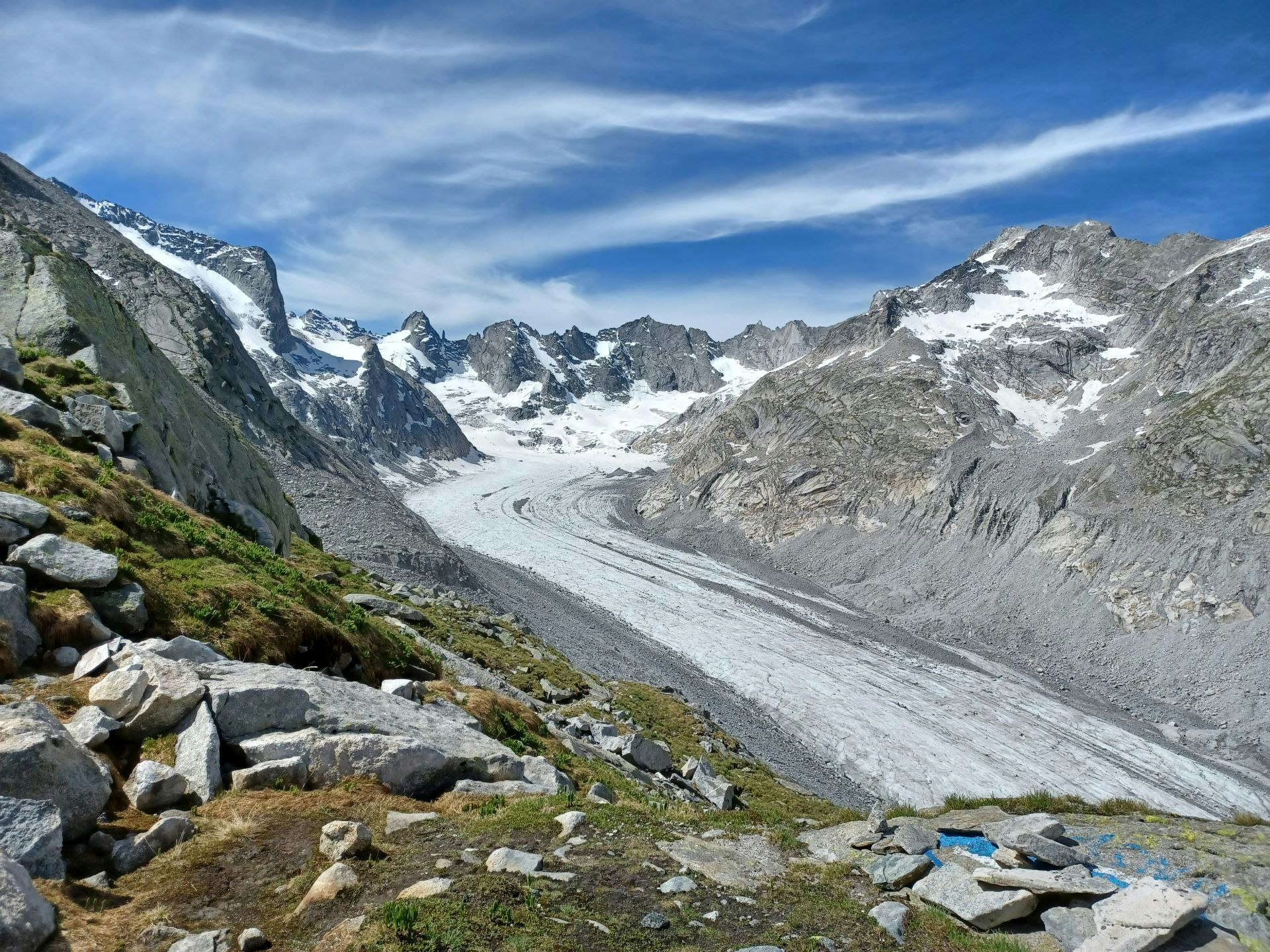
Long hike and beautiful hike from Maloja. The route climbs up to the Capanna di Forno, a refuge located at an altitude of 2,574 metres. On a steep path, the route passes close to the glacier, takes the path of the Muretto pass and offers superb views of the surroundings.

Already more than 200,000 users!
Uphill
1126m
Highest point
2744m
Downhill
1126m
Lowest point
1782m
Route type
Loop
Download the map on your smartphone to save battery and rest assured to always keep access to the route, even without signal.
Includes IGN France and Swisstopo.
I indicate whether dogs are allowed or prohibited on this trail
From June to September
0 ratings
Also enjoy:

Already more than 200,000 users!