Uphill
282m

Length
7km
Duration
2h30min
Elev gain
282m
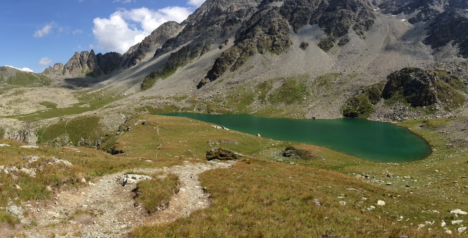
Starting from Lake Orden, this walk quickly enters the forest, passes through Lake Bitabergh and then continues until you reach Lake Cavloccio. Here, we take advantage of the magnificent setting offered by Mother Nature before resuming the path towards the starting point.

Already more than 200,000 users!
Uphill
282m
Highest point
1955m
Downhill
282m
Lowest point
1776m
Route type
Loop
Download the map on your smartphone to save battery and rest assured to always keep access to the route, even without signal.
Includes IGN France and Swisstopo.
I indicate whether dogs are allowed or prohibited on this trail
From May to October
0 ratings
Also enjoy:

Already more than 200,000 users!