Uphill
694m
Length
7km
Duration
4h30min
Elev gain
694m
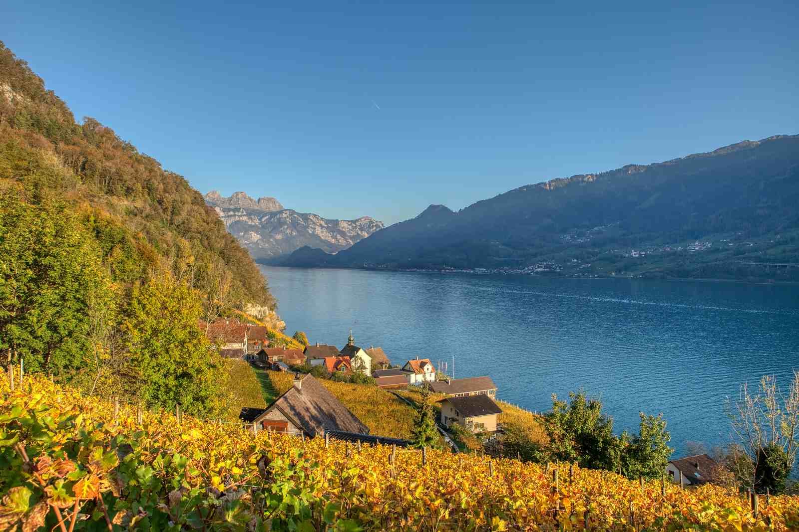
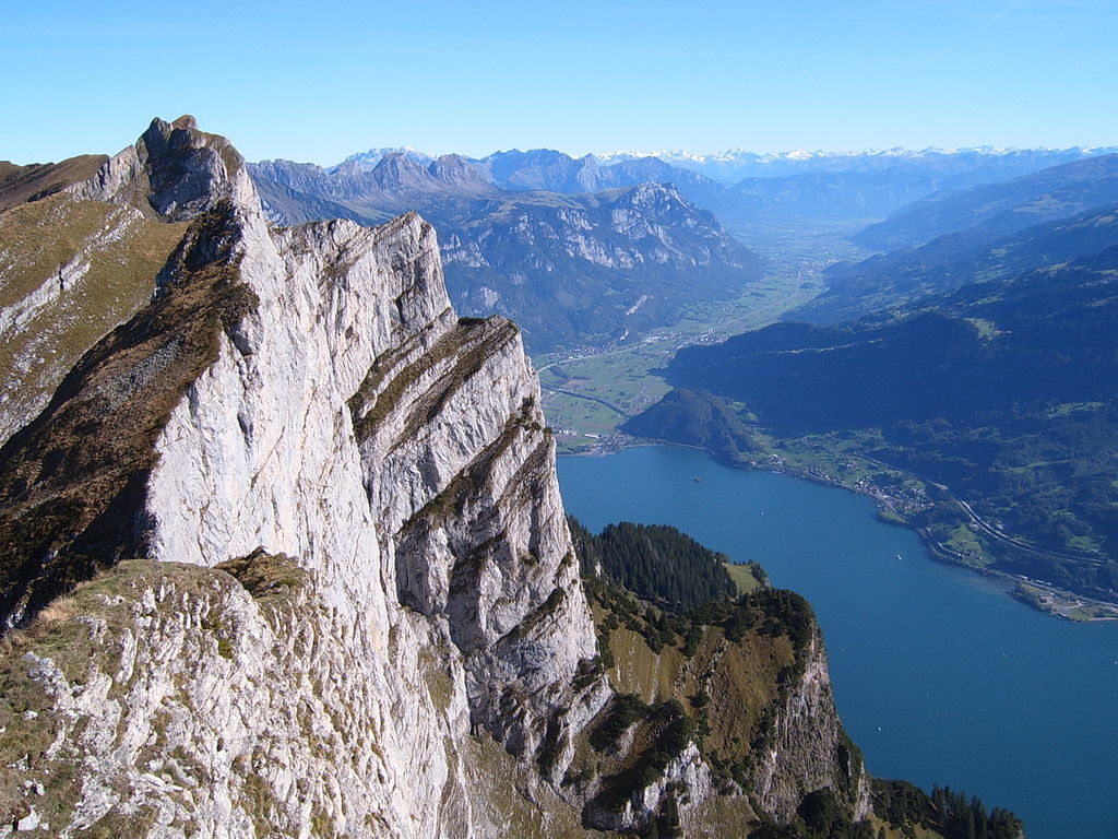
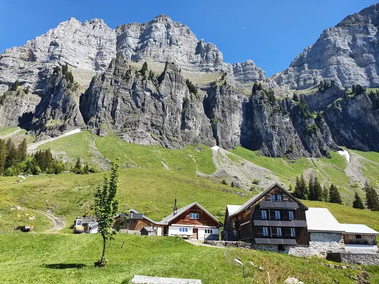
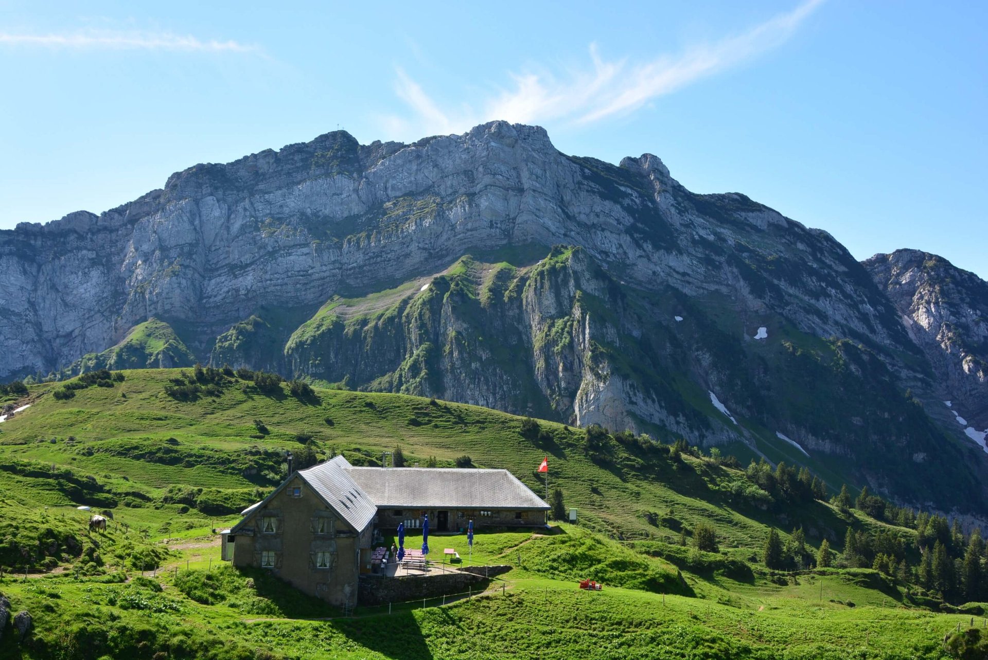
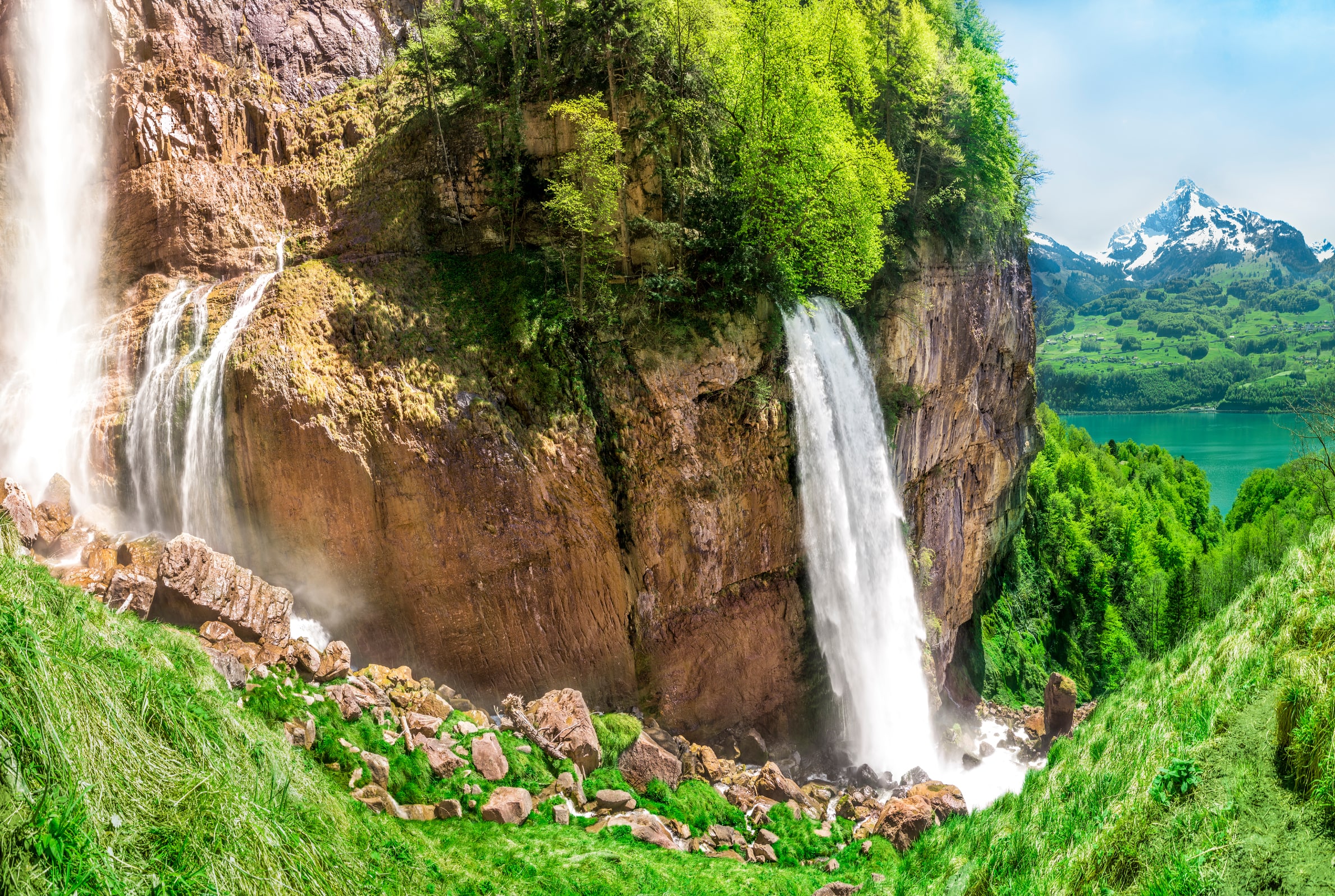
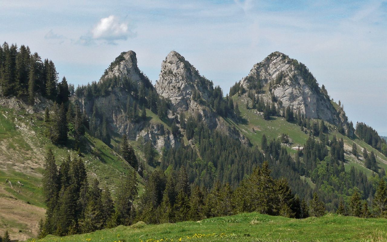
Here is a beautiful and sporty hike starting from Stein, tackling the Vorden Goggeien. At the start, the route follows a stream through a forest and then continues through pretty meadows, before climbing to the top of Vorden Goggeien. Located at 1,631 meters above sea level, it offers a magnificent 360° view of the surroundings.

Already more than 200,000 users!
Uphill
694m
Highest point
1594m
Downhill
694m
Lowest point
892m
Route type
There and back
Download the map on your smartphone to save battery and rest assured to always keep access to the route, even without signal.
Includes IGN France and Swisstopo.
I indicate whether dogs are allowed or prohibited on this trail
Can be difficult in Winter
0 ratings
Also enjoy:

Already more than 200,000 users!