Uphill
681m
Length
8km
Duration
4h30min
Elev gain
681m
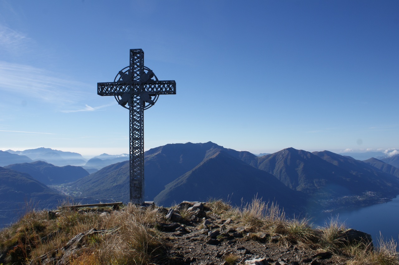
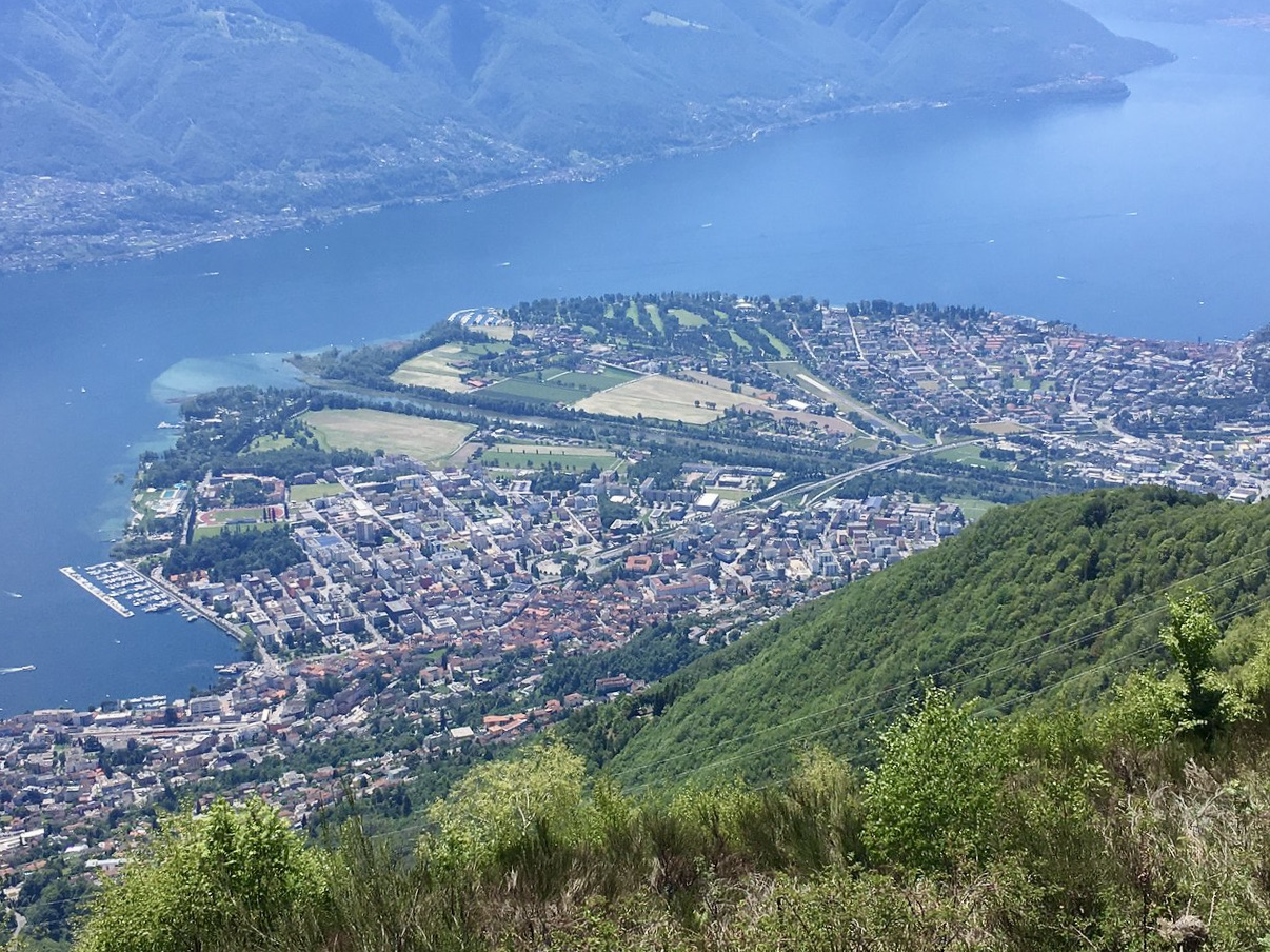
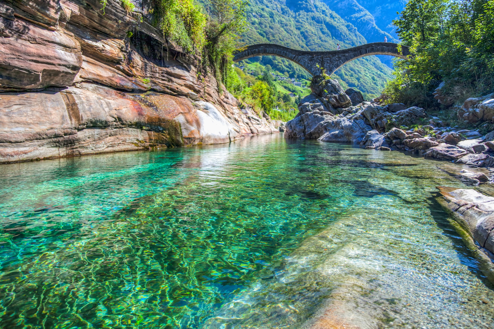
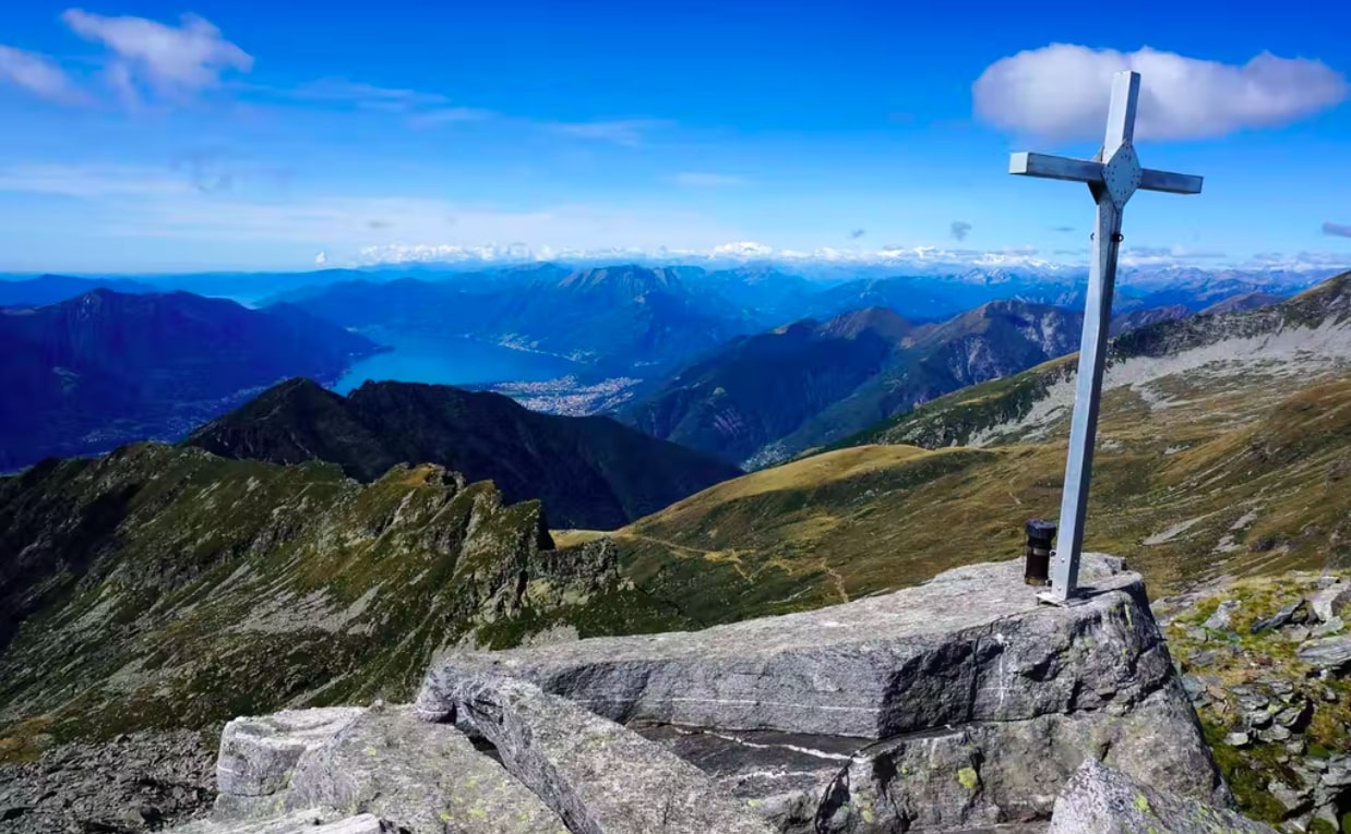
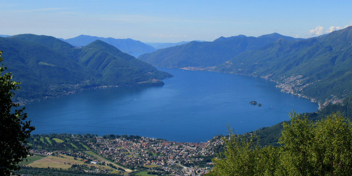
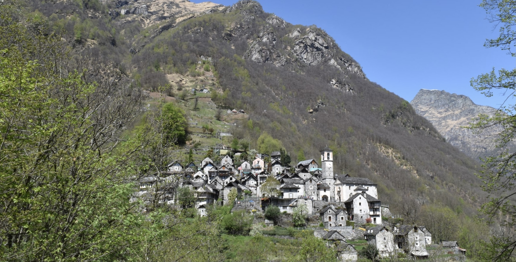
Nice hike between the villages of Mergoscia and Corippo, two real little corners of paradise. The route follows steep and steep paths that overlook Lake Vogorno and offer splendid views of the surroundings.

Already more than 200,000 users!
Uphill
681m
Highest point
887m
Downhill
681m
Lowest point
543m
Route type
There and back
Download the map on your smartphone to save battery and rest assured to always keep access to the route, even without signal.
Includes IGN France and Swisstopo.
I indicate whether dogs are allowed or prohibited on this trail
All year
0 ratings
Also enjoy:

Already more than 200,000 users!