Uphill
384m
Length
9km
Duration
3h
Elev gain
384m
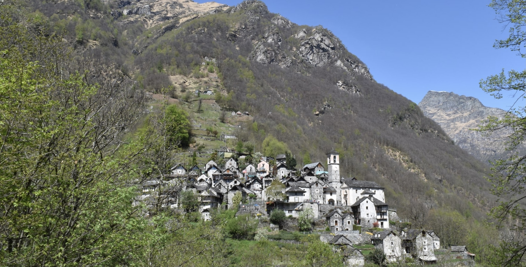
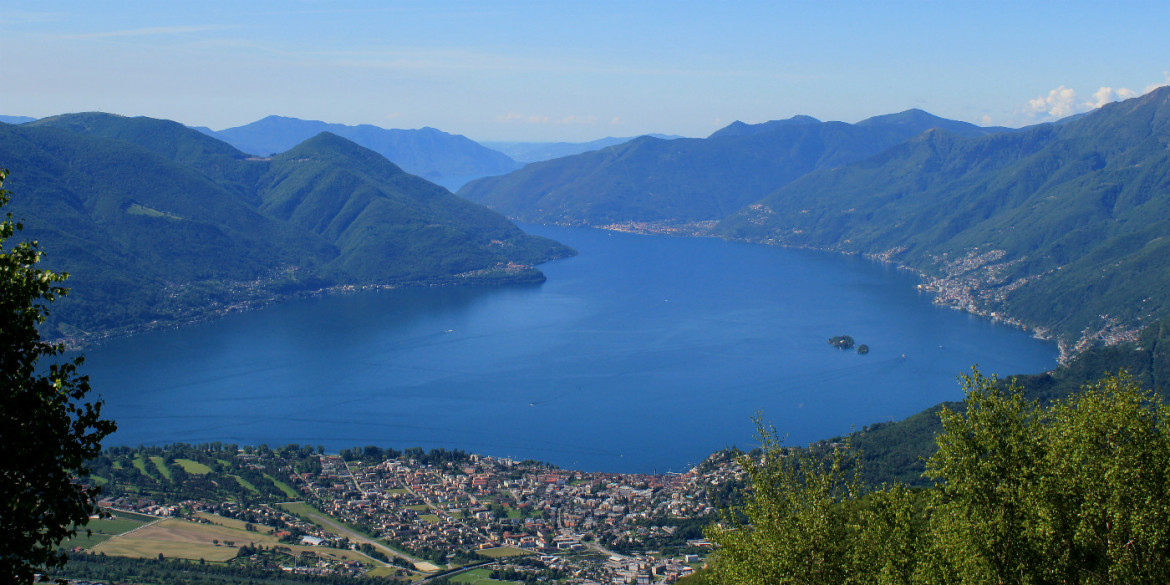
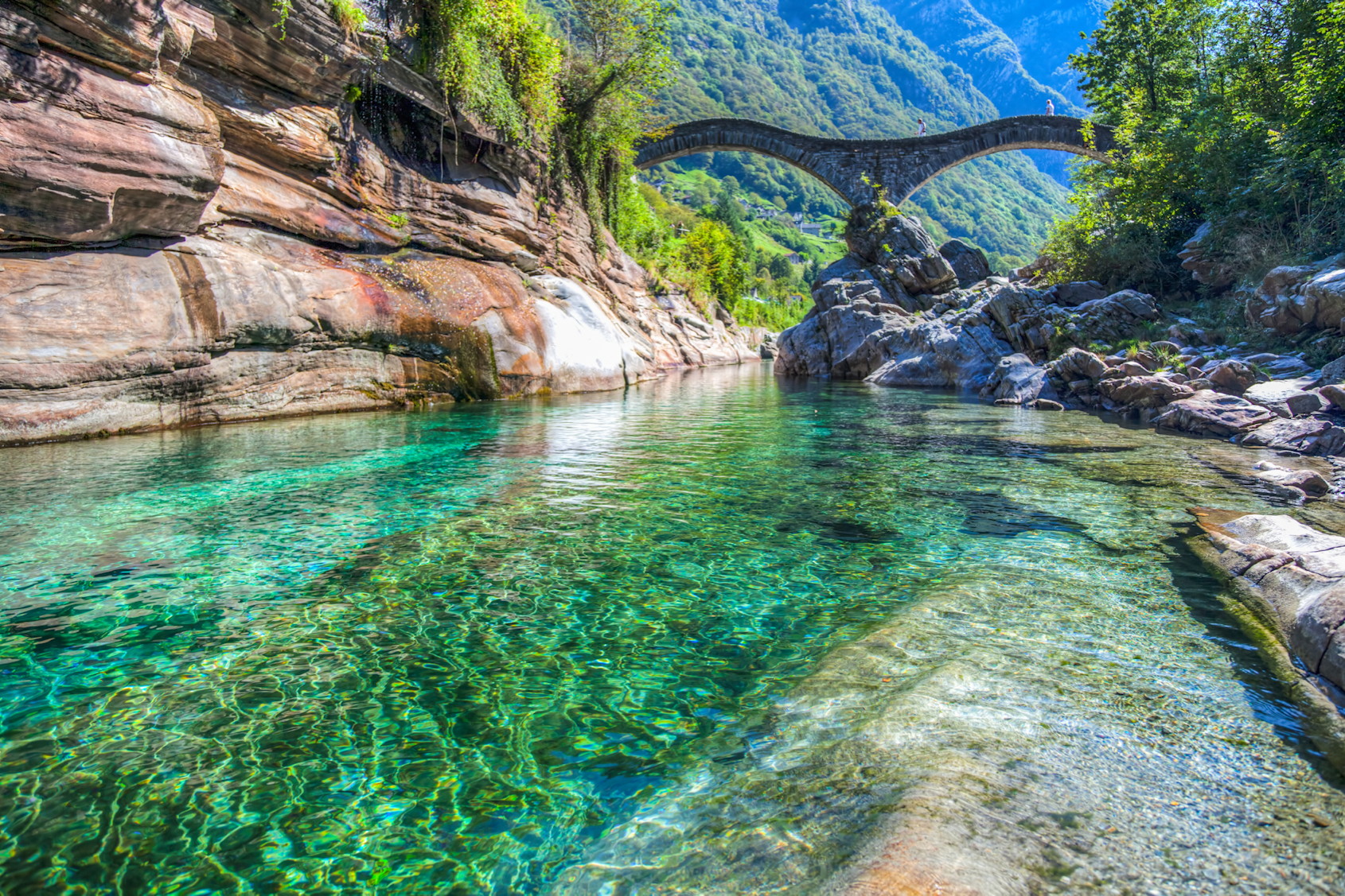
Wonderful hike on the banks of the Verzasca river to the hamlet of Ganne. The route is simple and is done on a well marked and maintained path. It's so beautiful that you want to stop every 5 minutes to savor the beauty of nature.

Already more than 200,000 users!
Uphill
384m
Highest point
699m
Downhill
384m
Lowest point
533m
Route type
There and back
Download the map on your smartphone to save battery and rest assured to always keep access to the route, even without signal.
Includes IGN France and Swisstopo.
I indicate whether dogs are allowed or prohibited on this trail
All year
1 rating
Also enjoy:

Already more than 200,000 users!