Uphill
1133m
Length
9km
Duration
7h
Elev gain
1133m
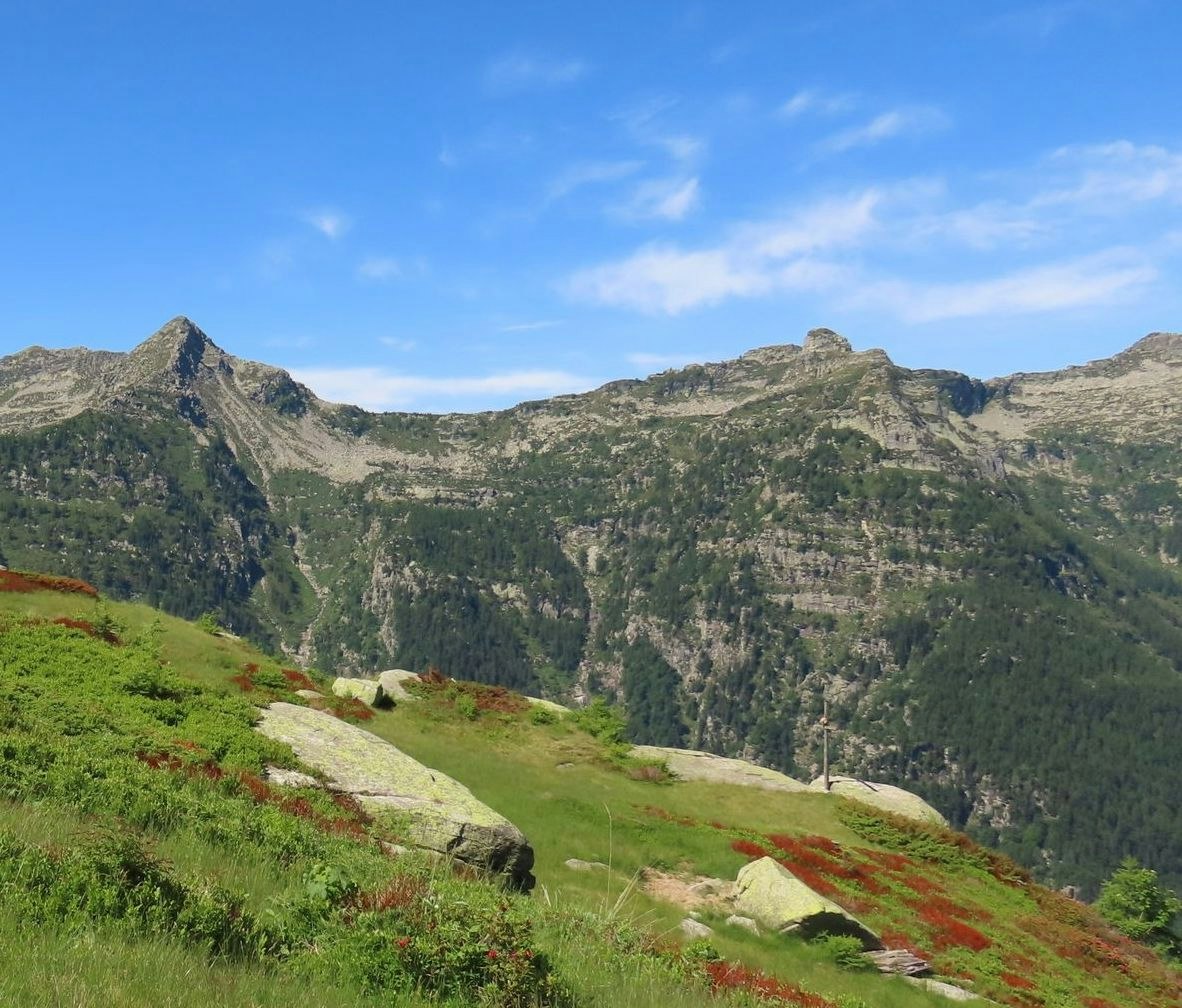
Located between Brione and Ganne, this route crosses the Verzasca then climbs through the forest until it comes to a small clearing, offering a superb view of the valley.

Already more than 200,000 users!
Uphill
1133m
Highest point
1818m
Downhill
1133m
Lowest point
719m
Route type
There and back
Download the map on your smartphone to save battery and rest assured to always keep access to the route, even without signal.
Includes IGN France and Swisstopo.
I indicate whether dogs are allowed or prohibited on this trail
From May to October
0 ratings
Also enjoy:

Already more than 200,000 users!


