Uphill
1181m
Length
13km
Duration
8h
Elev gain
1181m
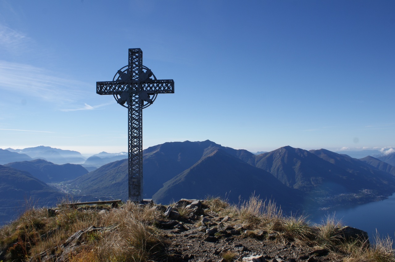
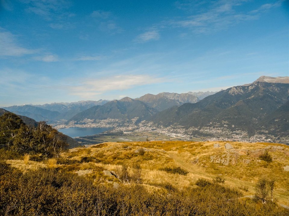
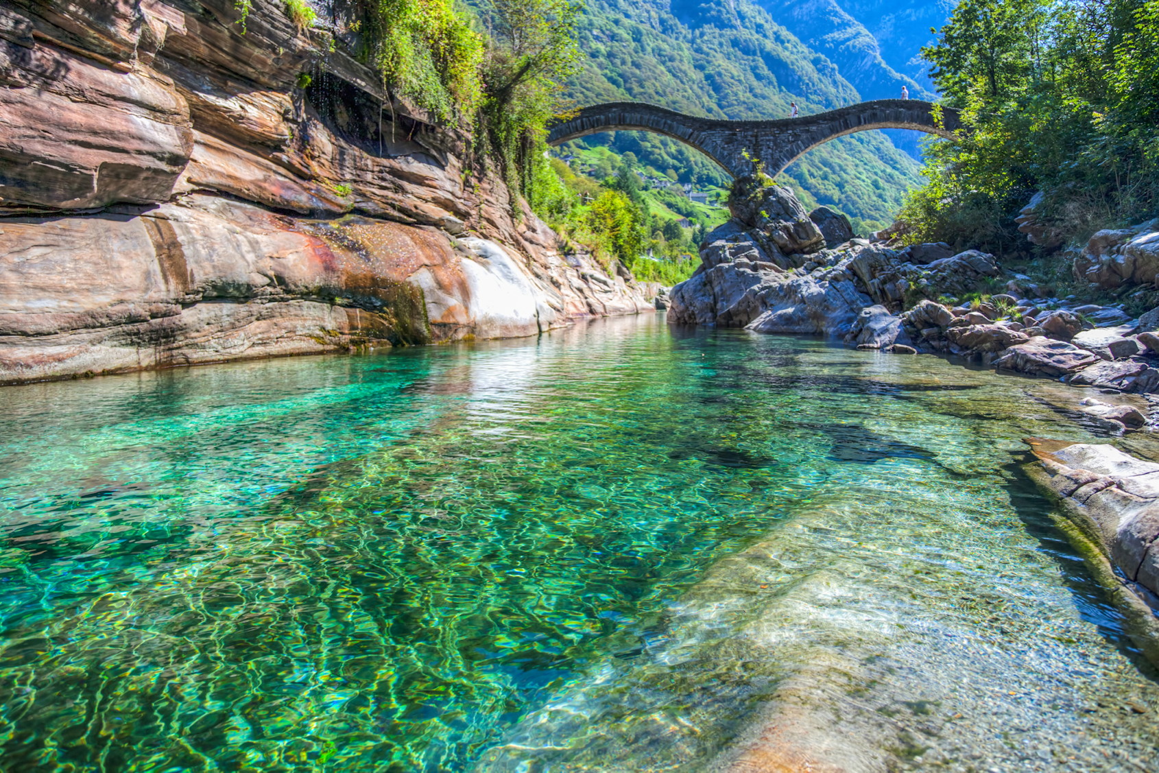
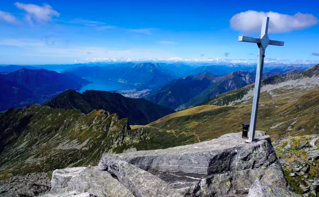
Long and beautiful hike to climb the Cima dell'Uomo, located at 2,439 meters above sea level. The route begins near Cugnasco, quickly gains height through the woods and then finally emerges from the forest to offer superb rocky landscapes. The trail continues to the top and offers incredible views of the surroundings, including the famous Lake Maggiore.

Already more than 200,000 users!
Uphill
1181m
Highest point
2313m
Downhill
1181m
Lowest point
1269m
Route type
Loop
Download the map on your smartphone to save battery and rest assured to always keep access to the route, even without signal.
Includes IGN France and Swisstopo.
I indicate whether dogs are allowed or prohibited on this trail
From May to September
0 ratings
Also enjoy:

Already more than 200,000 users!