Uphill
1220m

Length
20km
Duration
9h
Elev gain
1220m
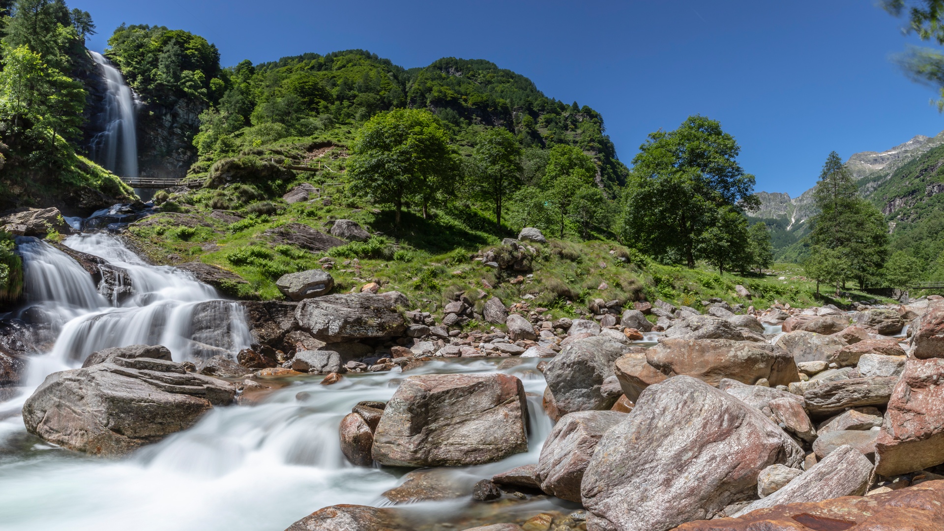
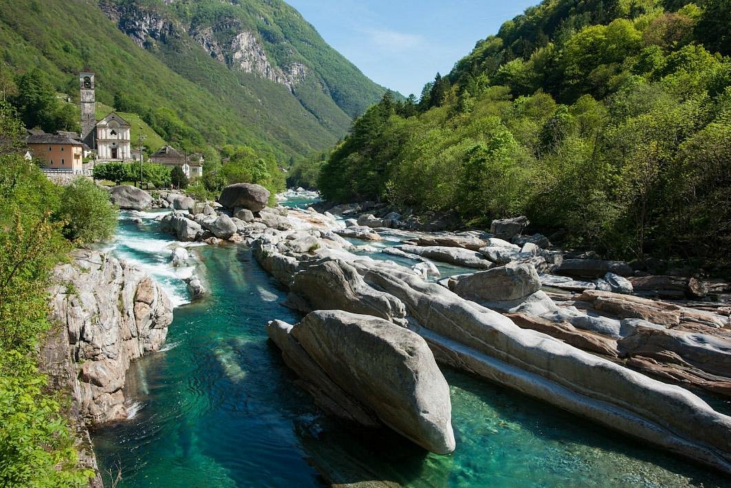
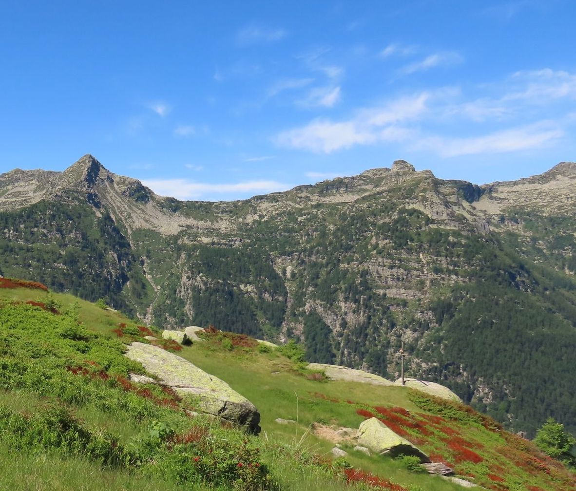
Starting from Ludiano, this long and pretty route climbs up to Monte Püscett. On the outward journey, the path passes through Navona and then winds its way up the mountain until it reaches the summit. At the top, the views are fantastic. You then have to go back down to the starting point via Pianezza then Semione, all in a very pleasant setting.

Already more than 200,000 users!
Uphill
1220m
Highest point
1592m
Downhill
1220m
Lowest point
378m
Route type
Loop
Download the map on your smartphone to save battery and rest assured to always keep access to the route, even without signal.
Includes IGN France and Swisstopo.
I indicate whether dogs are allowed or prohibited on this trail
Can be difficult in Winter
1 rating
Also enjoy:

Already more than 200,000 users!