Uphill
579m

Length
14km
Duration
5h
Elev gain
579m
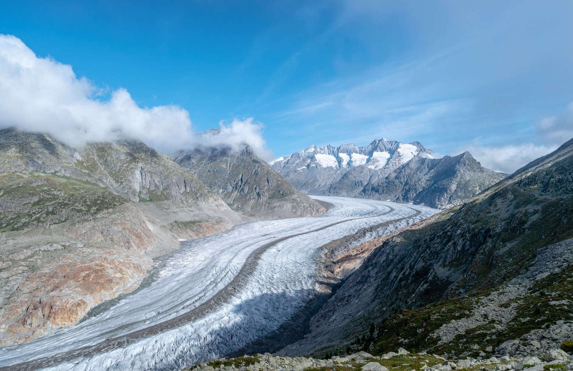
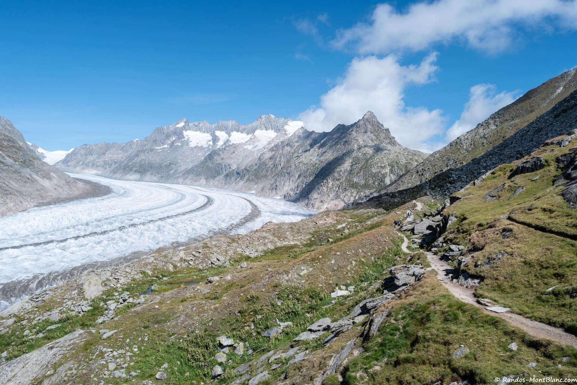
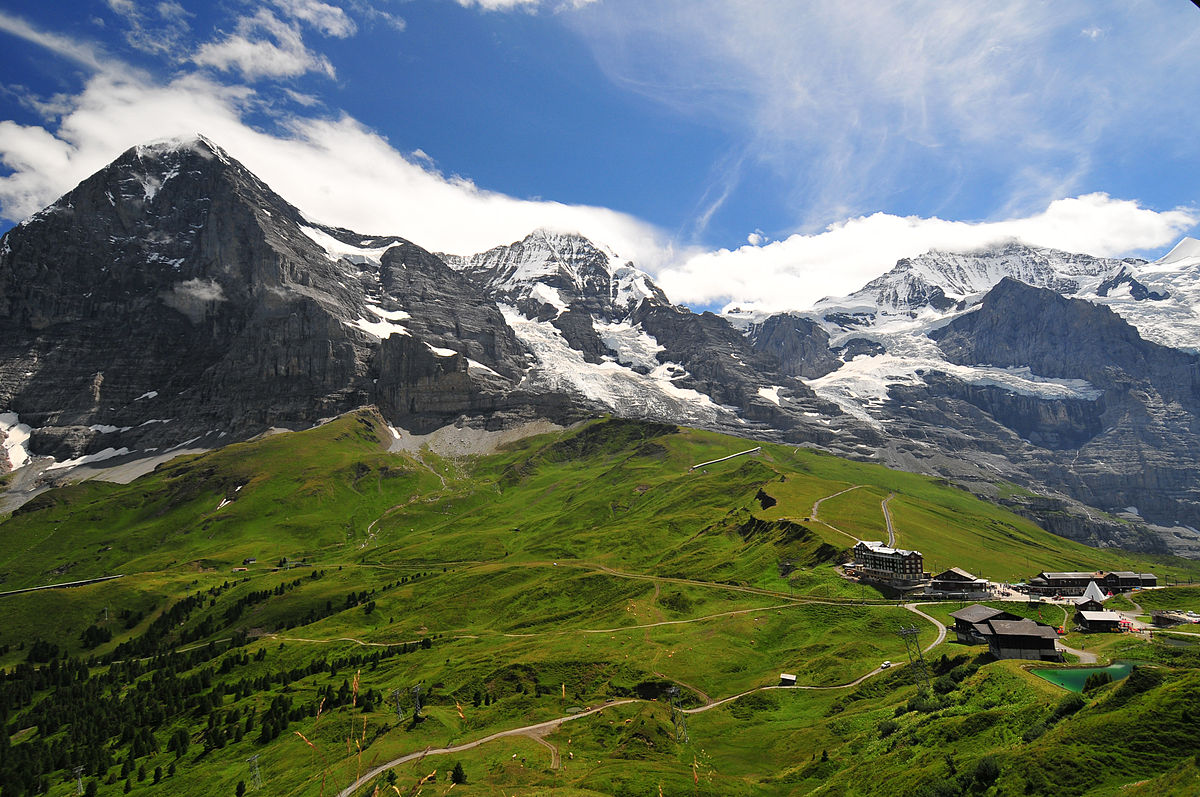
Departing from the Moosfluh chairlift, this route descends on the Aletsch glacier path. It thus offers a fantastic view of the glacier as well as the surrounding mountains until you reach the point of arrival, Fiescheralp, where it is possible to take a chairlift back to Fiesch.

Already more than 200,000 users!
Uphill
579m
Highest point
2639m
Downhill
708m
Lowest point
2140m
Route type
One way
Download the map on your smartphone to save battery and rest assured to always keep access to the route, even without signal.
Includes IGN France and Swisstopo.
Moosfluh cable car at the starting point.
Fiescheralp cable car at the arrival point.
I indicate whether dogs are allowed or prohibited on this trail
From June to September
2 ratings
Amazing hike, specially if you add the part of the glacier (you can walk extra 20min down and go bellow the glacier)
Also enjoy:

Already more than 200,000 users!