Uphill
7m
Length
4km
Duration
1h30min
Elev gain
7m
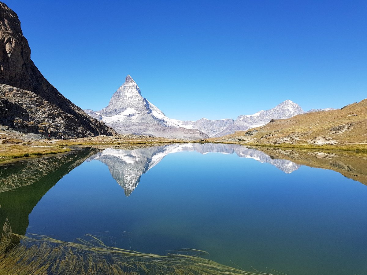
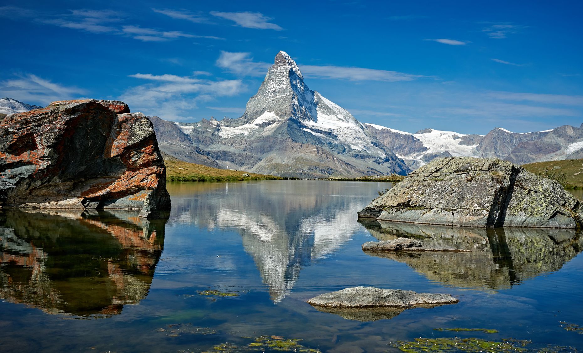
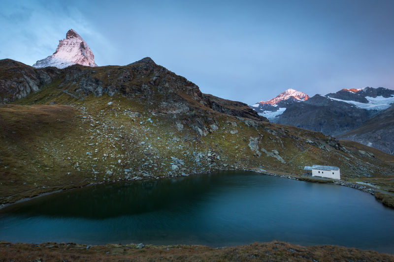
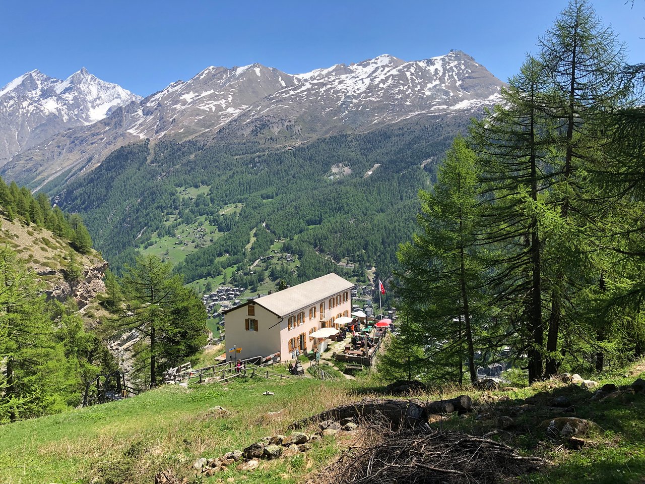
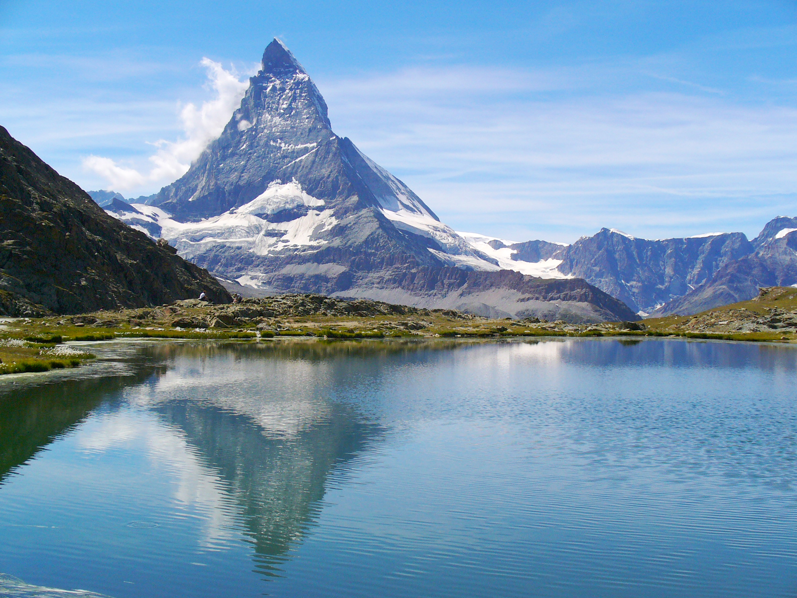
Departing from Gornergrat station, located more than 3,000 meters above sea level, this route leads to Riffelberg. The trail passes very close to Riffelsee, famous for reflecting the Matterhorn on its water. In short, an easy little hike, all downhill and offering superb views of the Matterhorn. What more could you ask for?

Already more than 200,000 users!
Uphill
7m
Highest point
3086m
Downhill
505m
Lowest point
2581m
Route type
One way
Download the map on your smartphone to save battery and rest assured to always keep access to the route, even without signal.
Includes IGN France and Swisstopo.
I indicate whether dogs are allowed or prohibited on this trail
From June to September
1 rating
Also enjoy:

Already more than 200,000 users!