Uphill
968m
Length
13km
Duration
7h
Elev gain
968m
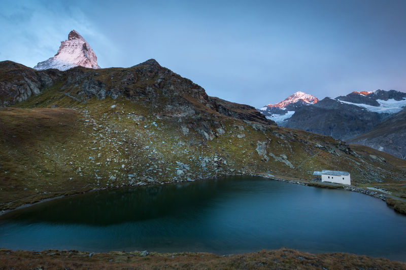
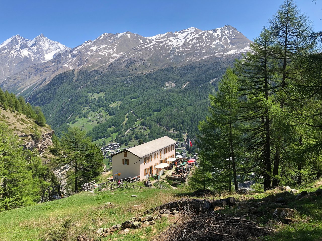
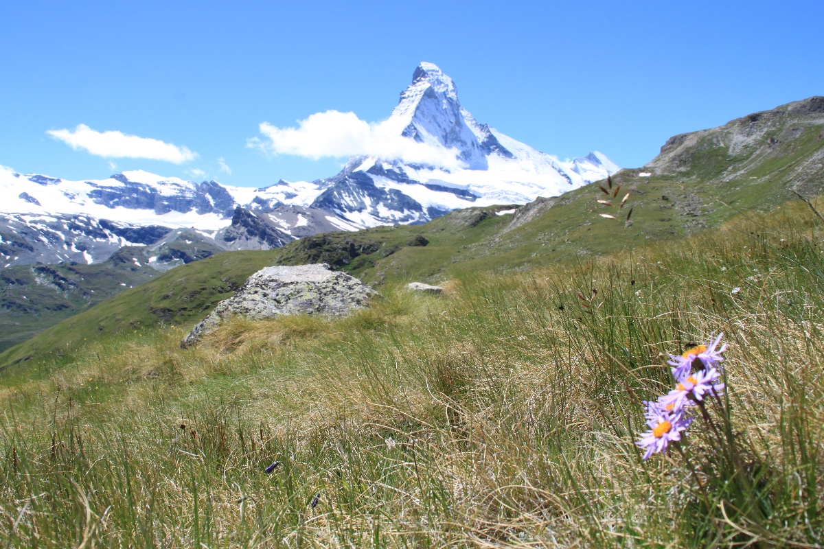
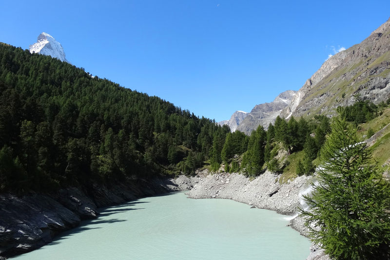
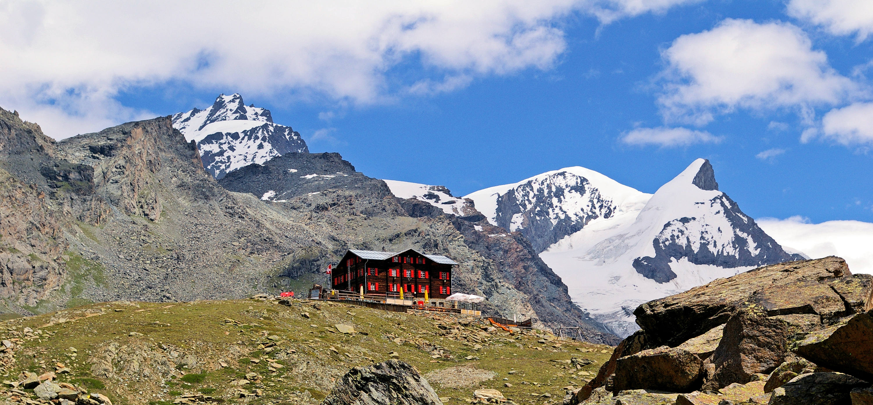
Here is a superb hike where efforts are rewarded. Indeed, starting near Findelbach station, this route climbs up to the Fluhalp mountain restaurant, located at 2,606 meters above sea level. The trail passes by three small mountain lakes until it comes to the restaurant. Here, you can enjoy the magnificent view of the Matterhorn while eating, before heading back to the starting point.

Already more than 200,000 users!
Uphill
968m
Highest point
2620m
Downhill
968m
Lowest point
1690m
Route type
There and back
Download the map on your smartphone to save battery and rest assured to always keep access to the route, even without signal.
Includes IGN France and Swisstopo.
A restaurant is situated halfway through.
I indicate whether dogs are allowed or prohibited on this trail
From June to September
0 ratings
Also enjoy:

Already more than 200,000 users!