Uphill
381m
Length
10km
Duration
3h30min
Elev gain
381m
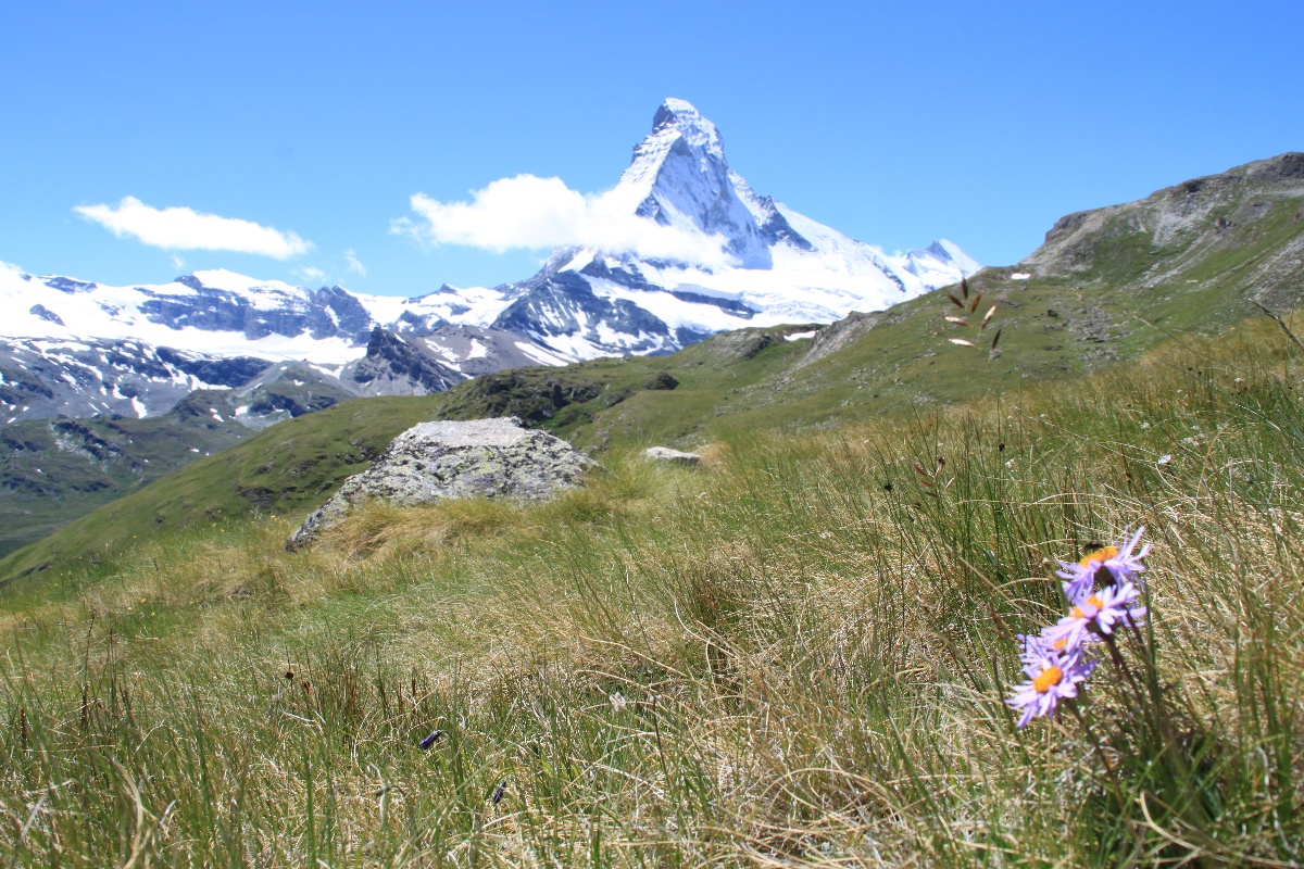
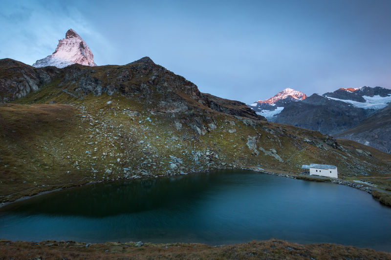
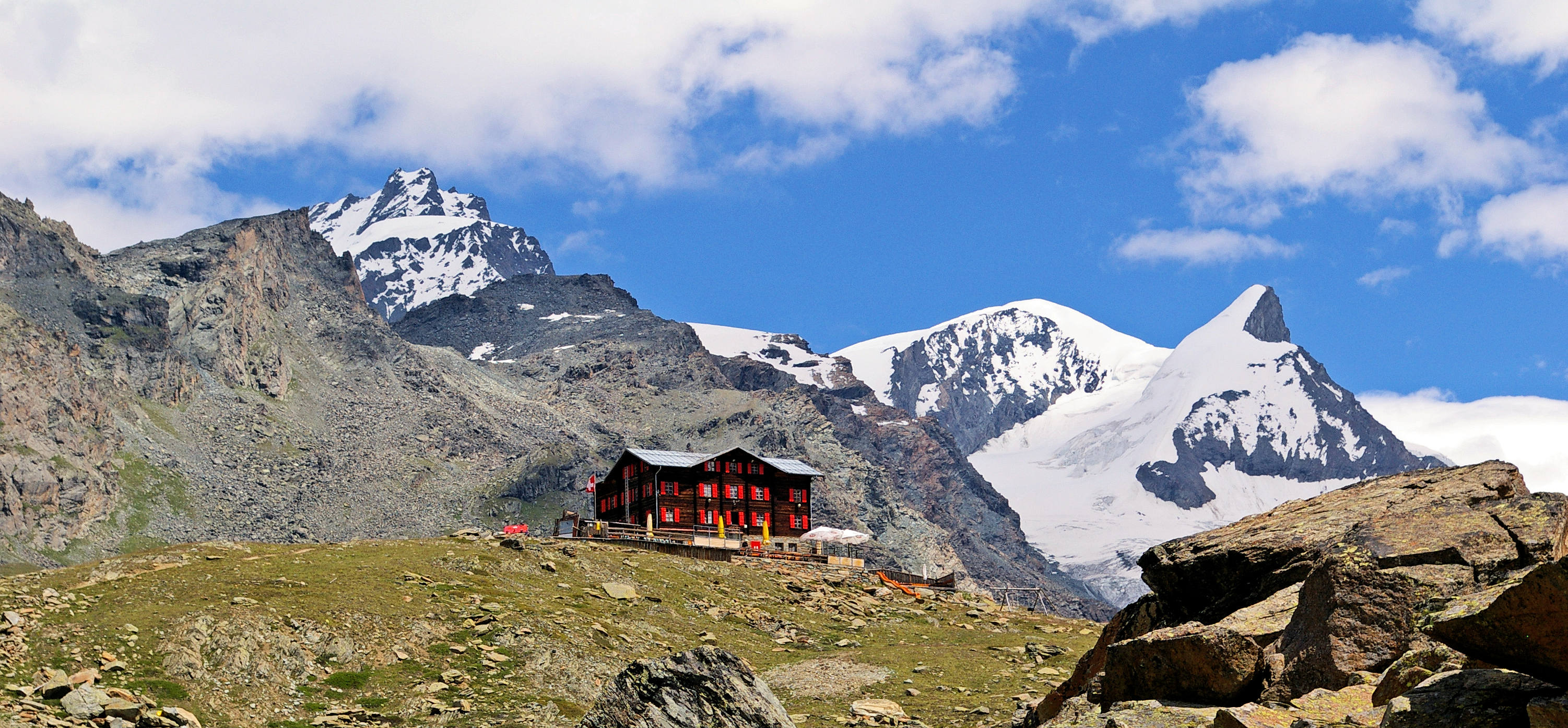
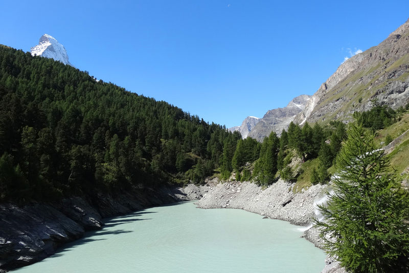
Here is a pretty route that begins in the heart of Zermatt. The trail crosses the charming mountain village of Zmutt until it reaches a body of water held back by a dam. The route offers views of the Matterhorn for a good part of the hike.

Already more than 200,000 users!
Uphill
381m
Highest point
1991m
Downhill
381m
Lowest point
1614m
Route type
Loop
Download the map on your smartphone to save battery and rest assured to always keep access to the route, even without signal.
Includes IGN France and Swisstopo.
I indicate whether dogs are allowed or prohibited on this trail
From May to October
0 ratings
Also enjoy:

Already more than 200,000 users!