Uphill
1157m
Length
20km
Duration
8h30min
Elev gain
1157m
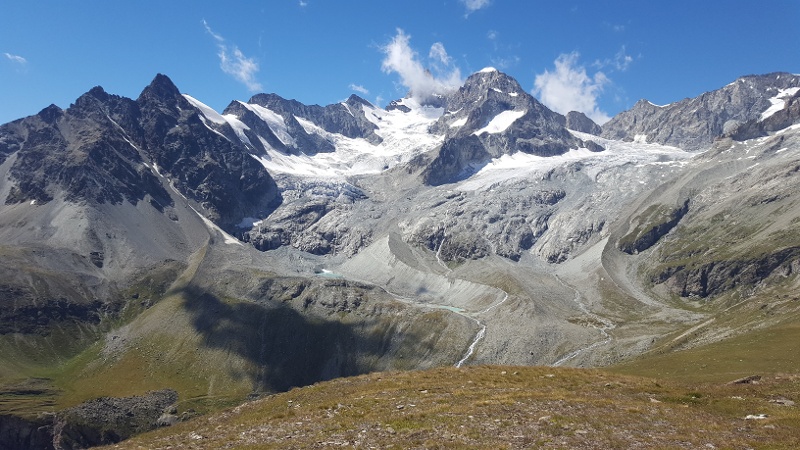
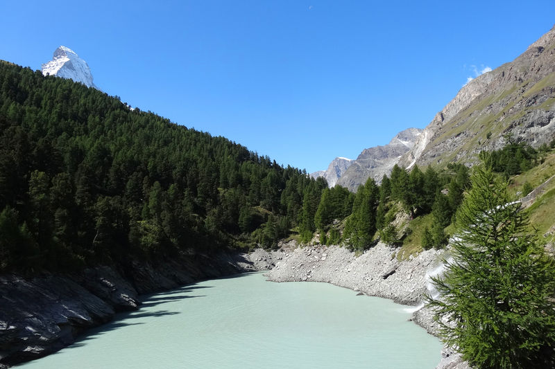
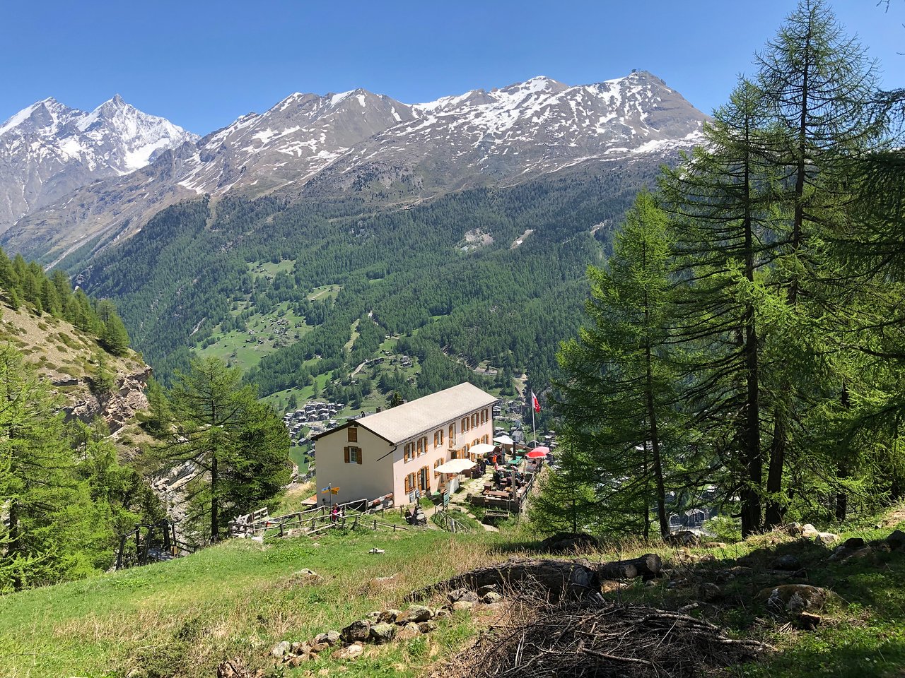
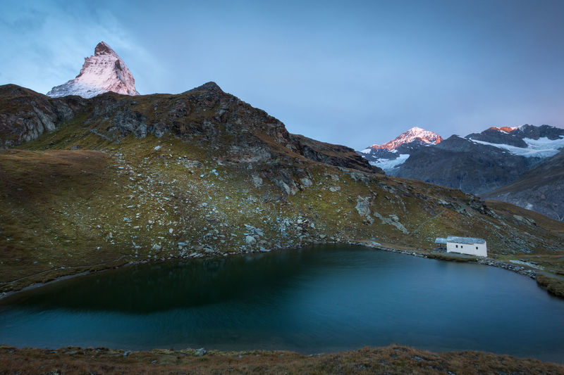
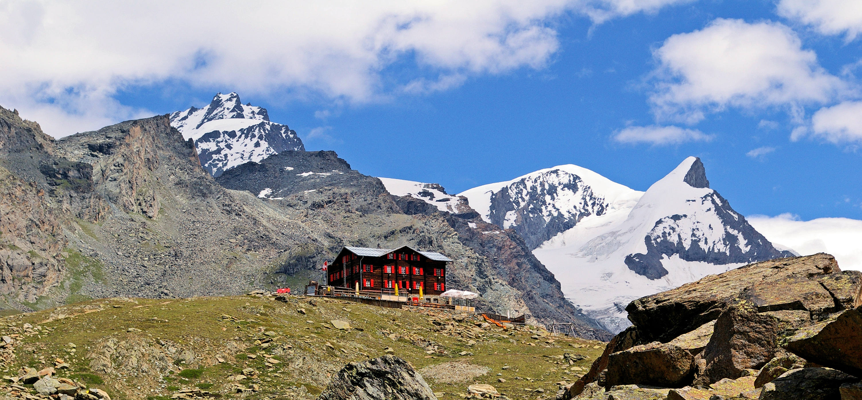
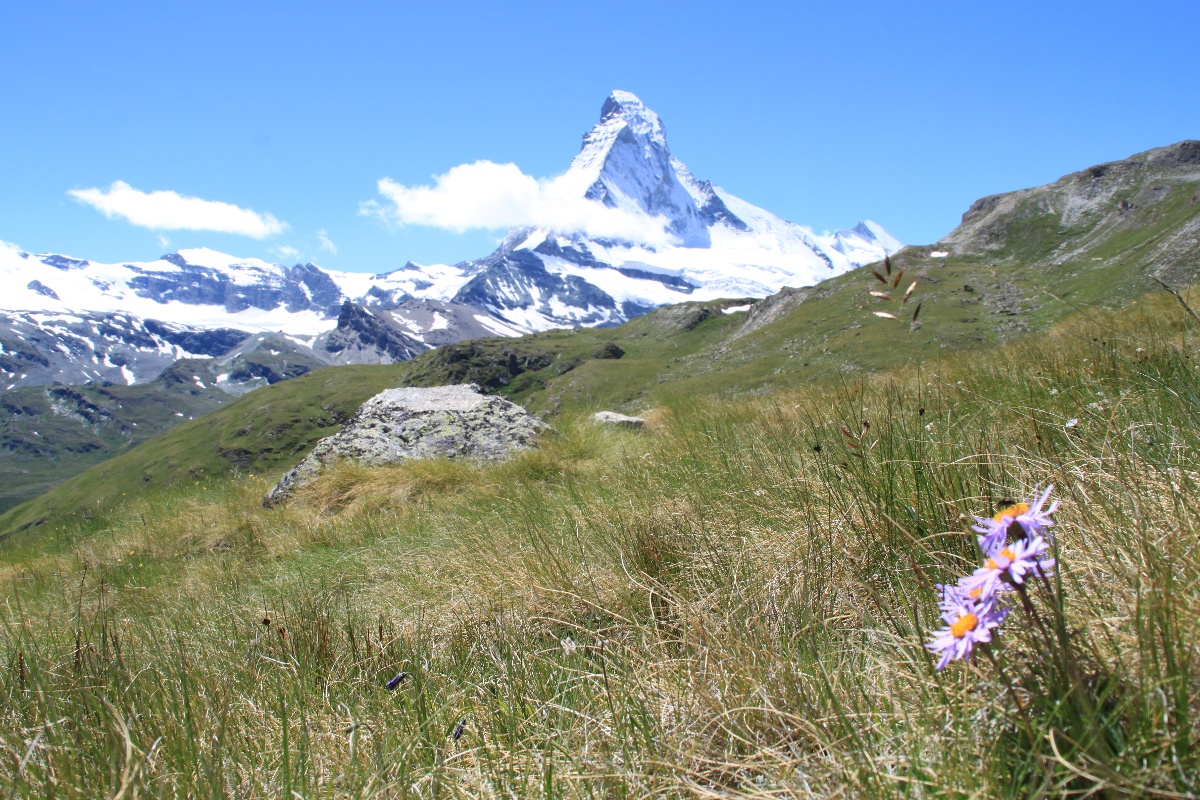
Fancy a hike that offers an incredible view of the Matterhorn? There it is. This long route, which has a relatively large drop, is absolutely incredible. Indeed, starting from Zermatt station, this route passes through Edelweiss, Trift, Höhbalmen, Zmutt and then returns to the starting point.

Already more than 200,000 users!
Uphill
1157m
Highest point
2755m
Downhill
1157m
Lowest point
1614m
Route type
Loop
Download the map on your smartphone to save battery and rest assured to always keep access to the route, even without signal.
Includes IGN France and Swisstopo.
I indicate whether dogs are allowed or prohibited on this trail
From June to September
1 rating
Also enjoy:

Already more than 200,000 users!