Uphill
1305m
Length
14km
Duration
8h30min
Elev gain
1305m
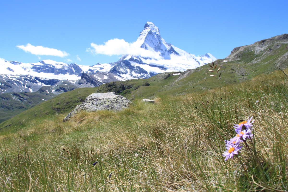
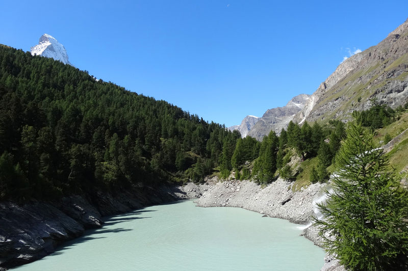
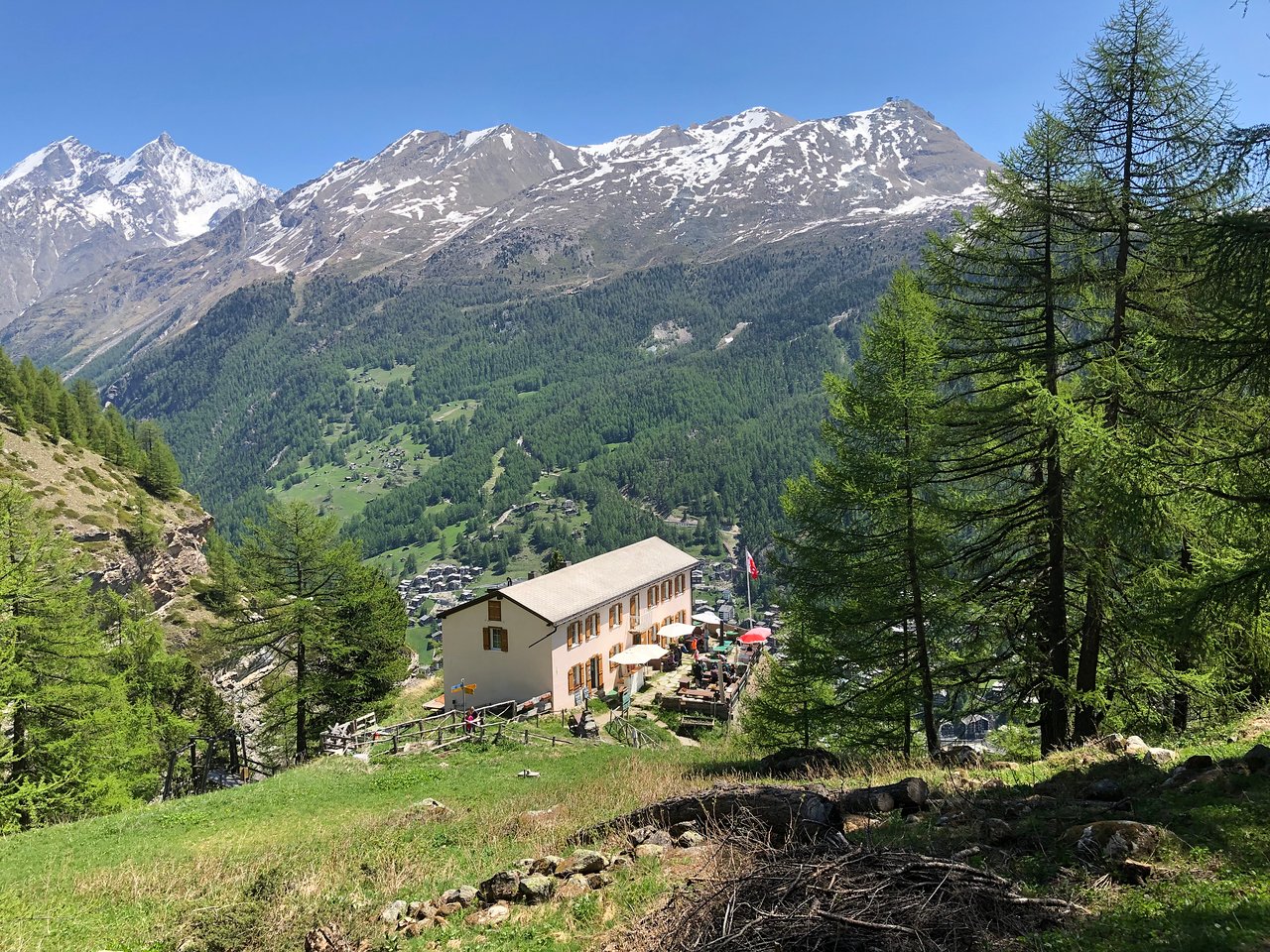
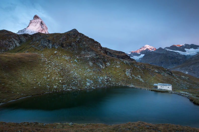
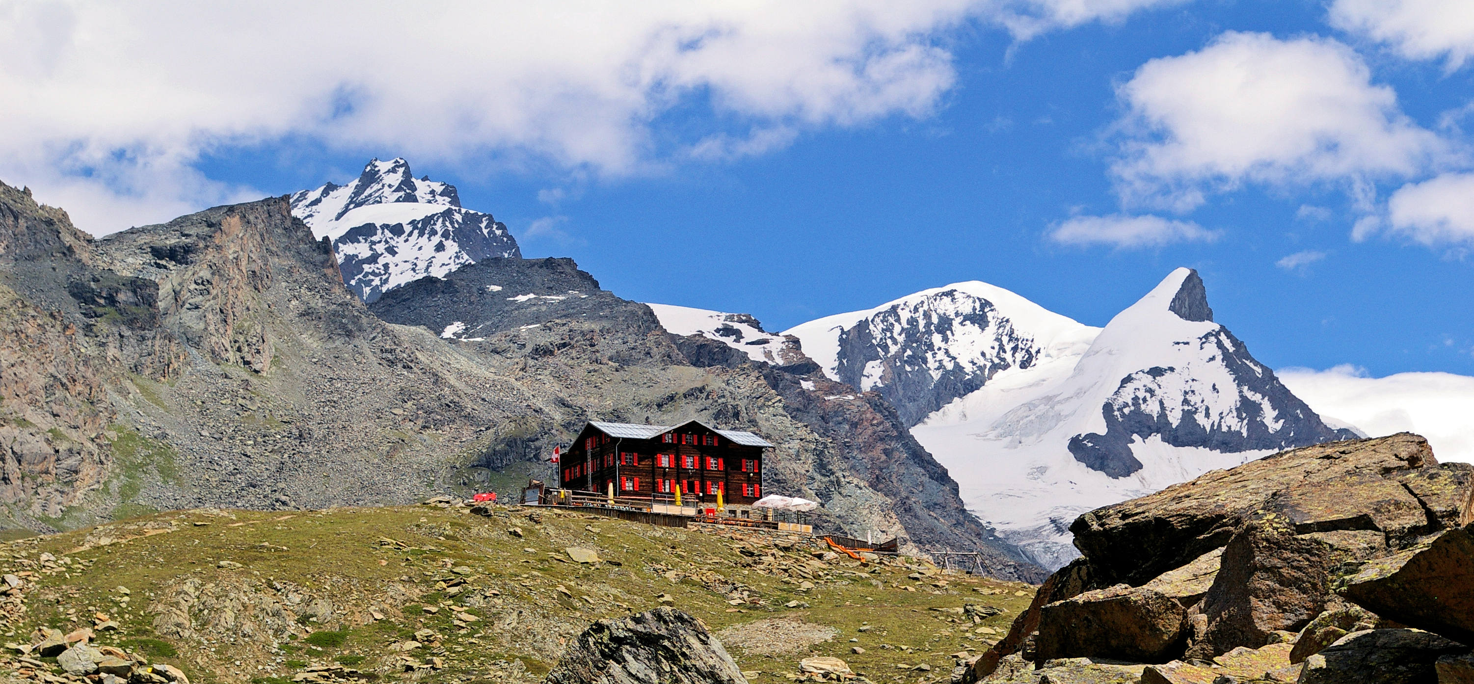
Superb hike starting from Zermatt and attacking the Wisshorn. The route passes through Schweifinen then joins the Wisshorn, located 2,936 meters above sea level, before taking the direction of the Trift refuge. The trail then descends via the Edelweiss hotel-restaurant until it returns to the starting point.

Already more than 200,000 users!
Uphill
1305m
Highest point
2918m
Downhill
1305m
Lowest point
1613m
Route type
Loop
Download the map on your smartphone to save battery and rest assured to always keep access to the route, even without signal.
Includes IGN France and Swisstopo.
I indicate whether dogs are allowed or prohibited on this trail
From June to September
0 ratings
Also enjoy:

Already more than 200,000 users!