Uphill
1143m
Length
18km
Duration
8h30min
Elev gain
1143m
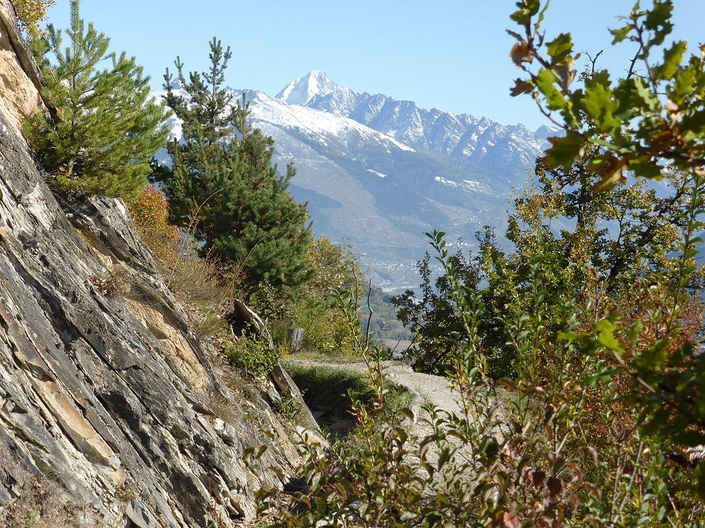
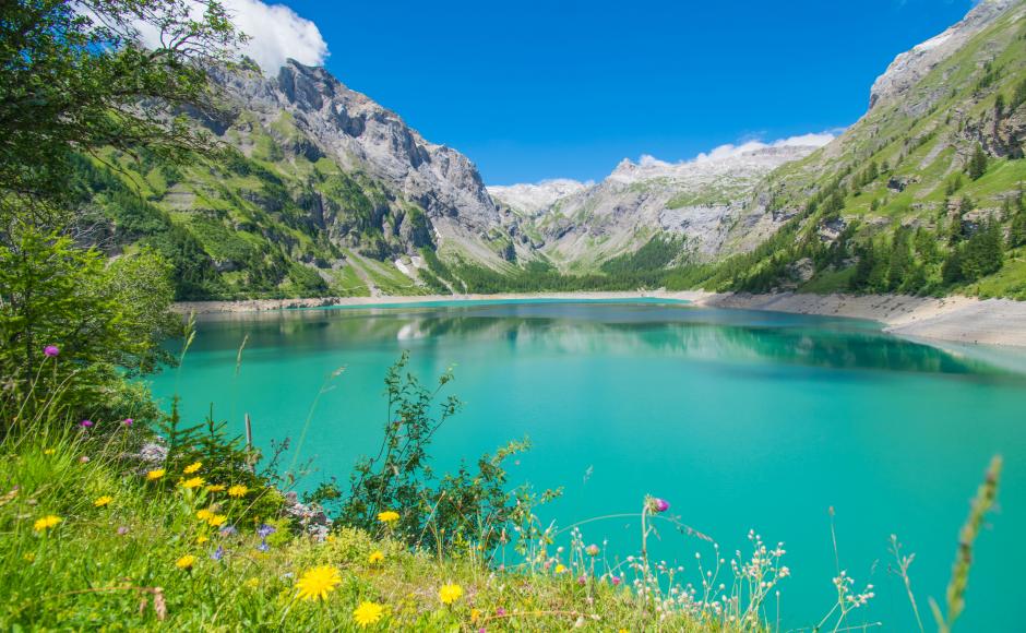
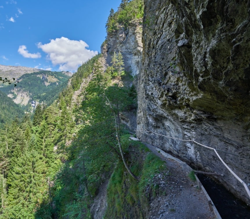
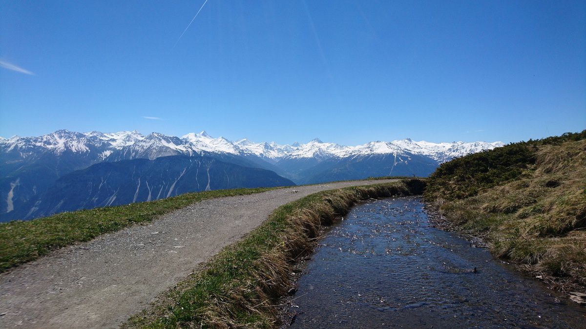
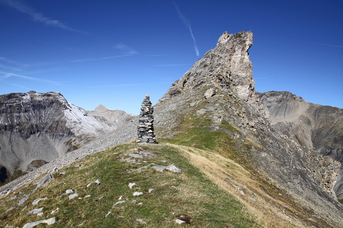
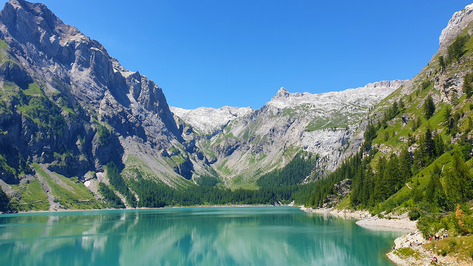
This hike allows you to discover the Bisse du Ro, a path along an old canal, with vertiginous passages on the side of cliffs and footbridges. To be avoided by those who fear heights. Nice man-made lake at the top.

Already more than 200,000 users!
Uphill
1143m
Highest point
1815m
Downhill
1143m
Lowest point
1373m
Route type
There and back
Download the map on your smartphone to save battery and rest assured to always keep access to the route, even without signal.
Includes IGN France and Swisstopo.
I indicate whether dogs are allowed or prohibited on this trail
From May to October
0 ratings
Also enjoy:

Already more than 200,000 users!