Uphill
122m
Length
5km
Duration
1h30min
Elev gain
122m
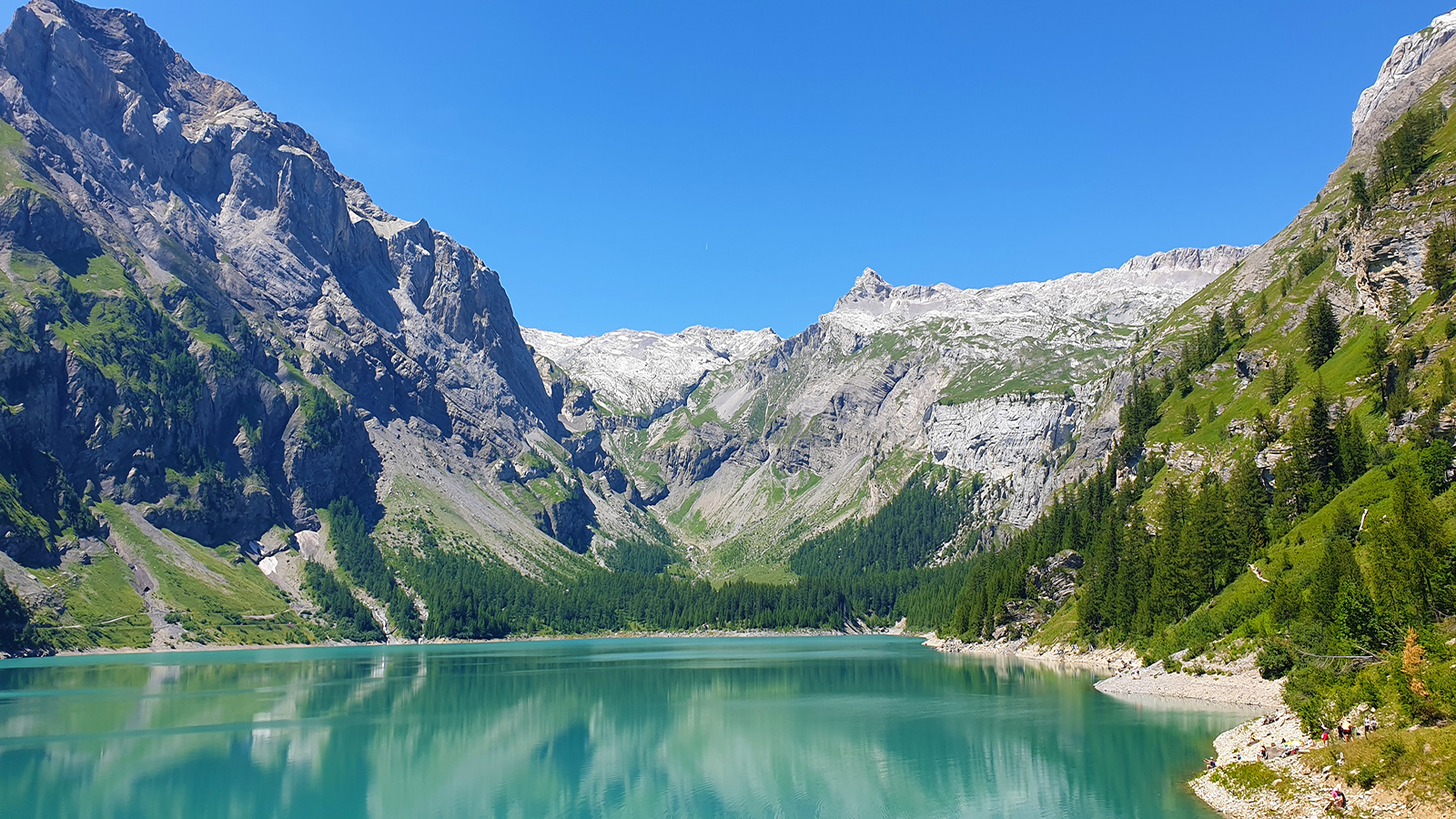
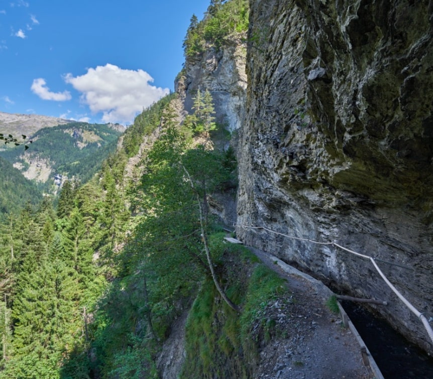
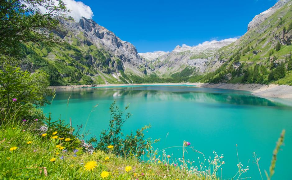
Short family-friendly walk around the beautiful lake of Tseuzier. The path passes by the Lourantze gîte, where it is possible to eat and sleep, as well as by pretty waterfalls located along the path. In short, a walk in a splendid natural environment.

Already more than 200,000 users!
Uphill
122m
Highest point
1850m
Downhill
122m
Lowest point
1760m
Route type
Loop
Download the map on your smartphone to save battery and rest assured to always keep access to the route, even without signal.
Includes IGN France and Swisstopo.
I indicate whether dogs are allowed or prohibited on this trail
From May to October
3 ratings
Also enjoy:

Already more than 200,000 users!