Uphill
467m
Length
10km
Duration
3h30min
Elev gain
467m
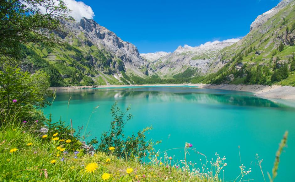
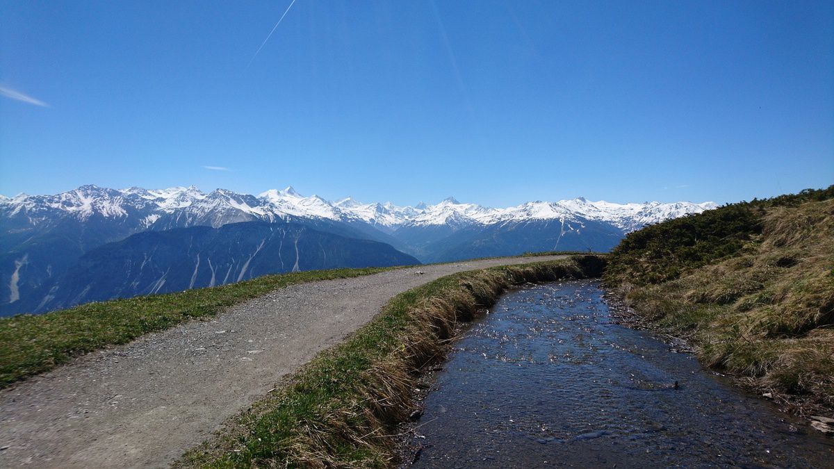
Starting from the Colombire mountain pasture, this route makes a loop in the heart of the Tièche valley. The trail follows the stream, passes by pretty waterfalls and offers great views of the Matterhorn. The return is via the Sex cave, where it is possible to consume local products.

Already more than 200,000 users!
Uphill
467m
Highest point
2149m
Downhill
467m
Lowest point
1778m
Route type
Loop
Download the map on your smartphone to save battery and rest assured to always keep access to the route, even without signal.
Includes IGN France and Swisstopo.
I indicate whether dogs are allowed or prohibited on this trail
From May to September
0 ratings
Also enjoy:

Already more than 200,000 users!