Uphill
72m
Length
3km
Duration
1h
Elev gain
72m
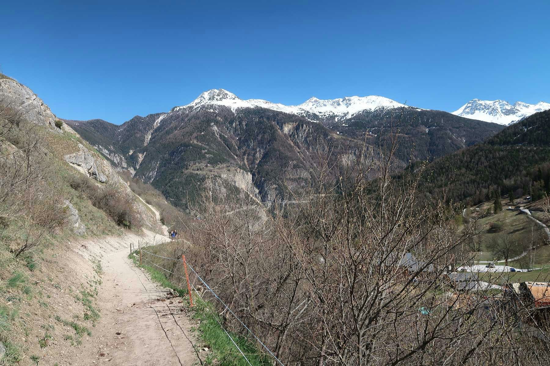
Departing from Vercorin, this little family-friendly excursion makes a nice loop on the heights of the village. The route goes around the hill and offers superb views of the Rhône plain and its surroundings.

Already more than 200,000 users!
Uphill
72m
Highest point
1357m
Downhill
72m
Lowest point
1292m
Route type
Loop
Download the map on your smartphone to save battery and rest assured to always keep access to the route, even without signal.
Includes IGN France and Swisstopo.
I indicate whether dogs are allowed or prohibited on this trail
Can be difficult in Winter
1 rating
Also enjoy:

Already more than 200,000 users!


