Uphill
1248m
Length
23km
Duration
9h30min
Elev gain
1248m
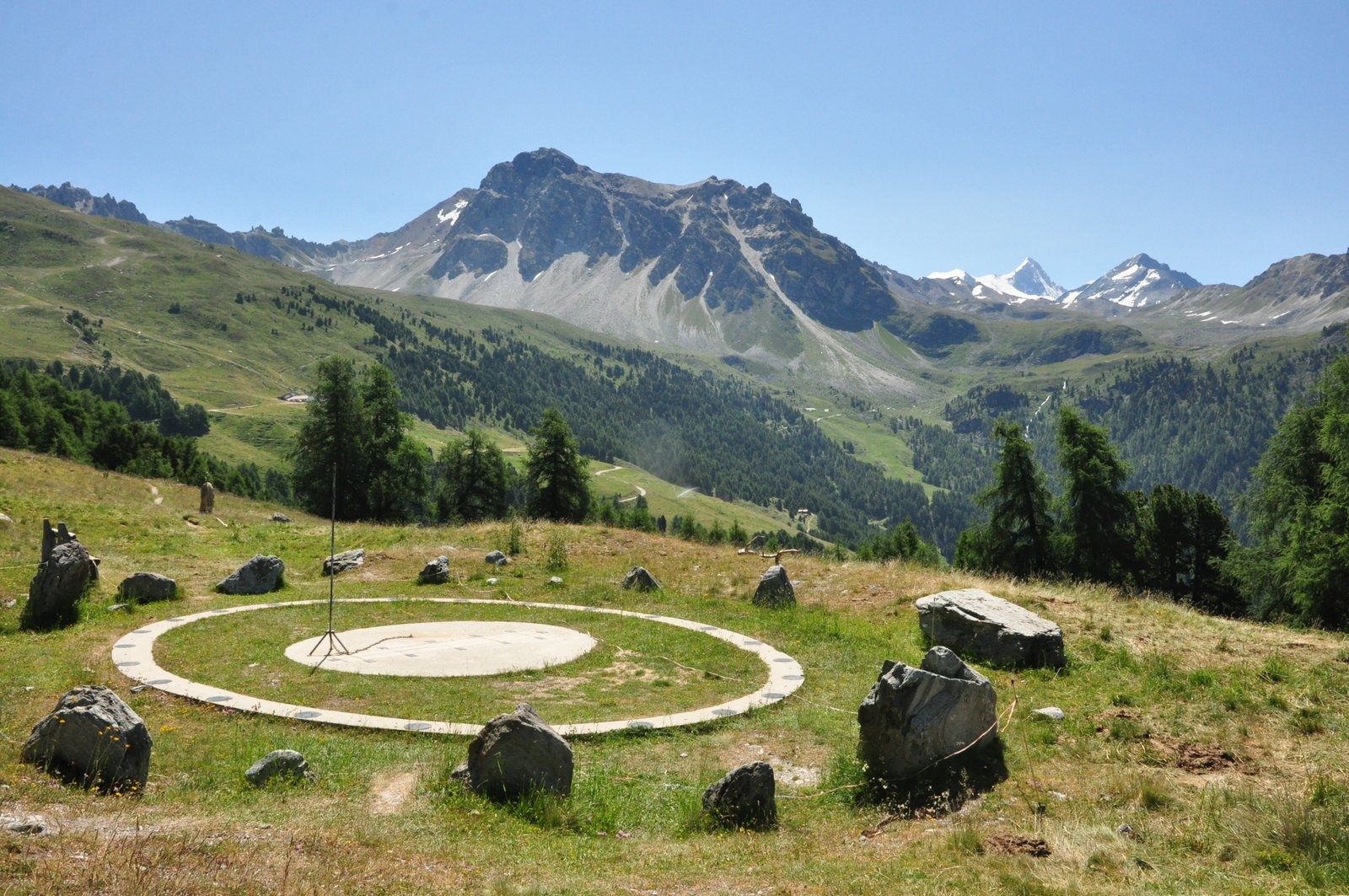
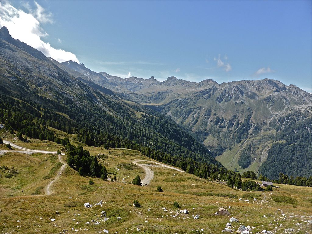
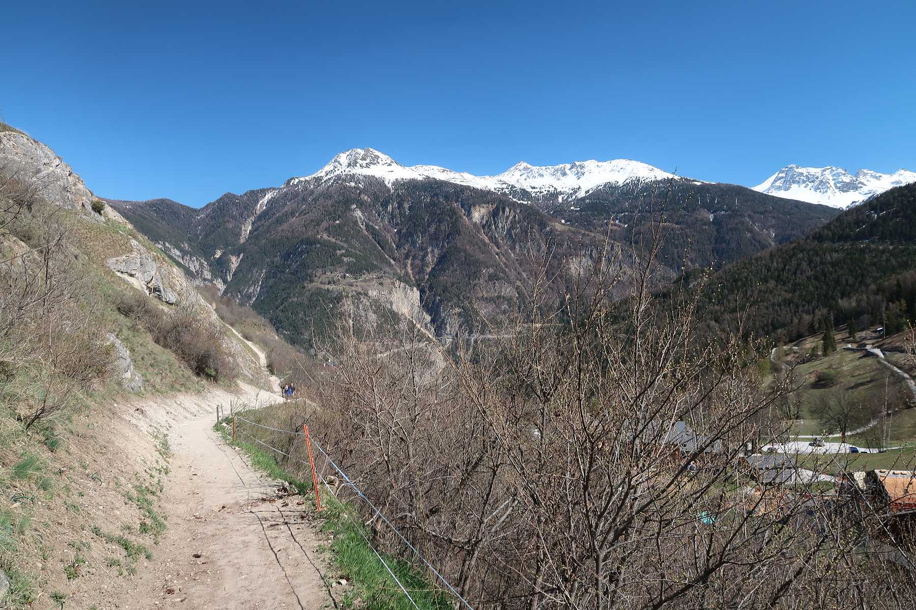
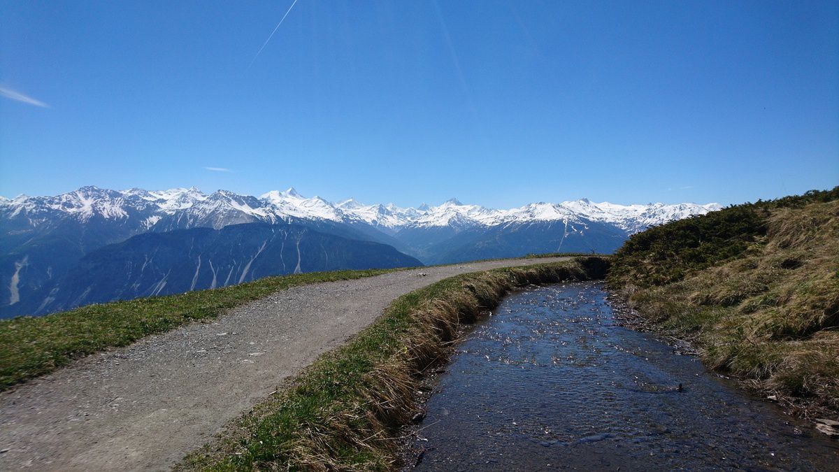
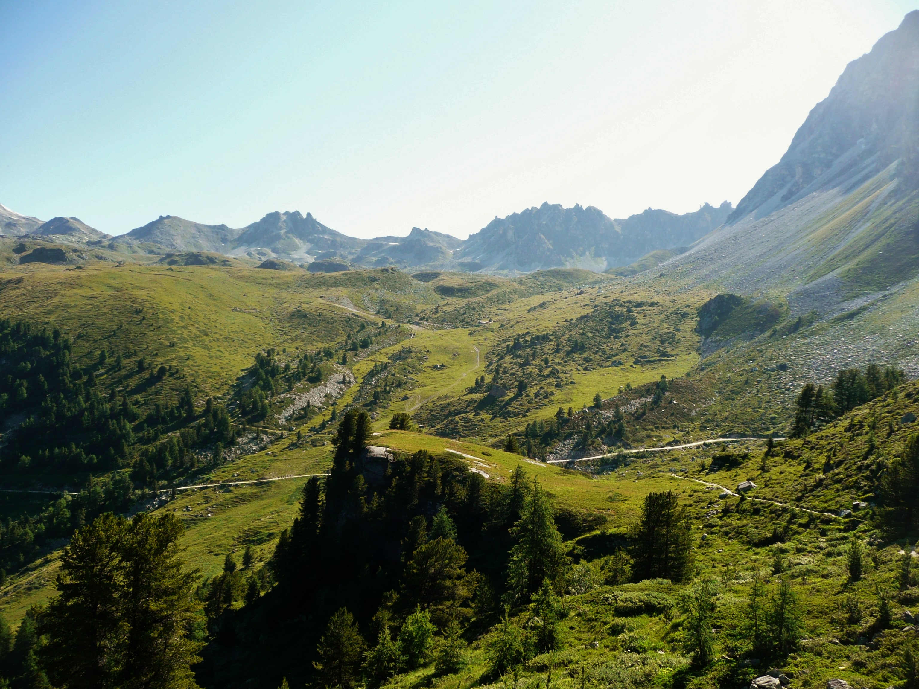
Magnificent hike above the Val d'Anniviers, at more than 3,000 meters above sea level. The route climbs two peaks, the Rothorn then the Bella Tolla before descending into the vast rocky desert towards the Pas de Bœuf. The path then passes through the Meidpasse and returns to the starting point in Chandolin.
Note: this hike is long and physical, and is reserved for the most seasoned hikers.

Already more than 200,000 users!
Uphill
1248m
Highest point
3006m
Downhill
1248m
Lowest point
1931m
Route type
Loop
Download the map on your smartphone to save battery and rest assured to always keep access to the route, even without signal.
Includes IGN France and Swisstopo.
I indicate whether dogs are allowed or prohibited on this trail
From June to September
0 ratings
Also enjoy:

Already more than 200,000 users!