Uphill
169m
Length
8km
Duration
2h30min
Elev gain
169m
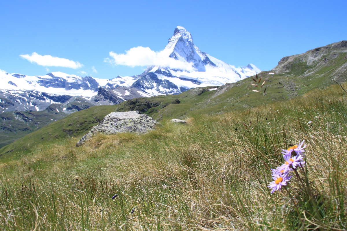
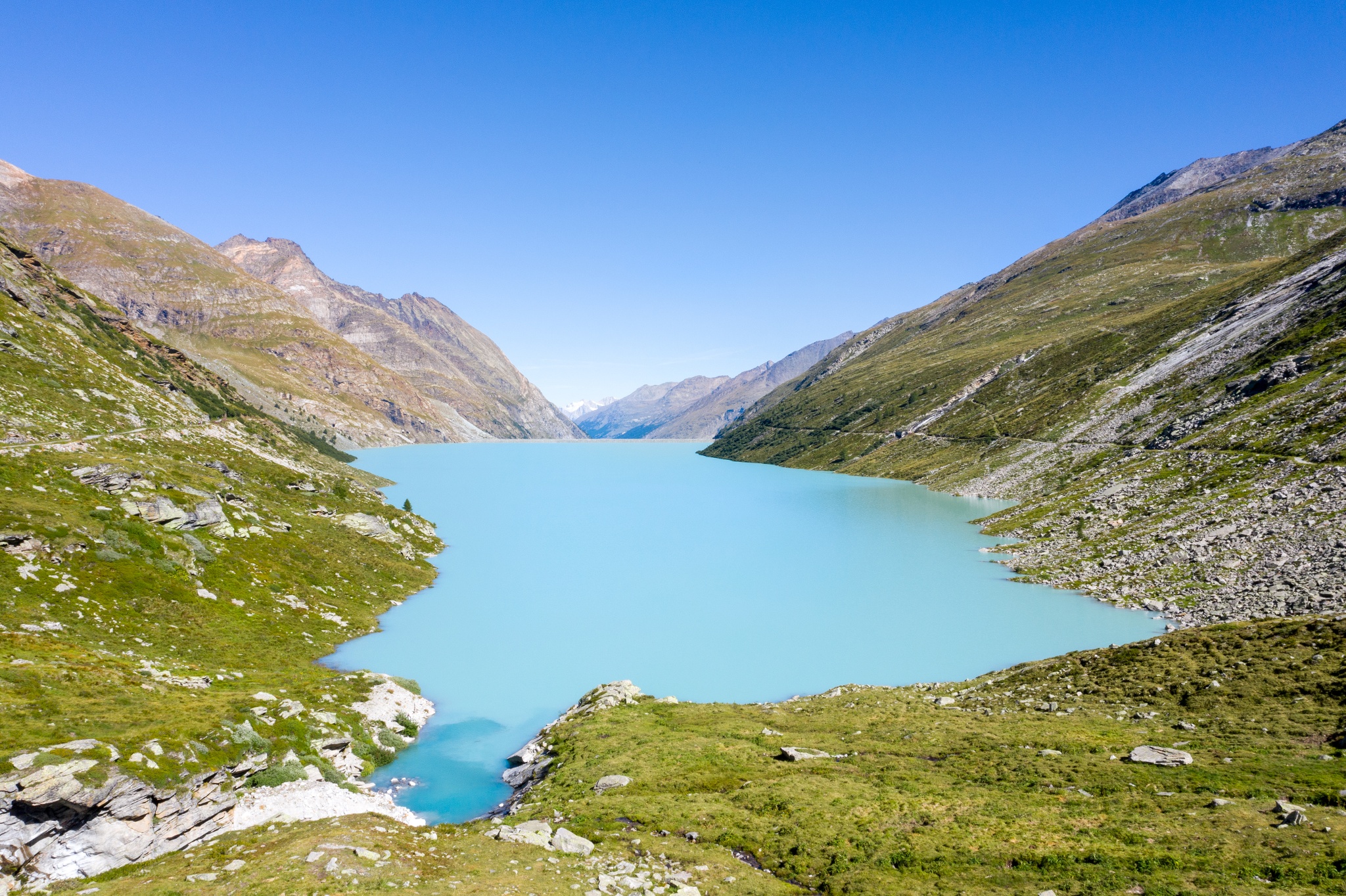
Nice walk around the Mattmark reservoir, located very close to Saas-Almagell. The course goes around this lake, exploited by Kraftwerke Mattmark AG to produce energy, and offers very beautiful views of the latter. In short, a short family outing that is worth the detour.

Already more than 200,000 users!
Uphill
169m
Highest point
2286m
Downhill
169m
Lowest point
2187m
Route type
Loop
Download the map on your smartphone to save battery and rest assured to always keep access to the route, even without signal.
Includes IGN France and Swisstopo.
I indicate whether dogs are allowed or prohibited on this trail
From May to September
0 ratings
Also enjoy:

Already more than 200,000 users!