Uphill
130m
Length
6km
Duration
2h
Elev gain
130m
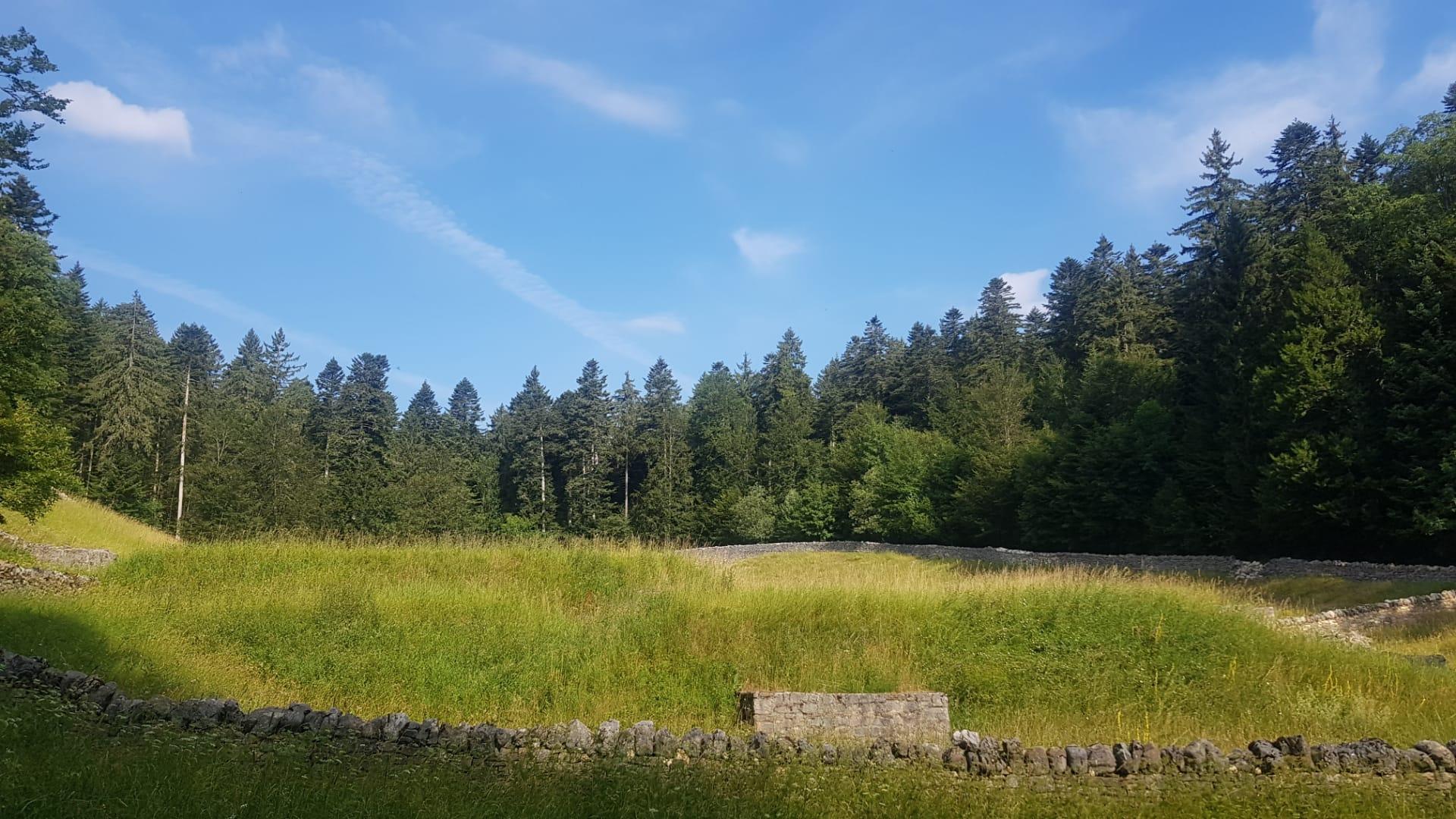
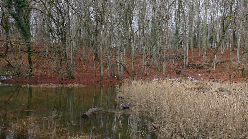
Here is a nice walk to discover the Bois de Chênes, a nature reserve nestled between the municipalities of Genolier and Vich. The route goes around the reserve on a natural and wild path, which does not present any particular difficulty.

Already more than 200,000 users!
Uphill
130m
Highest point
593m
Downhill
130m
Lowest point
492m
Route type
Loop
Download the map on your smartphone to save battery and rest assured to always keep access to the route, even without signal.
Includes IGN France and Swisstopo.
I indicate whether dogs are allowed or prohibited on this trail
All year
1 rating
It’s a little tricky to find based on the App directions, and I think there’s more convenient parking near to the actual hike. We had to walk along roads for some of the hike which is not ideal.
I would recommend driving past the hike route before deciding on parking up. The actual hike is ok, but there are certainly more scenic places nearby.
Also enjoy:

Already more than 200,000 users!