Uphill
430m
Length
12km
Duration
4h
Elev gain
430m
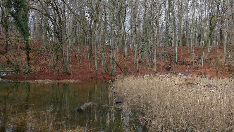
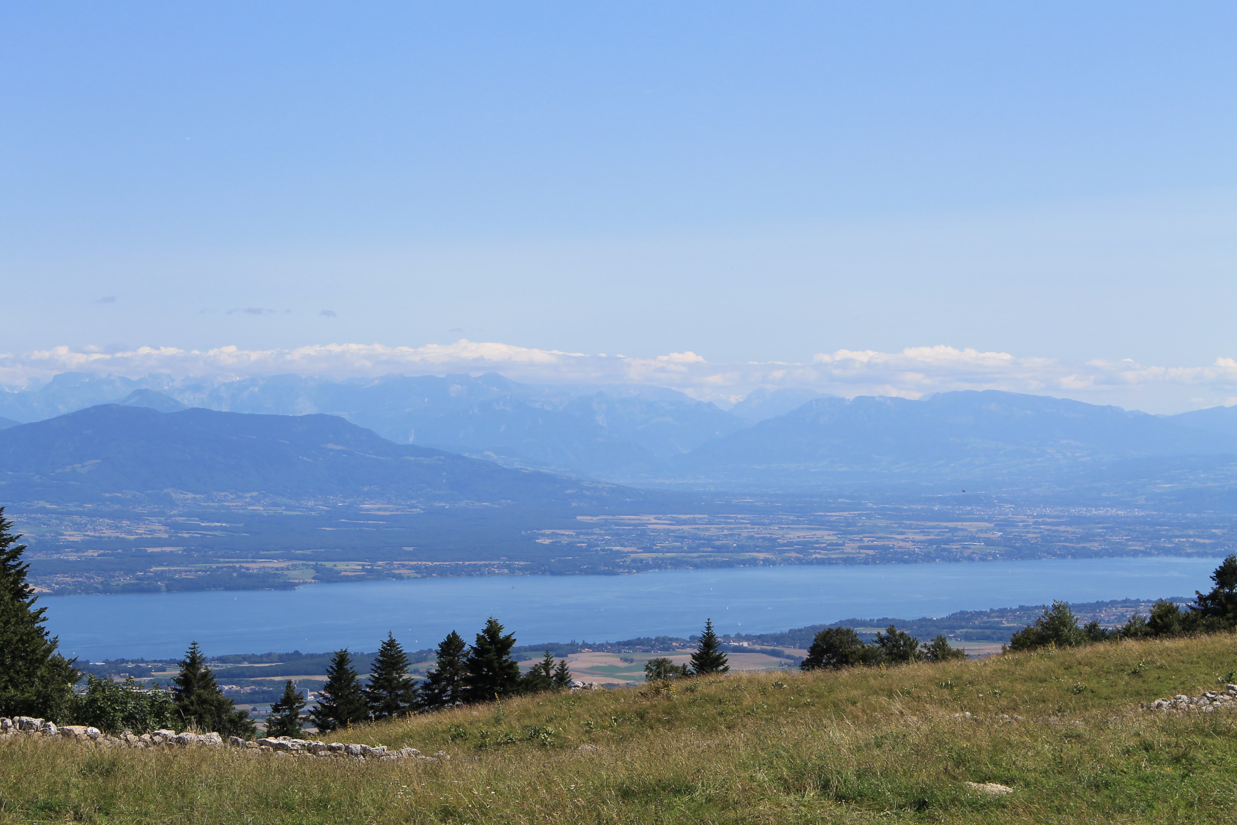
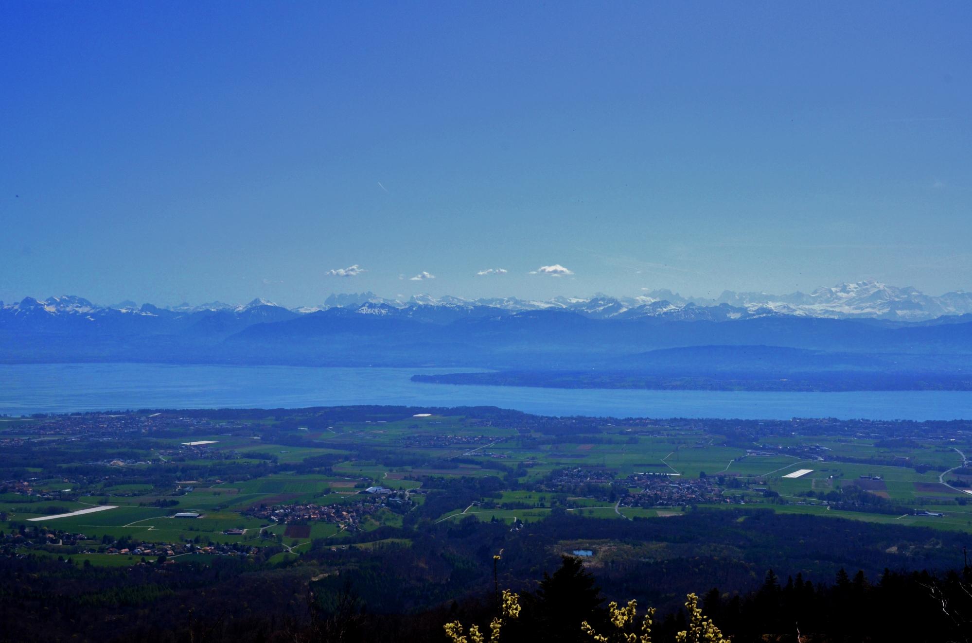
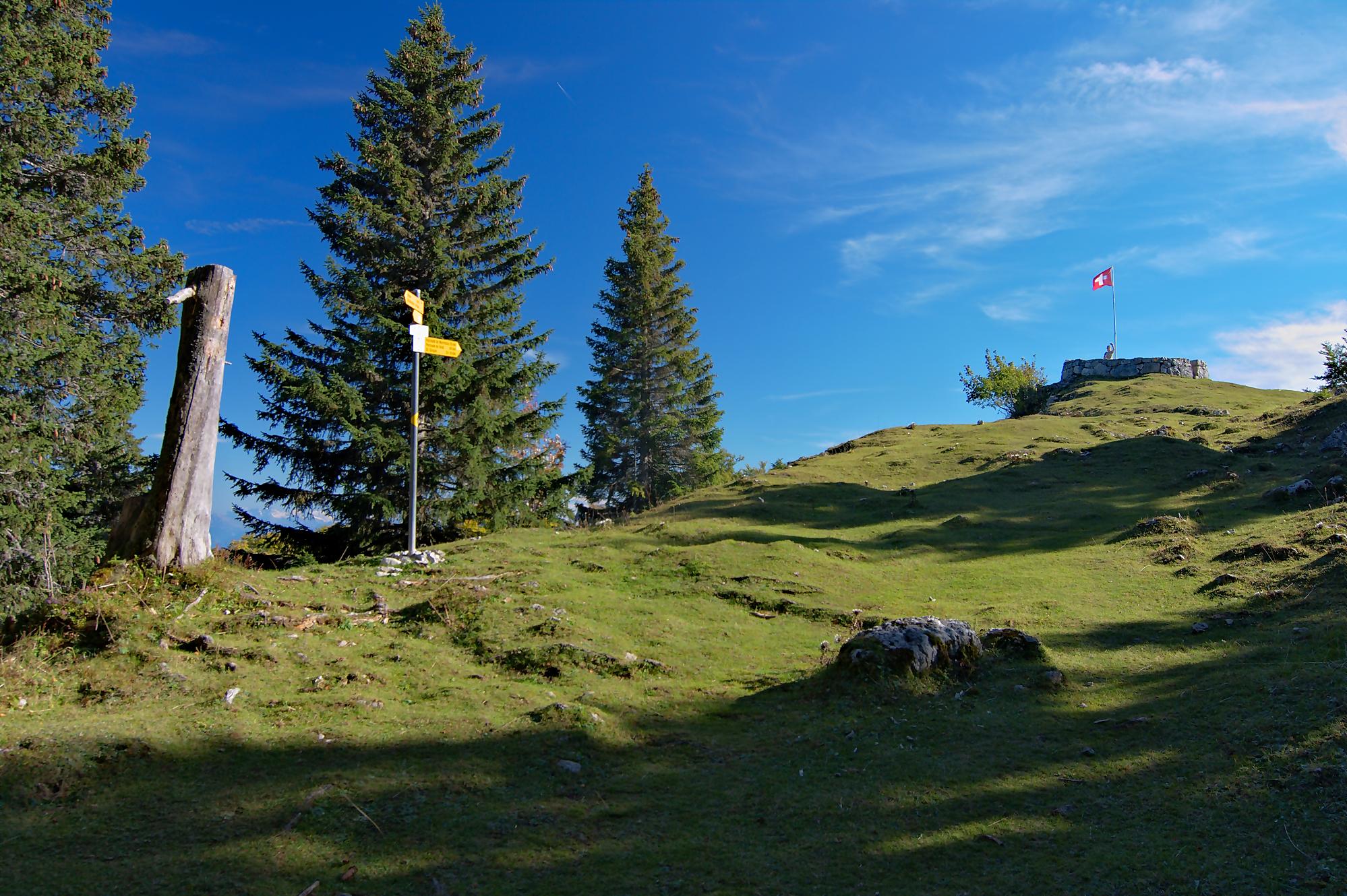
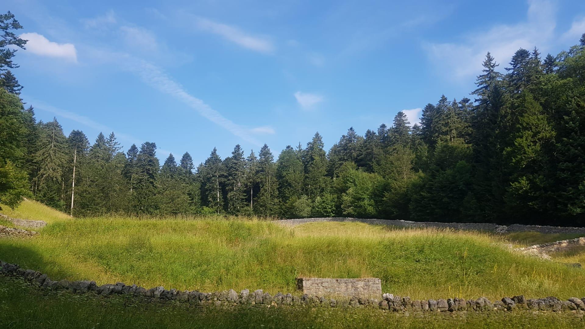
Leaving from Arzier, this lovely walk explores the ruins of Oujon. Essentially in the forest, this route passes through the ruins of the former Charterhouse of Notre-Dame d'Oujon, in the heart of the Jura vaudois regional natural park.

Already more than 200,000 users!
Uphill
430m
Highest point
1166m
Downhill
430m
Lowest point
844m
Route type
Loop
Download the map on your smartphone to save battery and rest assured to always keep access to the route, even without signal.
Includes IGN France and Swisstopo.
I indicate whether dogs are allowed or prohibited on this trail
Can be difficult in Winter
0 ratings
Also enjoy:

Already more than 200,000 users!