Uphill
517m

Length
15km
Duration
5h
Elev gain
517m
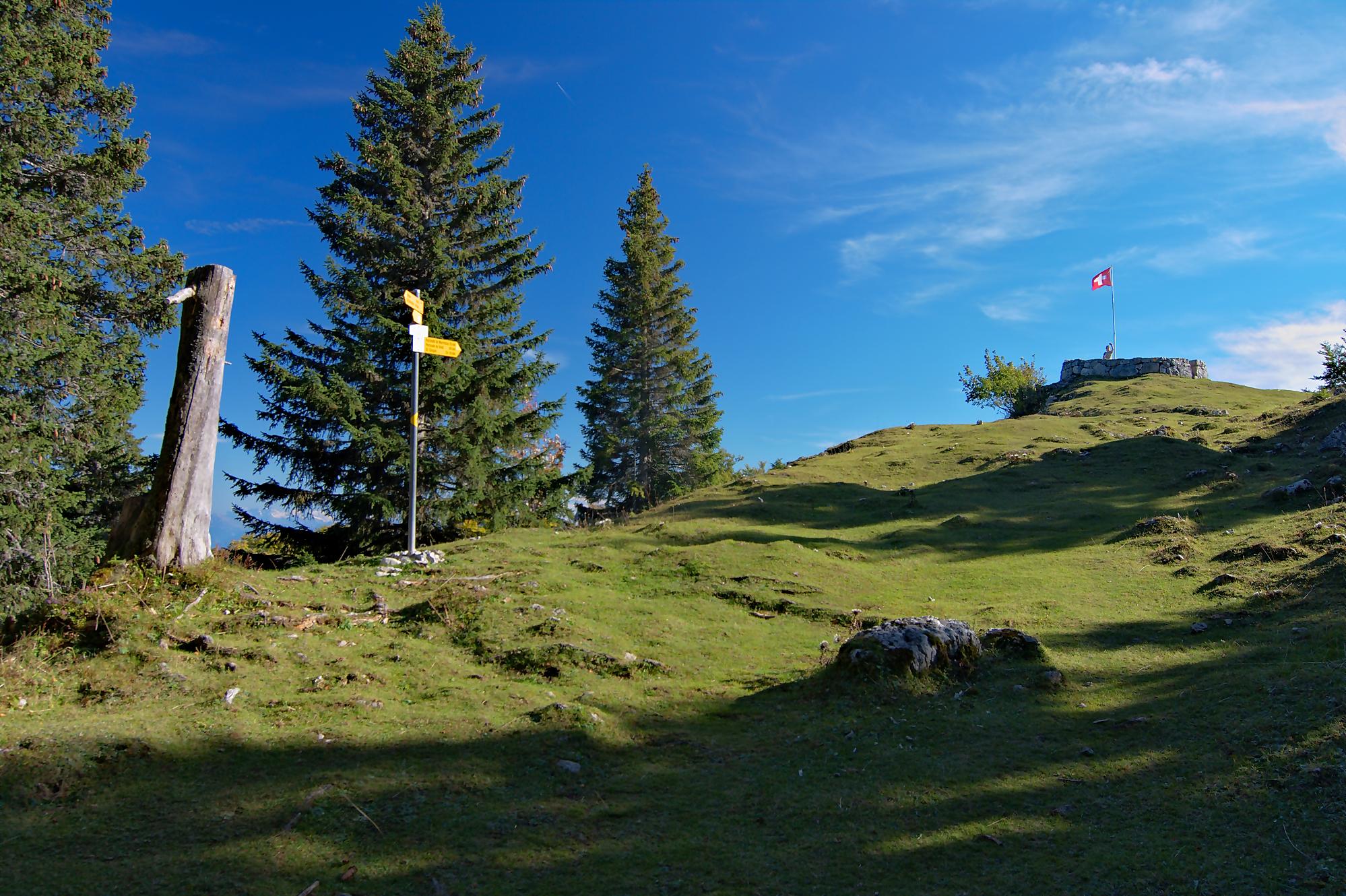
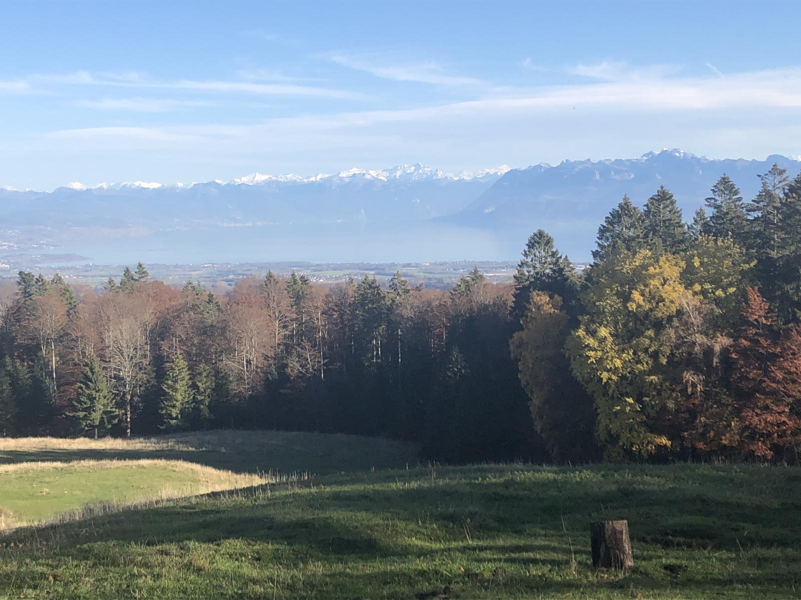
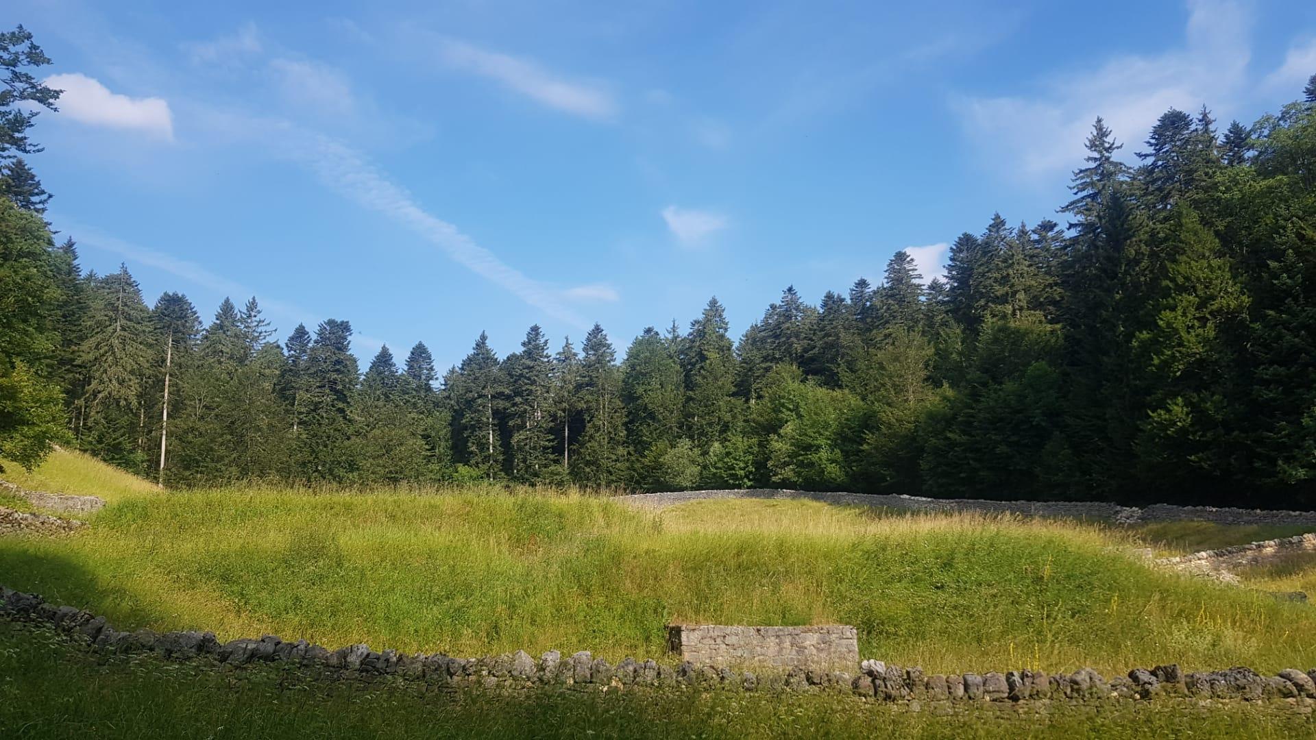
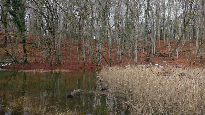
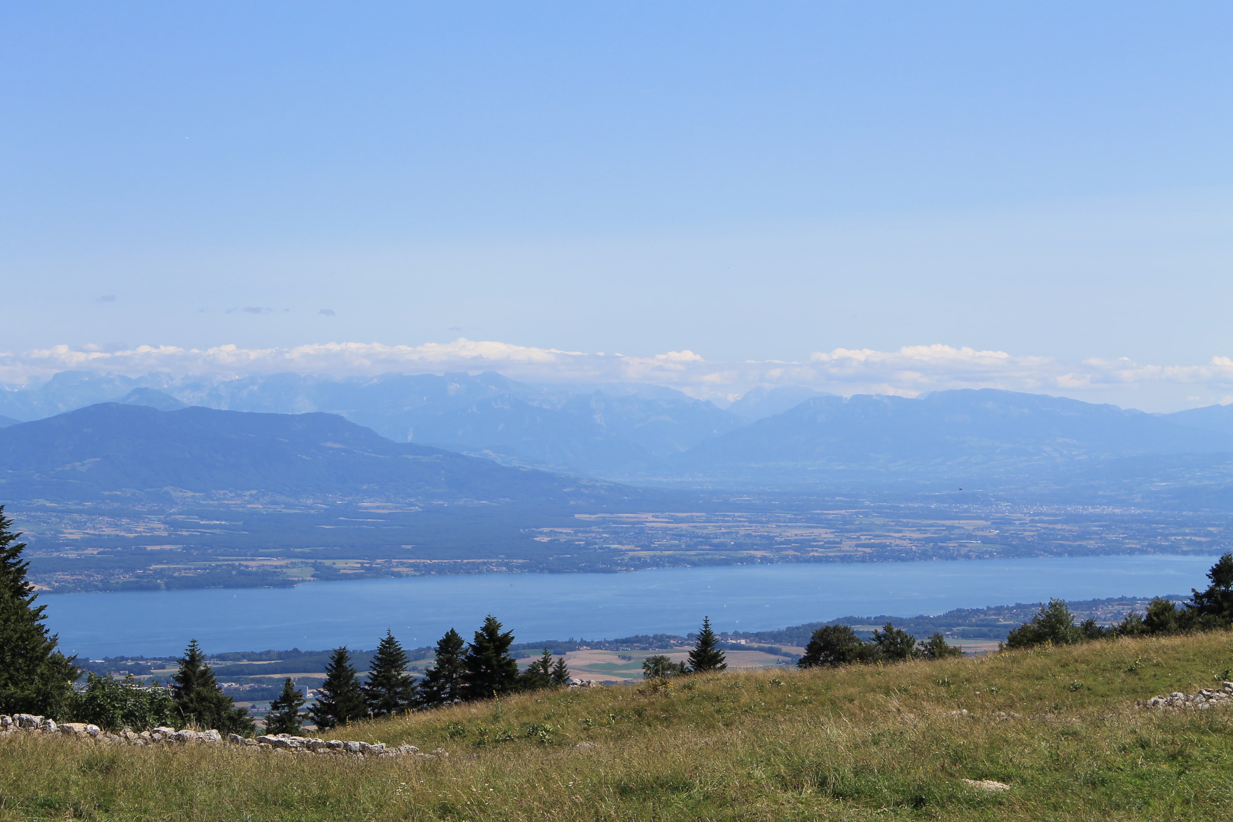
Nice hike to attack Mont Tendre. Departing from the Hotel du Marchairuz, this route alternates between forest and pastures until you reach Mont Tendre and its magnificent view of Lake Geneva. The return to the starting point is via the Grand Cunay.
On arrival, it is strongly recommended to taste the delicious regional dishes served by the Hôtel du Marchairuz.

Already more than 200,000 users!
Uphill
517m
Highest point
1679m
Downhill
517m
Lowest point
1395m
Route type
There and back
Download the map on your smartphone to save battery and rest assured to always keep access to the route, even without signal.
Includes IGN France and Swisstopo.
I indicate whether dogs are allowed or prohibited on this trail
From May to October
1 rating
Also enjoy:

Already more than 200,000 users!