Uphill
308m
Length
8km
Duration
3h
Elev gain
308m
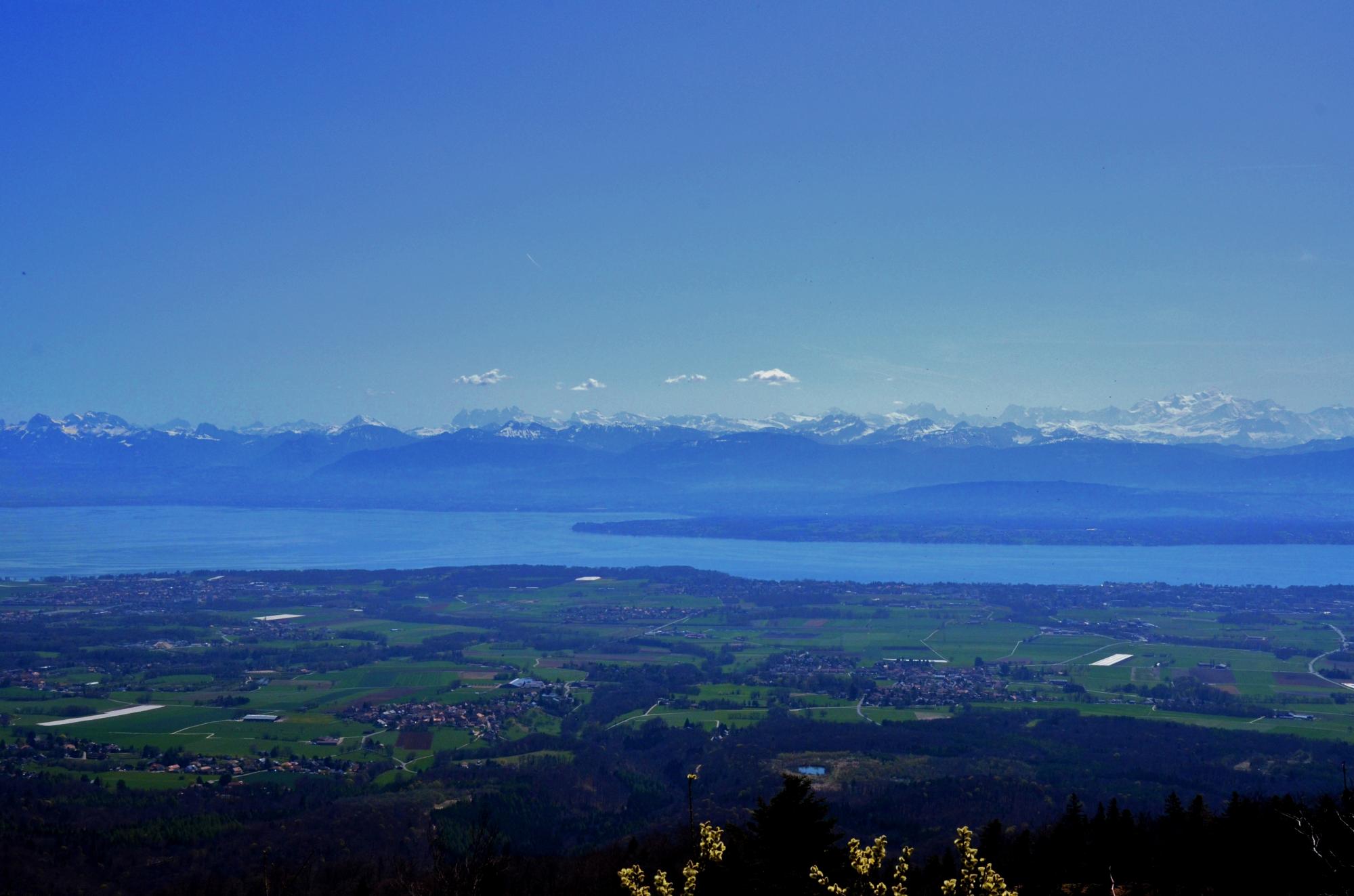
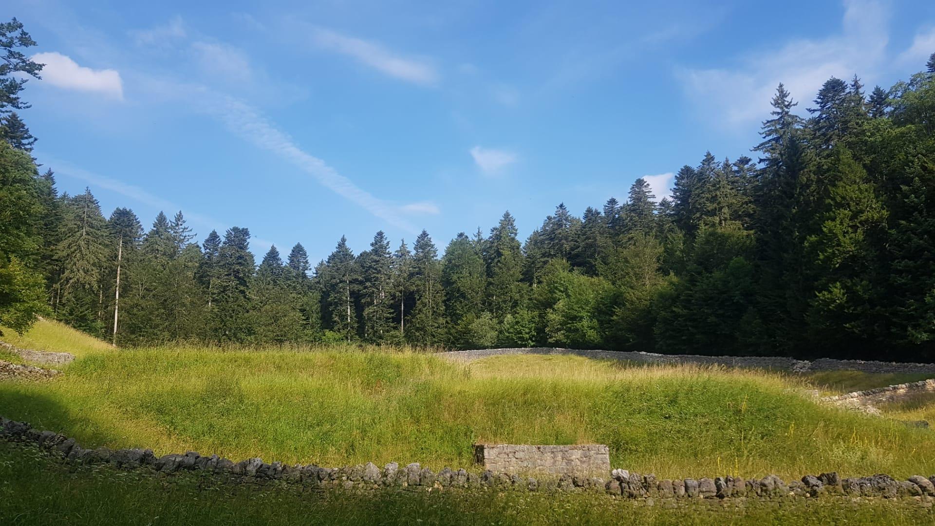
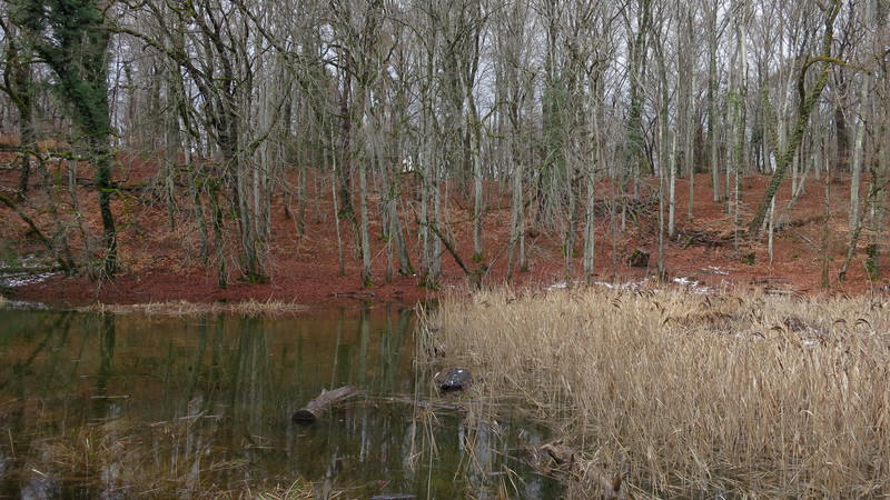
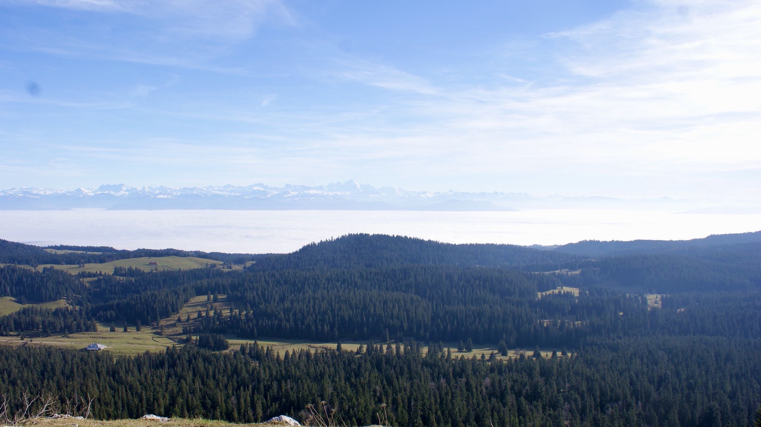
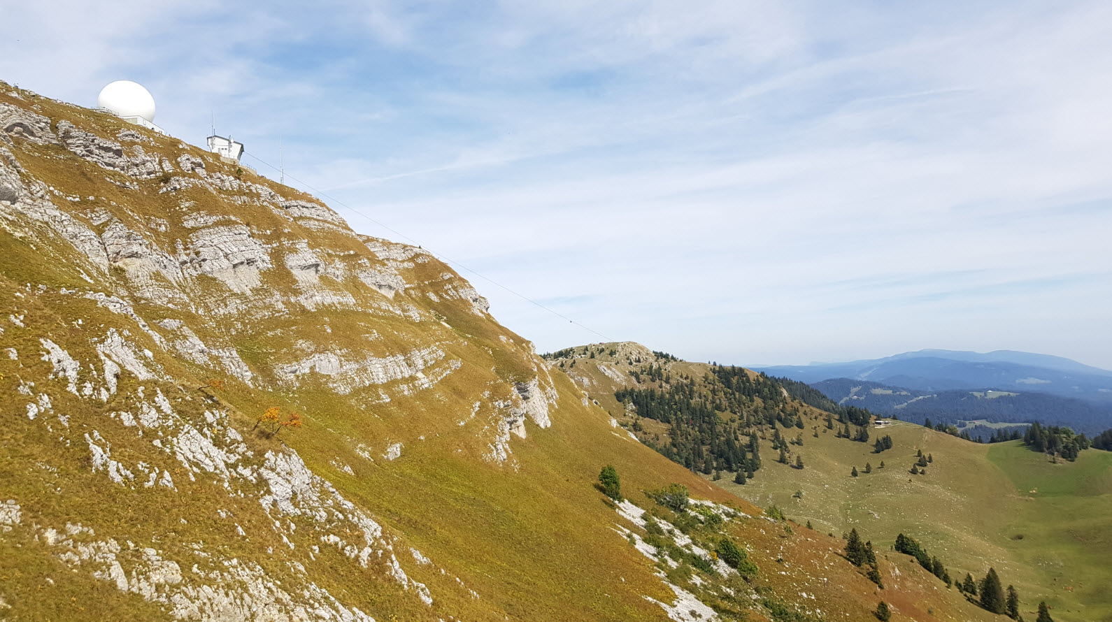
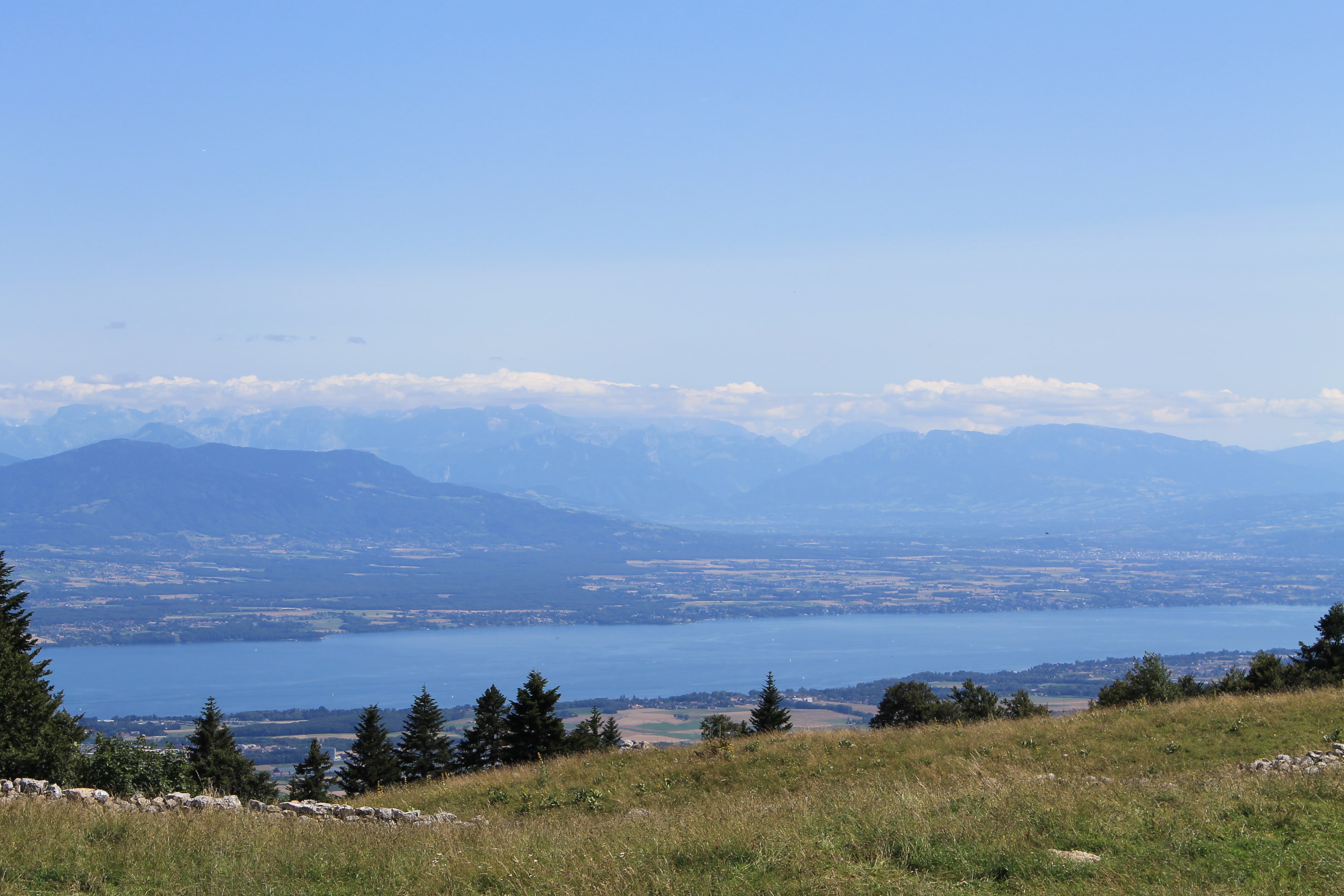
Here is a superb hike around the Fruitières de Nyon, a chalet located more than 1,300 meters above sea level. The route makes a loop on a path alternating between forest and mountain pastures, and offers superb views of the Alps and the magnificent Lake Geneva.

Already more than 200,000 users!
Uphill
308m
Highest point
1340m
Downhill
308m
Lowest point
1047m
Route type
Loop
Download the map on your smartphone to save battery and rest assured to always keep access to the route, even without signal.
Includes IGN France and Swisstopo.
I indicate whether dogs are allowed or prohibited on this trail
Can be difficult in Winter
4 ratings
Super, arrivée à la fruitiere, je conseille le raccourci à gauche vers lea tables, balade dans les bois, et non sur la route
This a fantastic app! Thanks
Doing
Also enjoy:

Already more than 200,000 users!