Uphill
374m
Length
7km
Duration
3h
Elev gain
374m
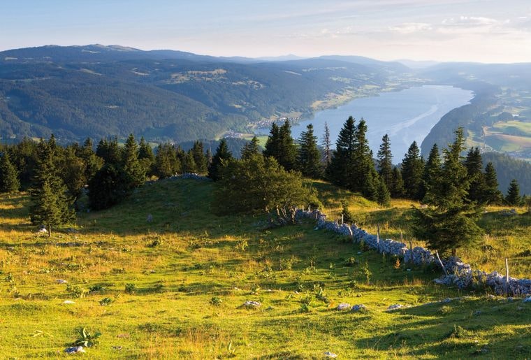
Ascent of a summit with an atypical shape, with a steep northern face and a gently sloping southern slope. The arrival offers a view of no less than seven lakes, including Neuchâtel, Brenet, Joux and Léman.

Already more than 200,000 users!
Uphill
374m
Highest point
1480m
Downhill
374m
Lowest point
1102m
Route type
Loop
Download the map on your smartphone to save battery and rest assured to always keep access to the route, even without signal.
Includes IGN France and Swisstopo.
I indicate whether dogs are allowed or prohibited on this trail
Can be difficult in Winter
0 ratings
Also enjoy:

Already more than 200,000 users!


