Uphill
319m
Length
22km
Duration
6h30min
Elev gain
319m
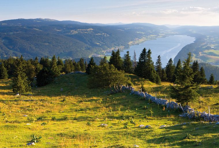
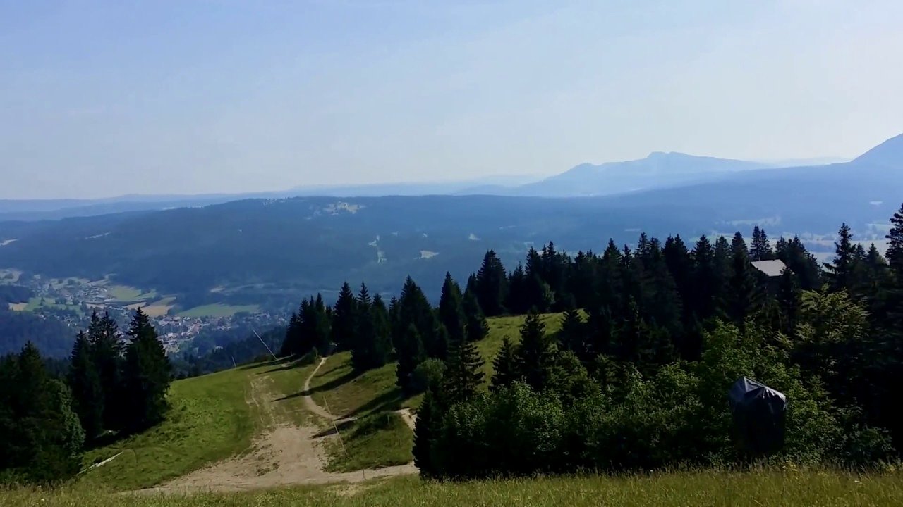
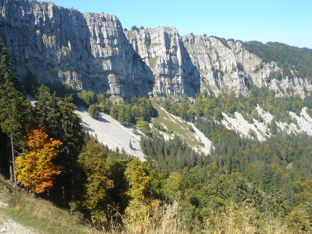
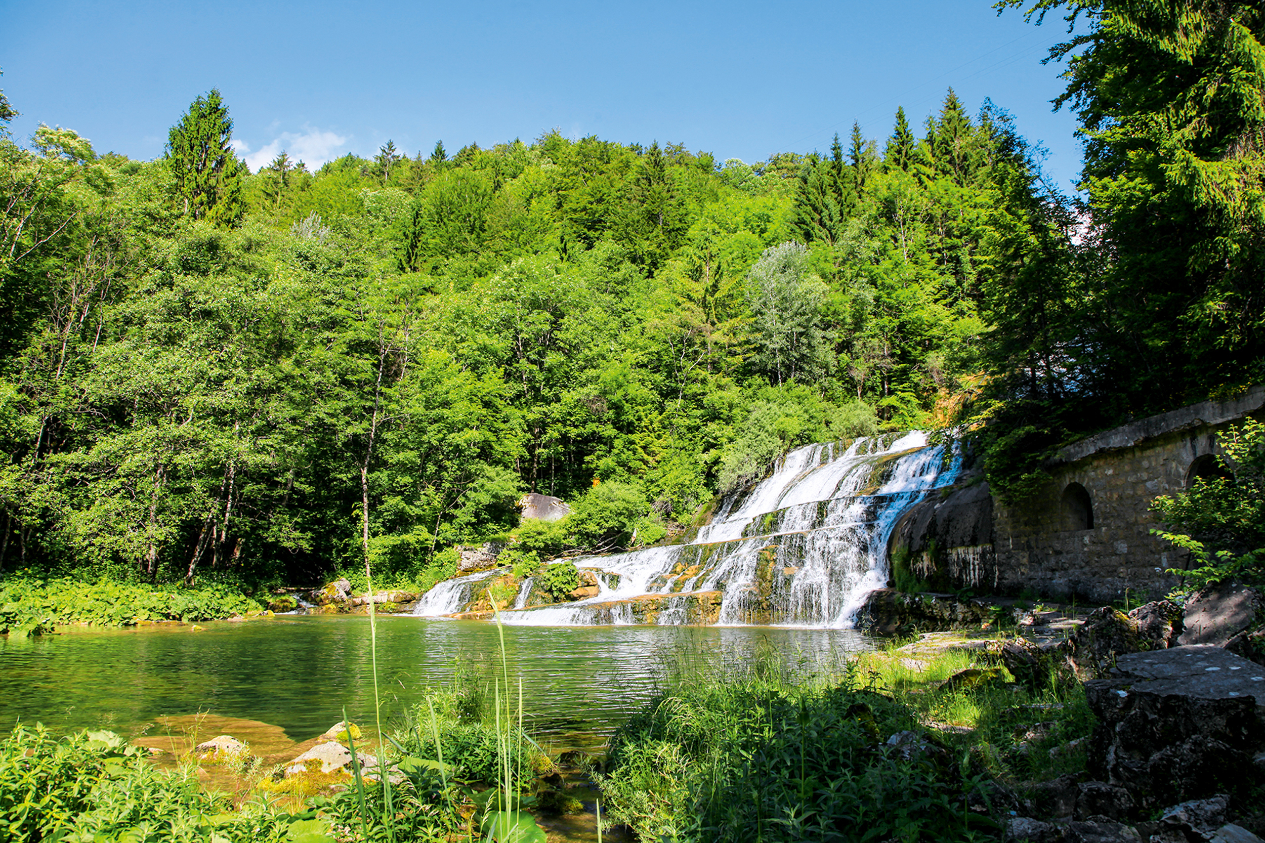
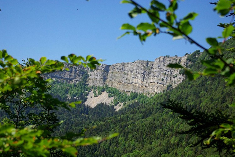
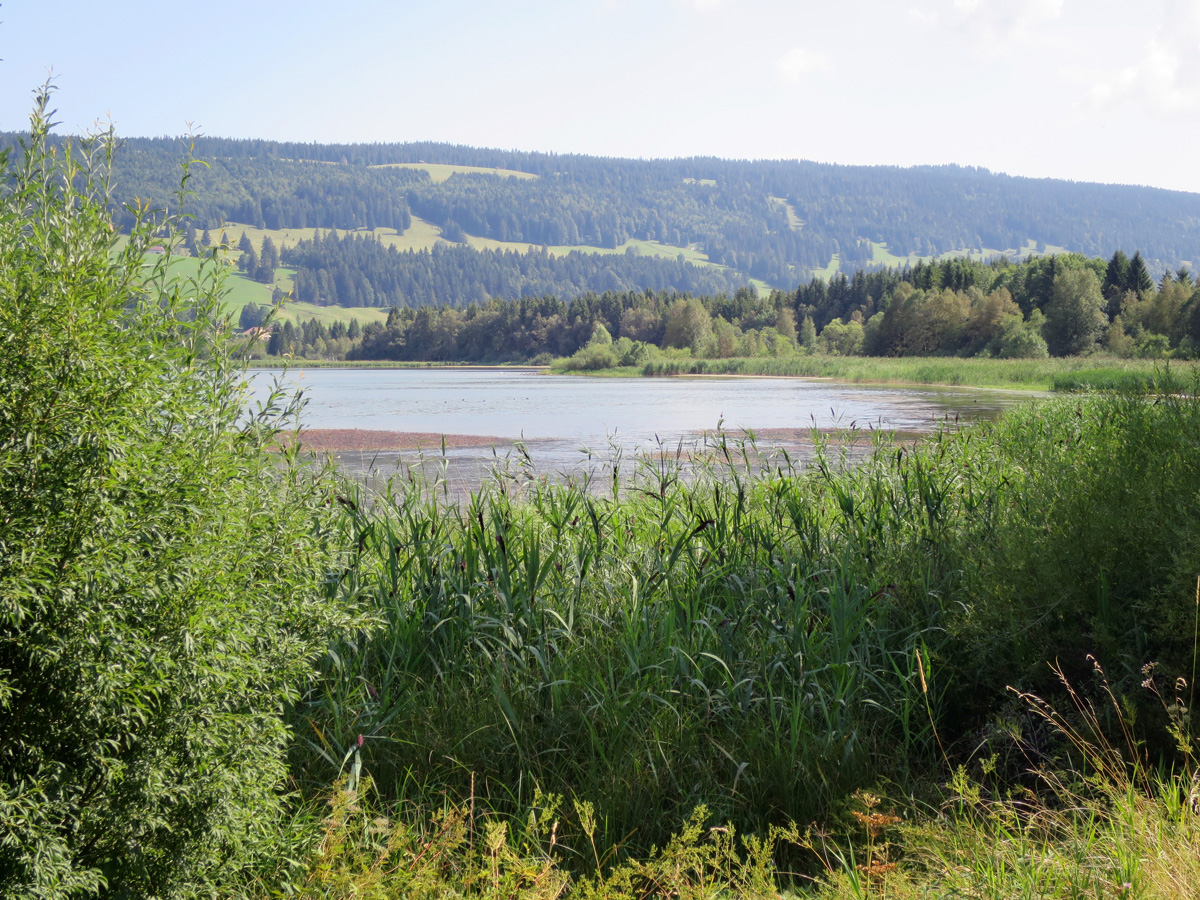
Here is a superb walk around the Lac de Joux. The route is initially steep and overlooks the lake, before softening and getting closer to the water. Between passages in the forest or by magnificent beaches, this path offers beautiful views all along.
Note that the route of this pretty hike is quite flexible since you can do, if you wish, only part of the route and return to the starting point by public transport.

Already more than 200,000 users!
Uphill
319m
Highest point
1100m
Downhill
319m
Lowest point
987m
Route type
Loop
Download the map on your smartphone to save battery and rest assured to always keep access to the route, even without signal.
Includes IGN France and Swisstopo.
I indicate whether dogs are allowed or prohibited on this trail
Can be difficult in Winter
0 ratings
Also enjoy:

Already more than 200,000 users!