Uphill
862m
Length
13km
Duration
6h
Elev gain
862m
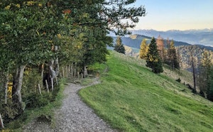
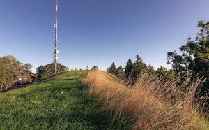
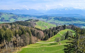
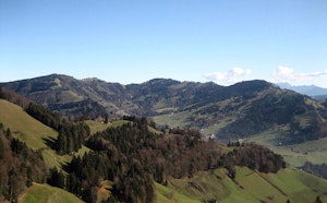
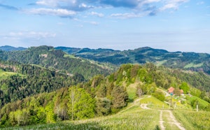
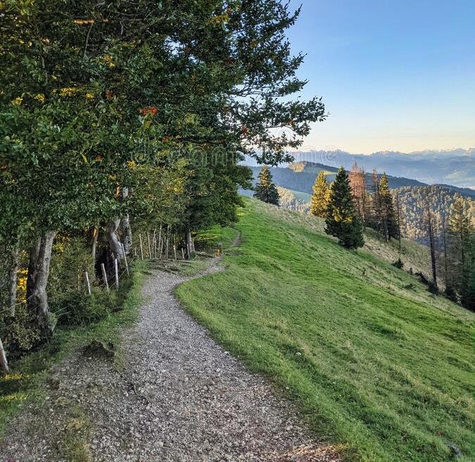
Departing from Altschwändi, this hike climbs to the highest point in the canton of Zürich, the Schnebelhorn, located at 1,293 meters. The route makes a loop, alternates between woods and meadows and then returns to the starting point, along the Töss.

Already more than 200,000 users!
Uphill
862m
Highest point
1263m
Downhill
862m
Lowest point
716m
Route type
Loop
Download the map on your smartphone to save battery and rest assured to always keep access to the route, even without signal.
Includes IGN France and Swisstopo.
I indicate whether dogs are allowed or prohibited on this trail
Can be difficult in Winter
0 ratings
Also enjoy:

Already more than 200,000 users!