Uphill
636m
Length
12km
Duration
5h
Elev gain
636m
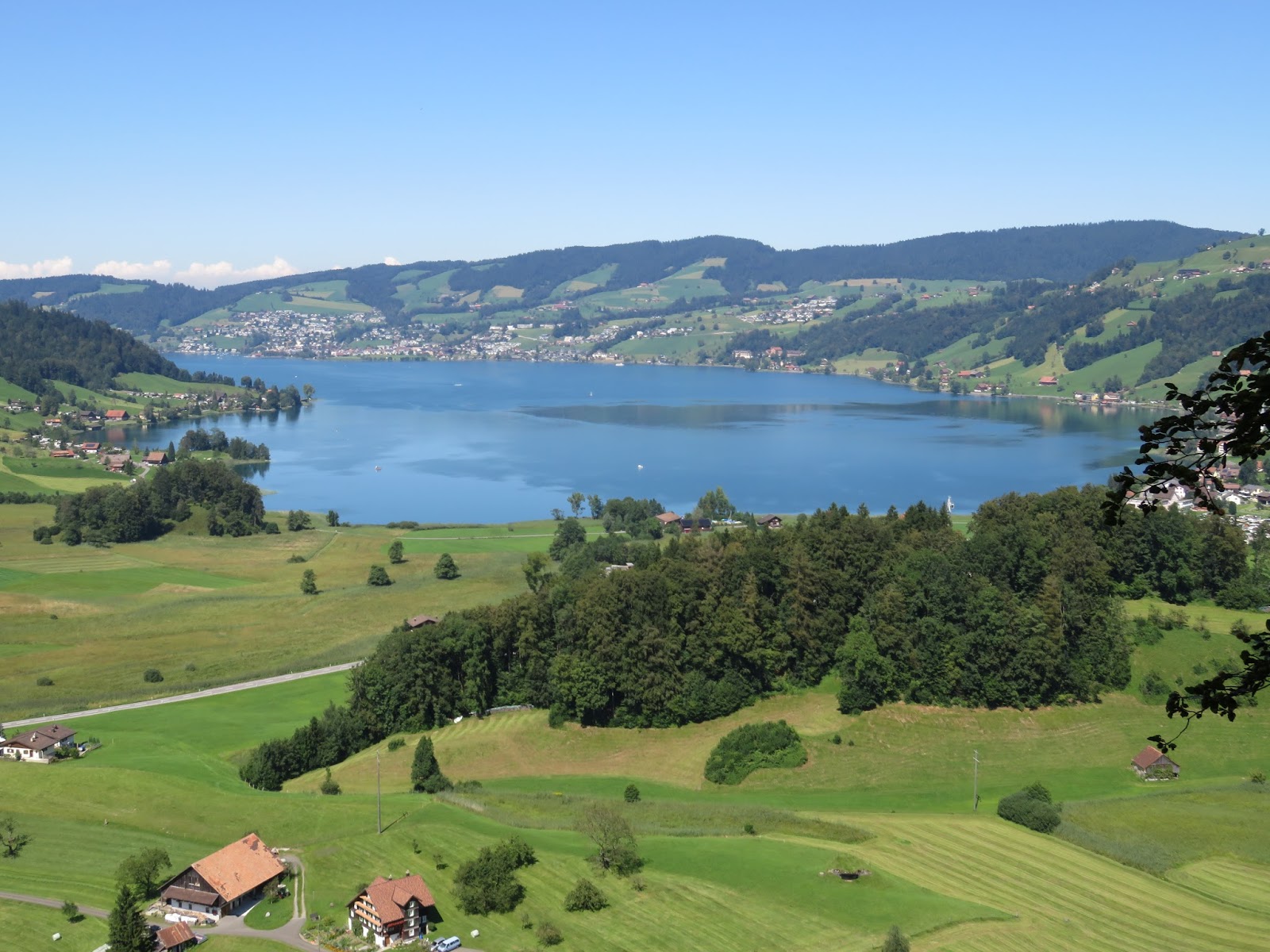
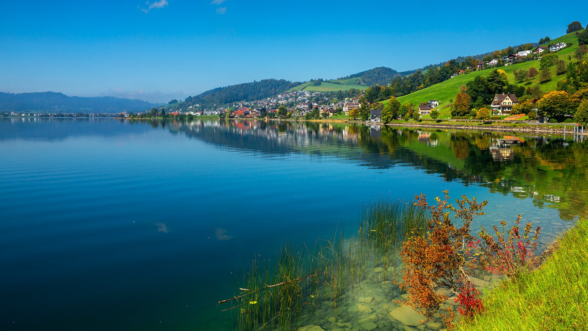
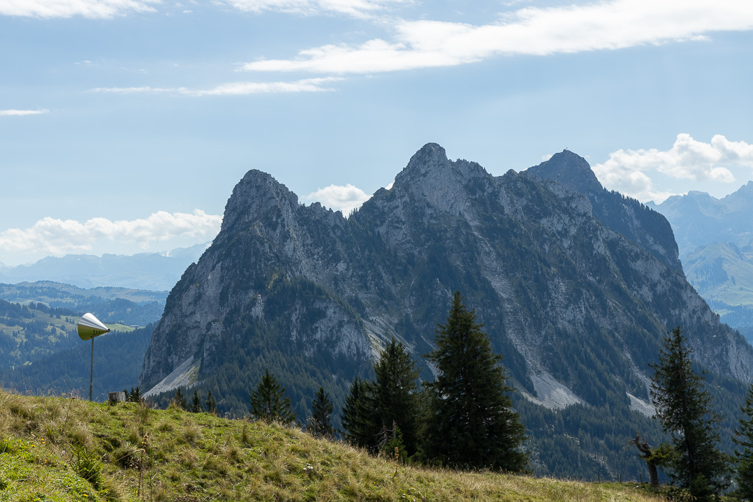
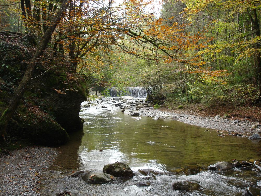
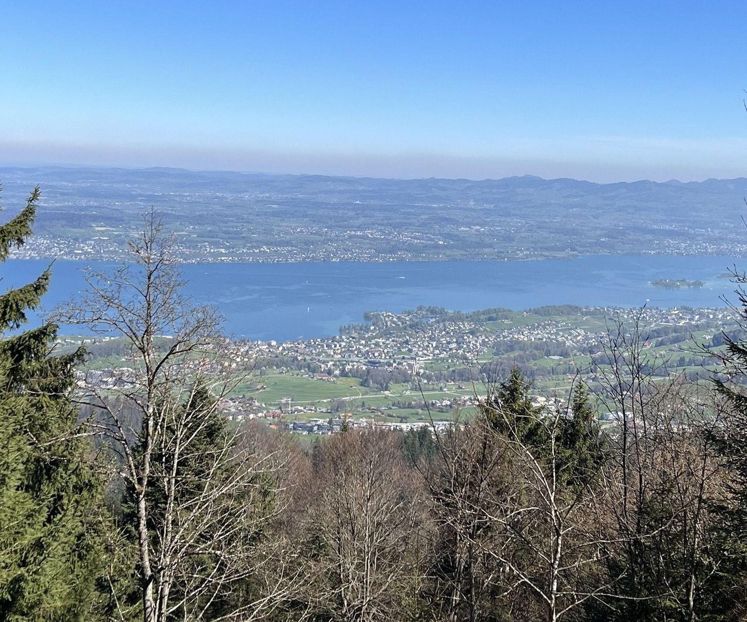
Departing from Hütten, this route takes on the Wildspitz. This small summit, located at 1,205 meters above sea level, offers a nice view of the surroundings and in particular of Lake Zürich. Once at the top, the route continues and takes the direction of the starting point to close this superb hike.

Already more than 200,000 users!
Uphill
636m
Highest point
1227m
Downhill
636m
Lowest point
698m
Route type
Loop
Download the map on your smartphone to save battery and rest assured to always keep access to the route, even without signal.
Includes IGN France and Swisstopo.
I indicate whether dogs are allowed or prohibited on this trail
Can be difficult in Winter
0 ratings
Also enjoy:

Already more than 200,000 users!