Uphill
251m

Length
6km
Duration
2h30min
Elev gain
251m
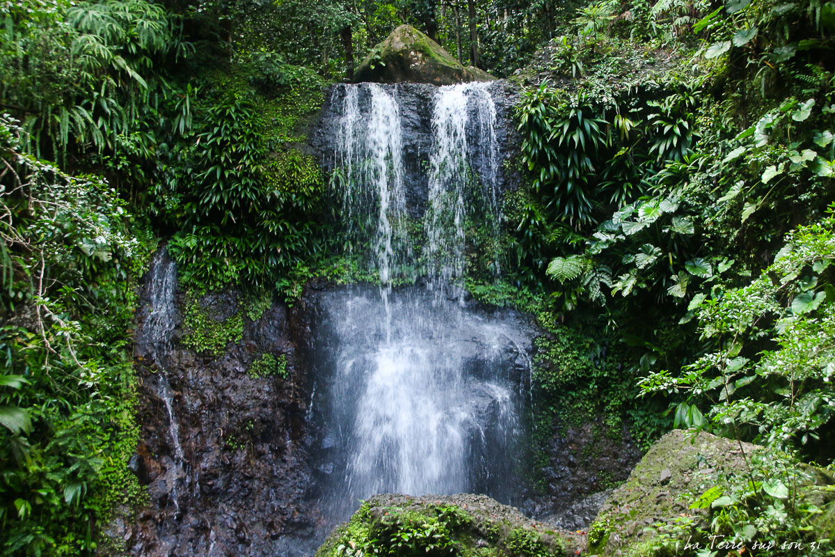
This is a lovely there-and-back trail to Lost Lake following the Hessie Trail in Roosevelt National Forest, Colorado. The trail is moderate, with a very low uphill gradient to reach the lake following along a well-maintained footpath, where there can be snow even in summer. The trail is rich with wildlife and hikers should keep an eye out for moose. The views are lovely all around and Lost Lake is a beautiful clear mountain lake that makes for the perfect resting spot before turning back.

Already more than 200,000 users!
Uphill
251m
Highest point
2995m
Downhill
251m
Lowest point
2740m
Route type
There and back
Download the map on your smartphone to save battery and rest assured to always keep access to the route, even without signal.
Includes IGN France and Swisstopo.
I indicate whether dogs are allowed or prohibited on this trail
All year
0 ratings
Also enjoy:

Already more than 200,000 users!