Uphill
815m
Length
12km
Duration
6h
Elev gain
815m
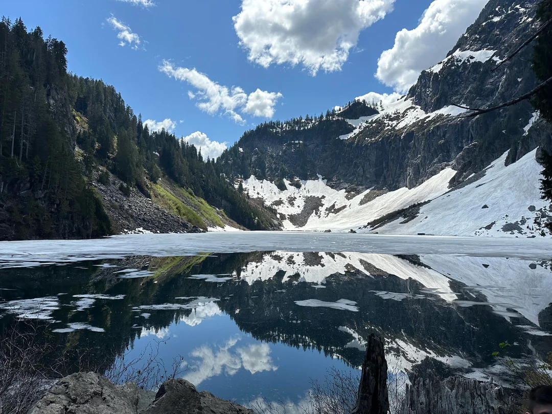
This is a great there-and-back to reach Lake Serene, passing Bridal Veil Falls and Lunch Rock on the way in the Mount Baker Snoqualmie National Forest, Washington. The trail is challenging with a descent uphill gradient and some steep passages as well as some stair sections. The natural beauty of Lake Serene makes the effort well-worth it and hikers will be delighted by the vibrant flora and fauna along the way.

Already more than 200,000 users!
Uphill
815m
Highest point
813m
Downhill
815m
Lowest point
180m
Route type
There and back
Download the map on your smartphone to save battery and rest assured to always keep access to the route, even without signal.
Includes IGN France and Swisstopo.
I indicate whether dogs are allowed or prohibited on this trail
All year
0 ratings
Also enjoy:

Already more than 200,000 users!