Uphill
343m
Length
6km
Duration
2h30min
Elev gain
343m
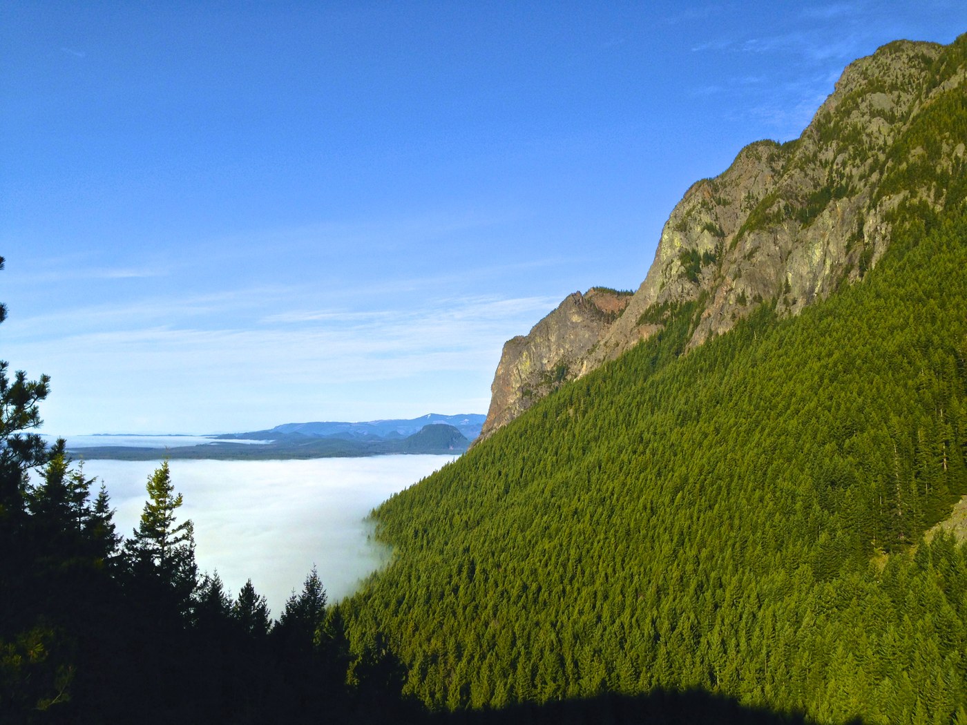
On the edge of Tanner, this is a great there-and-back trail to the top of Little Si in Mount Si Natural Resources Conservation Area, Washington. The trail is moderate, initially quite steep, the uphill then mellows out to a more gradual one. The views are lovely and far-reaching over the Snoqualmie Valley and Rattlesnake Mountain.

Already more than 200,000 users!
Uphill
343m
Highest point
475m
Downhill
343m
Lowest point
153m
Route type
There and back
Download the map on your smartphone to save battery and rest assured to always keep access to the route, even without signal.
Includes IGN France and Swisstopo.
I indicate whether dogs are allowed or prohibited on this trail
All year
0 ratings
Also enjoy:

Already more than 200,000 users!