Uphill
1059m
Length
13km
Duration
7h
Elev gain
1059m
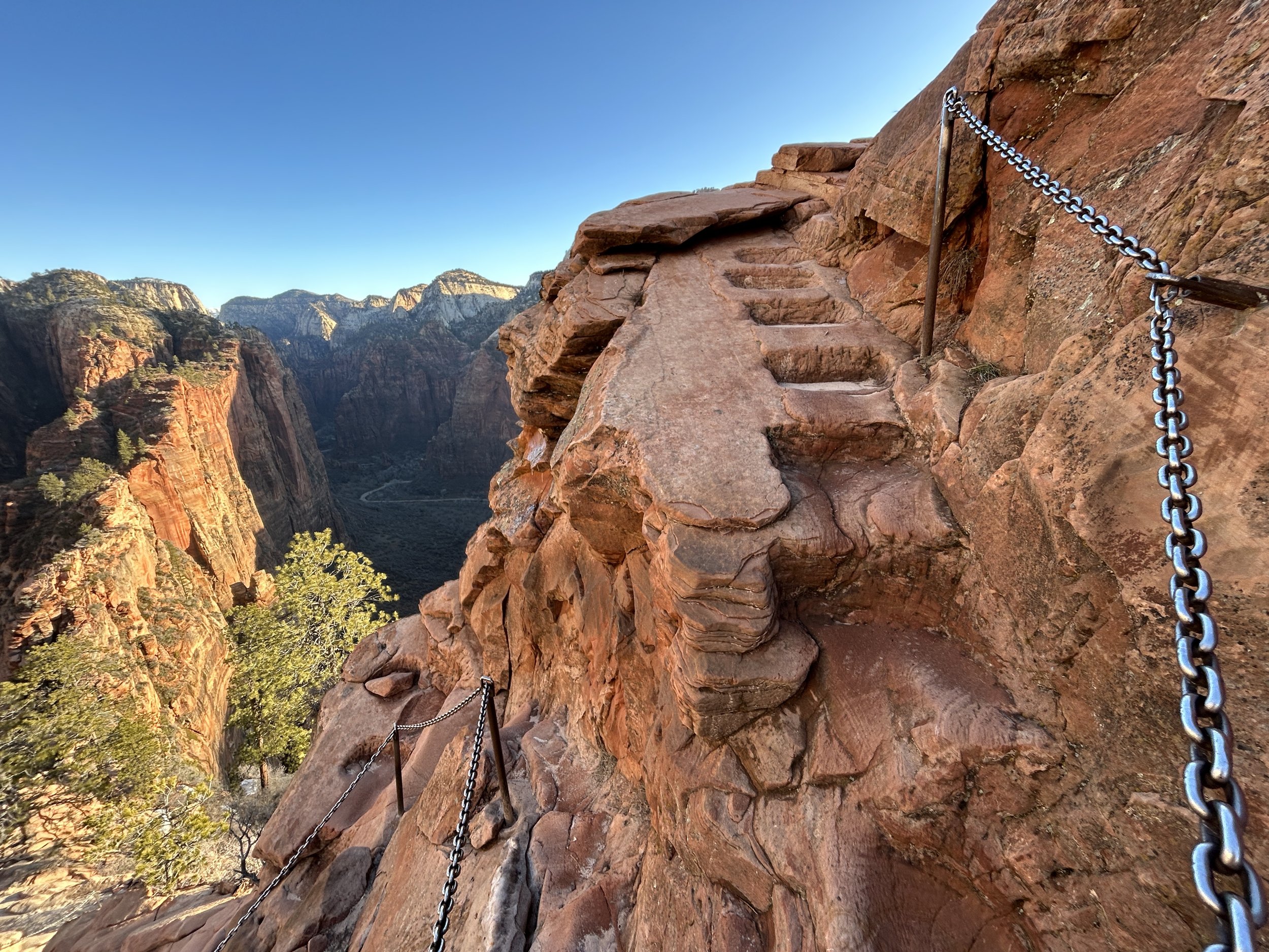
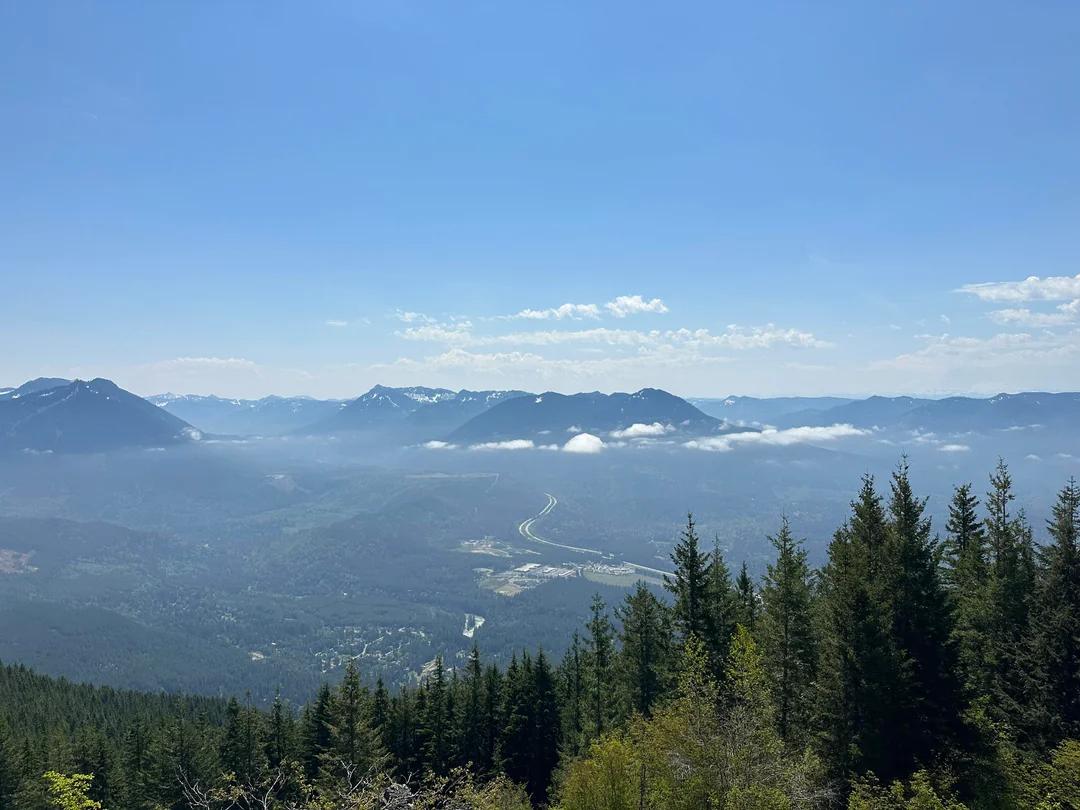
Under an hour from Seattle, This is a great there-and-back trail to summit Mount Si Trail in the Mount Si Natural Resources Conservation Area, Washington. The trail is difficult with a steady and relatively steep climb, with regular switchbacks all the way to the summit. The pristine natural beauty is a treat throughout the walk with open panoramas, woodland passages and gorgeous views on the Snoqualmie River Valley.

Already more than 200,000 users!
Uphill
1059m
Highest point
1263m
Downhill
1059m
Lowest point
202m
Route type
There and back
Download the map on your smartphone to save battery and rest assured to always keep access to the route, even without signal.
Includes IGN France and Swisstopo.
I indicate whether dogs are allowed or prohibited on this trail
All year
0 ratings
Also enjoy:

Already more than 200,000 users!