Uphill
498m
Length
7km
Duration
3h30min
Elev gain
498m
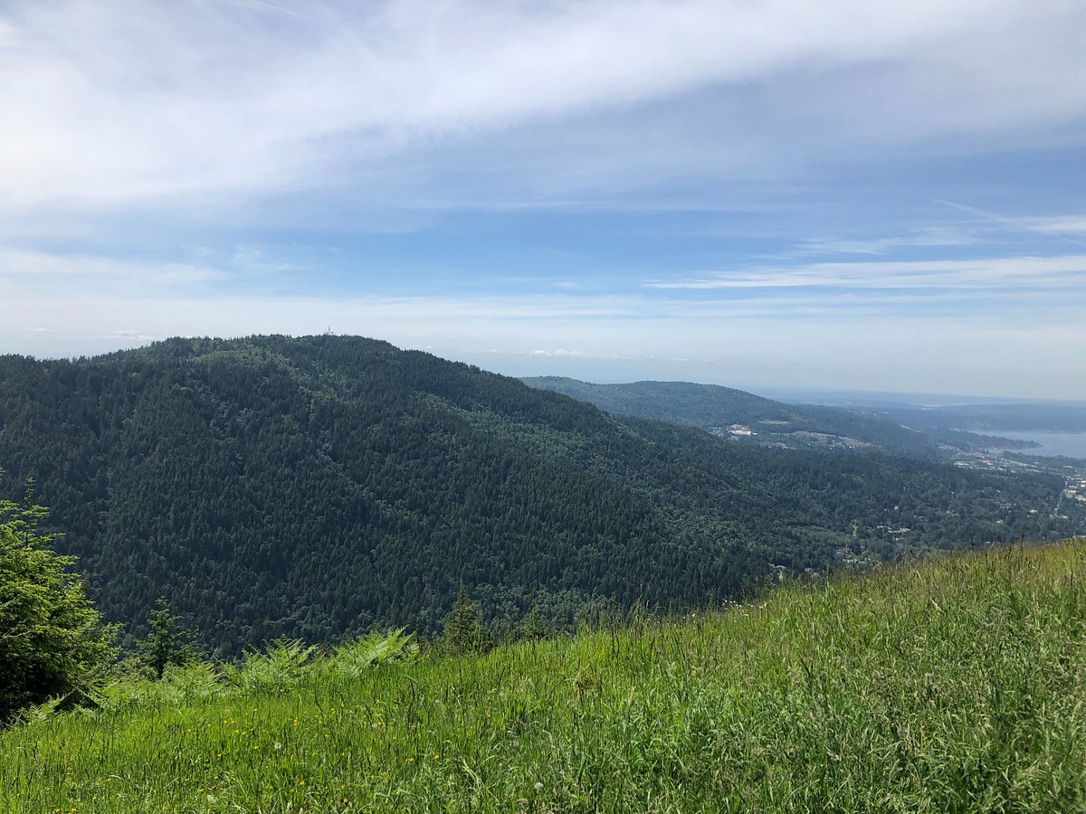
This is a great there-and-back trail along the Chirico Trail to reach Poo Poo Point in the West Tiger Mountain Natural Resource Conservation Area, Washington. The trail is on the more difficult side of moderate following a good uphill climb to reach the beautiful views at the top and if the weather is good on Mount Rainier in the distance as well. The walk is tranquil as the trail meanders through the trees.

Already more than 200,000 users!
Uphill
498m
Highest point
555m
Downhill
498m
Lowest point
54m
Route type
There and back
Download the map on your smartphone to save battery and rest assured to always keep access to the route, even without signal.
Includes IGN France and Swisstopo.
I indicate whether dogs are allowed or prohibited on this trail
All year
0 ratings
Also enjoy:

Already more than 200,000 users!