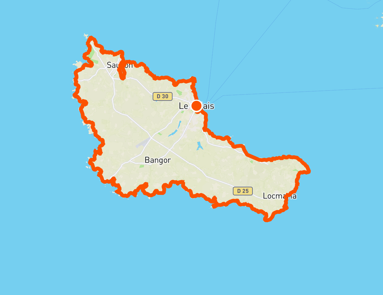
Around Belle-Ile
The tour of Belle-Île, also known as the GR340, was voted France's favorite GR in a vote organized by the French Hiking Federation in 2022. And how could it be otherwise?
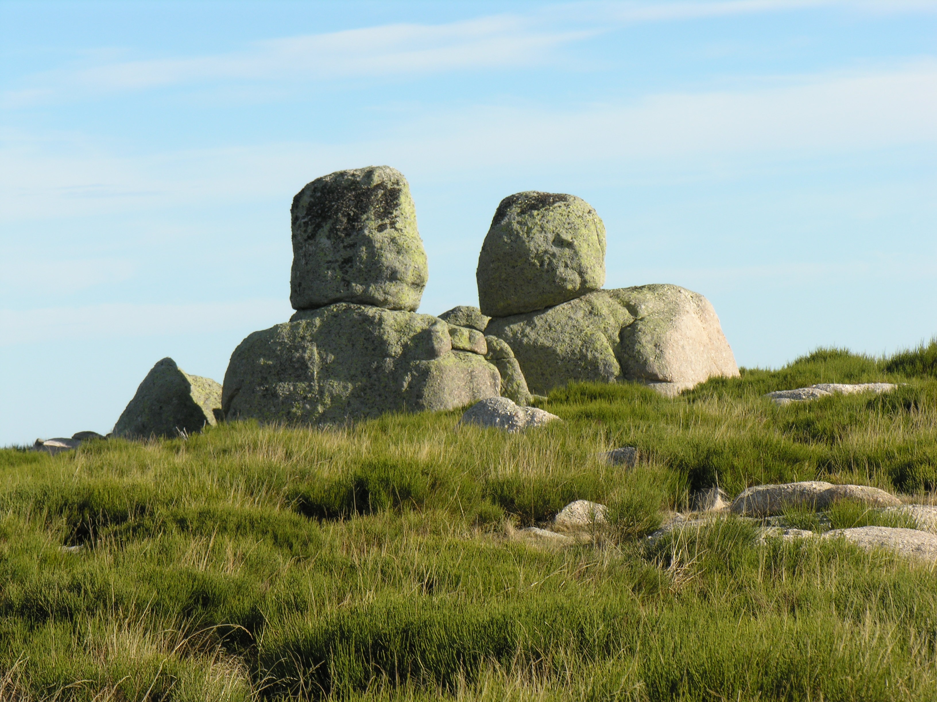
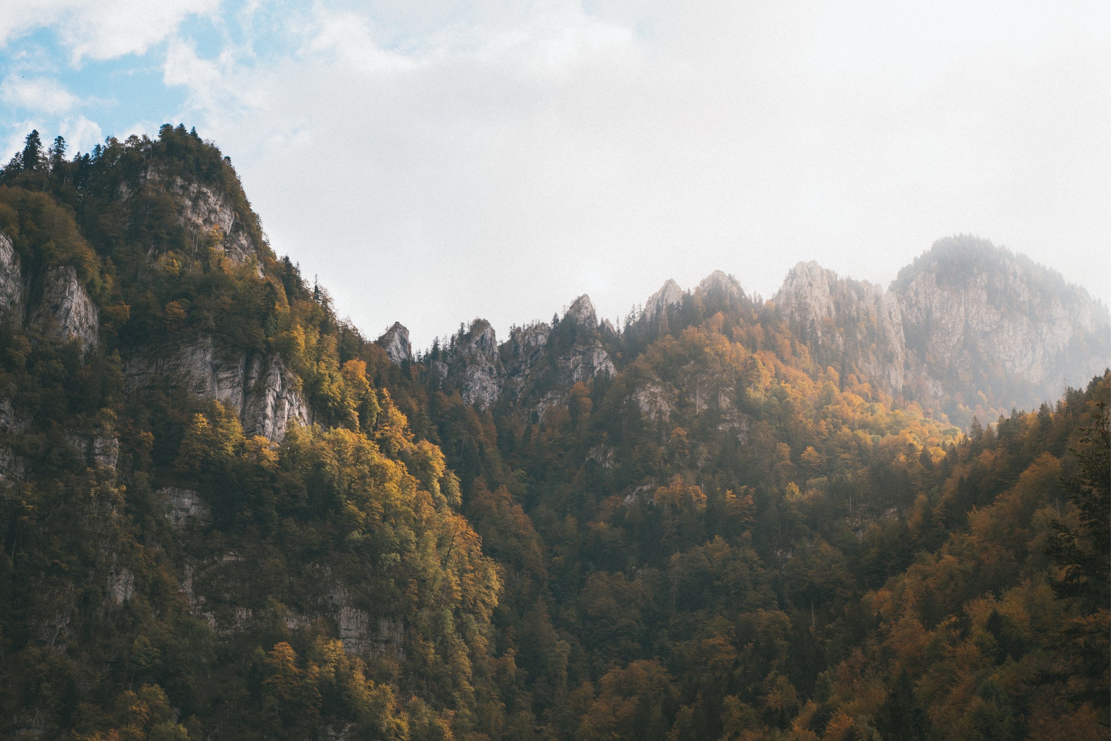
This 75 kilometer long trail embraces the coastline of the largest island in Brittany and presents a variety of extraordinary landscapes. Frankly steep and rarely sandy, the coast offers a series of cliffs, valleys, and rocks scattered in the Atlantic Ocean. On the land side, a few colorful hamlets punctuate a landscape essentially composed of moorland with heather and gorse.
In short, the GR340 constitutes a formidable concentrate of Brittany.
🥾 In a nutshell
⏱ Duration: 4 days
📏 Length: 75 km
⛰ Elevation gain: 1,700 meters
💪 Difficulty: medium
🌤 Season: doable all year round, but best from April to October
🙋 Who is the GR340 for?
The tour of Belle-Île is aimed at regular hikers, who are used to walking about fifteen kilometers, with an elevation gain of around 300 meters.
However, the third stage stands out, with its 22 kilometers long and 800 meters of elevation gain. It is therefore best to practice in advance, in order to assess whether you can perform this stage.
Finally, please note that it is possible to walk the GR340 in more than 4 days. The stages are then no longer set to end in villages, but a bus network makes it possible to reach them.
🚆 Getting there
The trail starts at the Palais, which is the largest town on the island and is connected to the mainland by ferry. There are connections all year round from Quiberon, and from April to October from Vannes, Port Navalo, Le Croisic and La Turballe.
The towns of Vannes and Le Croisic are served by the TGV all year round, while Quiberon is linked to Auray by TER during the high season, and by coach the rest of the time.
🛌 Sleep and eat
This tour of the island was divided into 4 days in order to spend the 3 nights in the following villages or hamlets: Sauzon, Port Goulphar and Locmaria. Each of them includes several hotels, lodgings and restaurants, which makes it possible to do this trek with a light bag.
Campsites are present at the Sauzon and Locmaria stages. On the other hand, Port Goulphar does not have any, which would lead to extending this stage to Bangor.
Although some blogs indicate that the bivouac is tolerated out of season, it is strictly prohibited and not recommended by the tourist office.
🎒 Equipment
Like any trek, the GR340 requires a minimum of preparation. To manage it like a pro, please consult our dedicated guide: What to bring on a trek.
🥾 Day 1: from the Palais to Sauzon
This first stage of the tour of Belle-Île begins at the Palais, the largest town on the island which is connected to the mainland by ferry. The stage being short, it is possible to take the time to visit the city, or to arrive in the morning.
The GR340 runs along the Vauban citadel and the Pointe de Taillefer, then numerous coves: Port Fouquet, Port Jean, Port Quinénec. After passing the Pointe de Kerzo, the path arrives at Sauzon, a charming village with colorful houses and a pretty port.
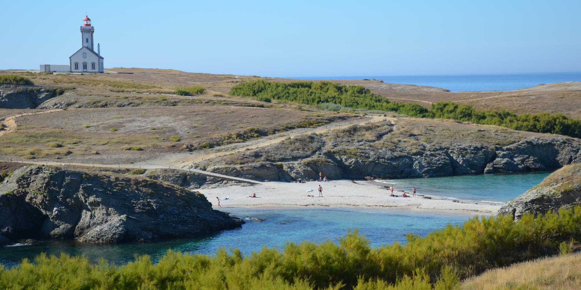
🥾 Day 2: from Sauzon to Port Goulphar
This second stage is the longest of the tour of Belle-Île, with a few hundred meters more than the third stage. But the variety and beauty of the landscapes will certainly give you wings!
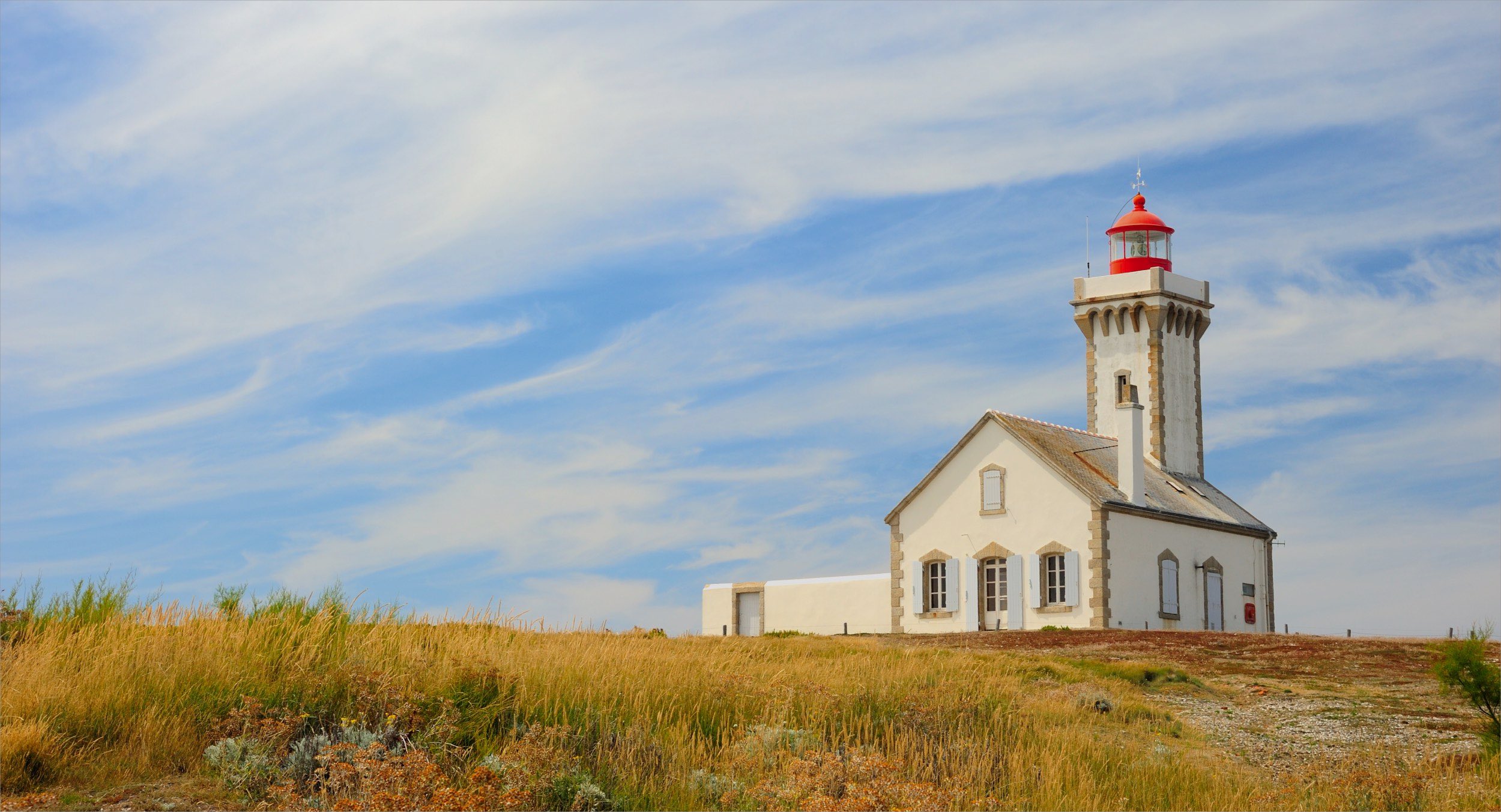
The trail begins by heading towards Pointe des Poulains, a true jewel of the island where the Atlantic Ocean meets the calm waters of Quiberon Bay. After passing Fort Sarah Bernhardt, the path continues at the top of the cliffs on a wild side, heading due south. Then you will arrive at the needles of Port-Coton, rocks standing in the sea which were celebrated by Claude Monet.
Finally, the stage ends in Port Goulphar for a well-deserved rest.
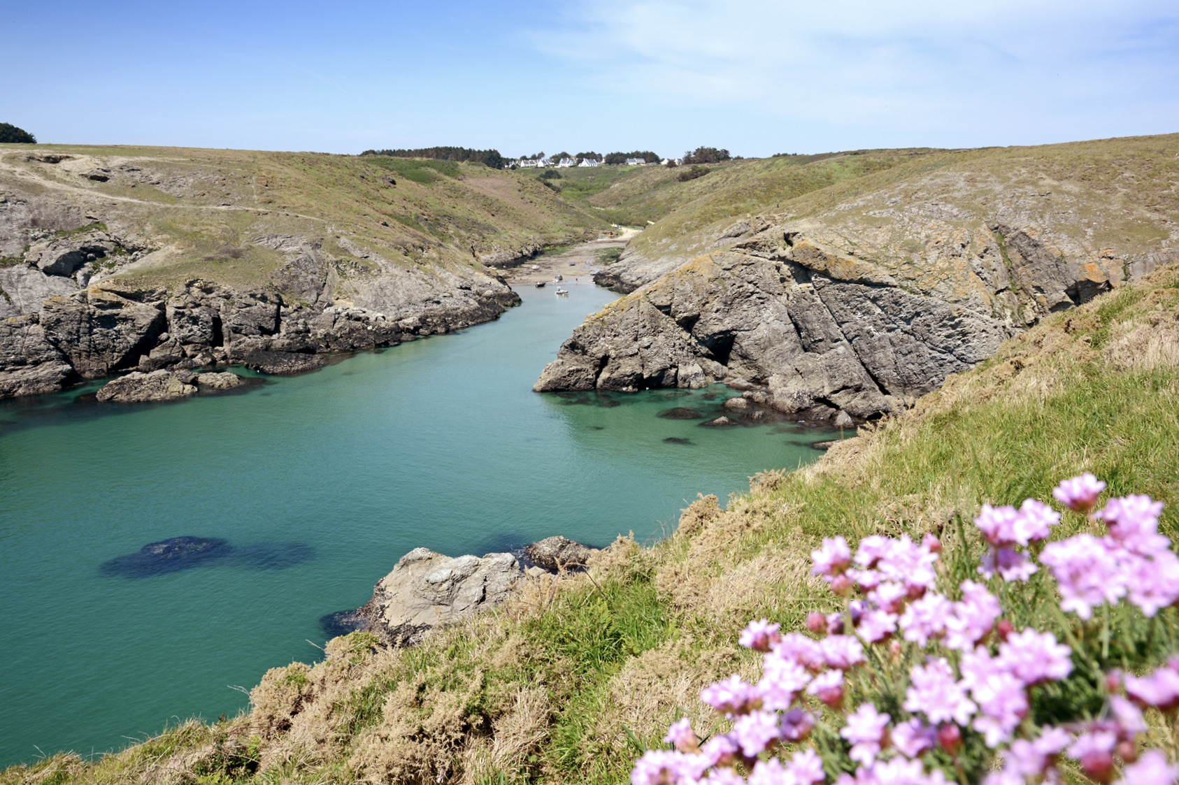
🥾 Day 3: from Port Goulphar to Locmaria
This third stage of the GR340 is slightly shorter than the previous one, but it is also much more uneven, which makes it the most difficult stage of the tour of Belle-Île.
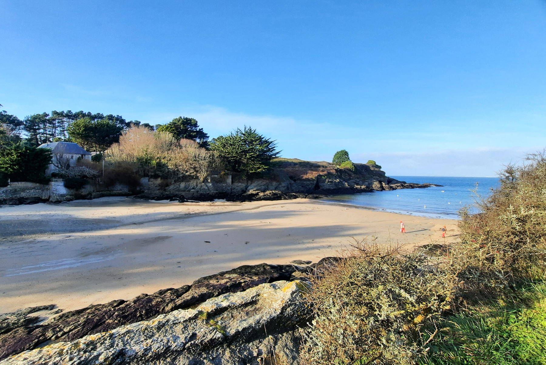
The path leaves Port Goulphar towards the tip of Talut and its semaphore, then runs along the tip of Bornor and the island of Bangor. Then there are several small coves where swimming is possible on sunny days. Finally, the path runs along new peaks, those of Pouldon and Skeul being the most notable, before arriving at Locmaria.
🥾 Day 4: from Locmaria to the Palais
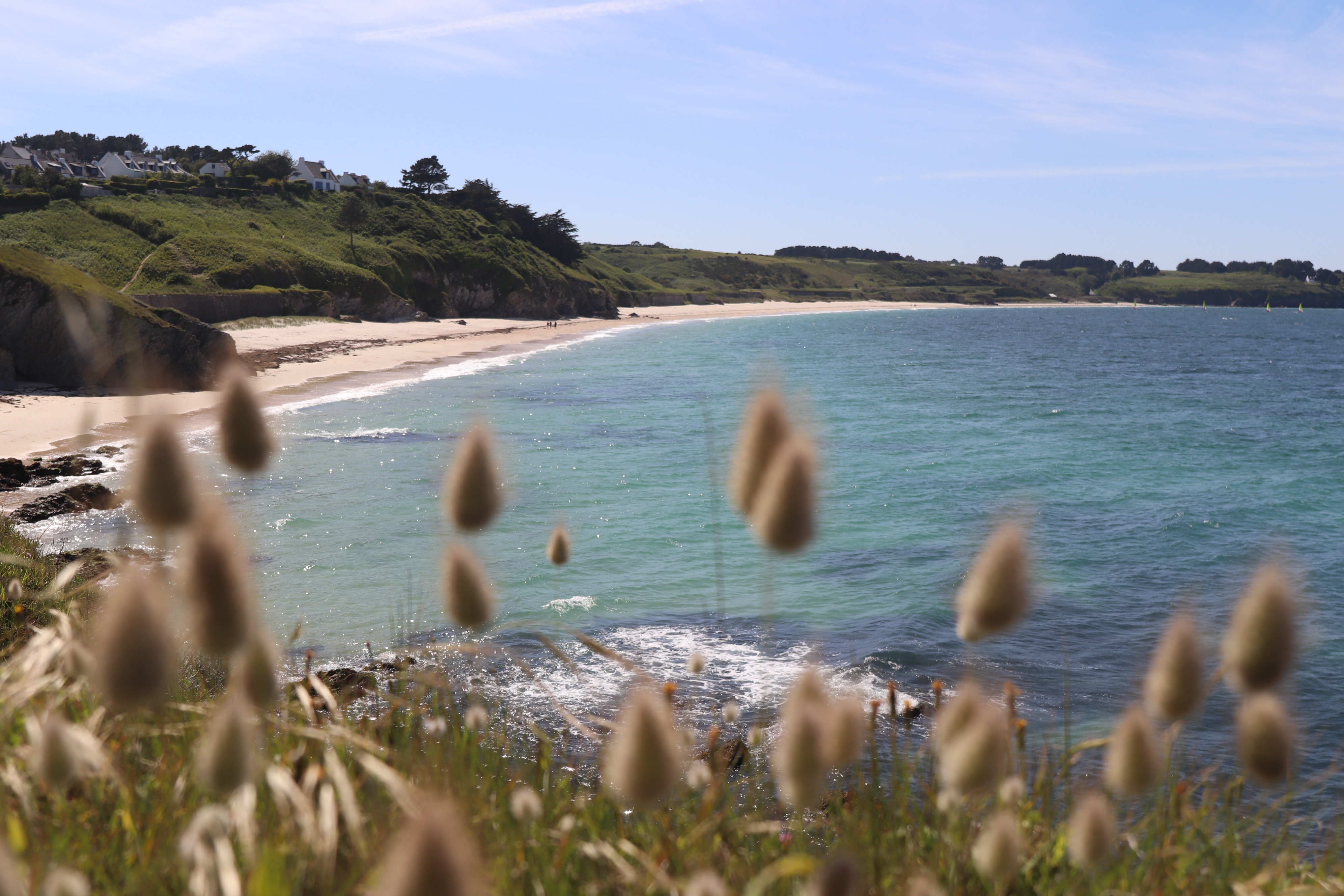
Here is the last stage of the tour of Belle-Île, and it is undeniably simpler than those of the previous days.
The path begins by following a steep coast to the tip of Kerdonis, before the cliffs give way to the largest beaches on the island: Grands Sables, Gros Rocher, and Bordardoué.
Once past the points of Bugul, Gros Rocher, then Ramonette, the GR340 comes to an end when you arrive in the alleys of the Palace. Congratulations, you have completed the tour of the island!
Share your experience of the tour of Belle-Île on social networks at @hikaguide!
Hika lists the best nature trails, on web and mobile apps!
More treks
The legendary GR20 in Corsica
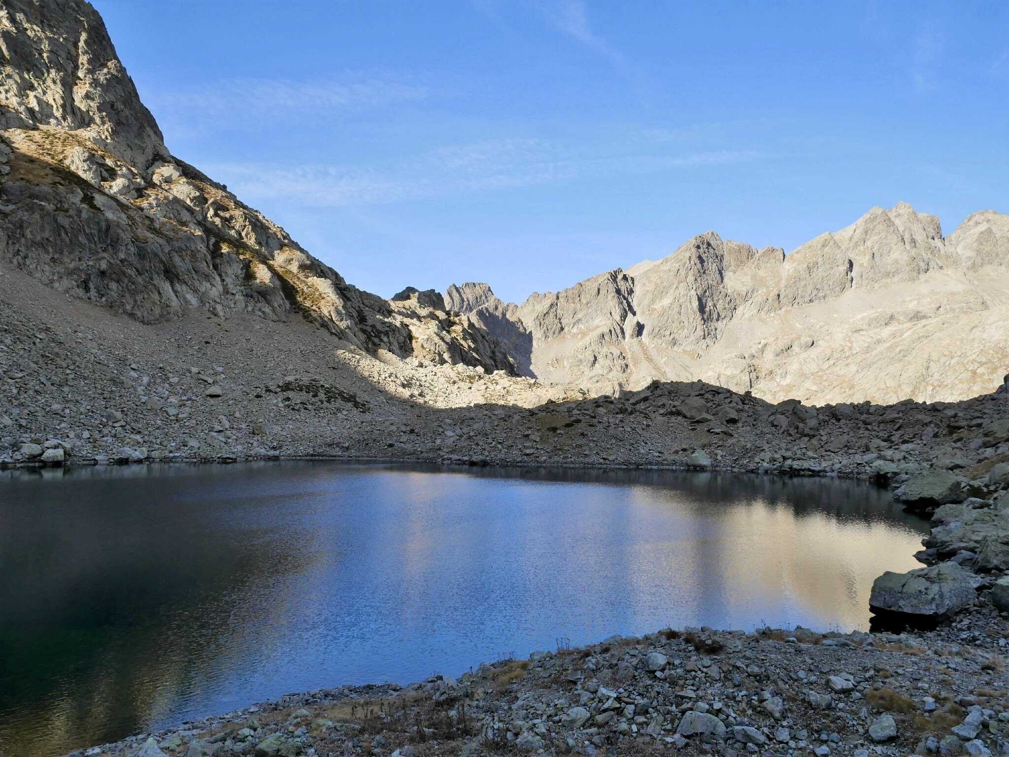
Mercantour
In the forest of Fontainebleau
Grand Ballon d'Alsace
Sancy
Traverse of the Chartreuse