Uphill
195m
Length
7km
Duration
2h30min
Elev gain
195m
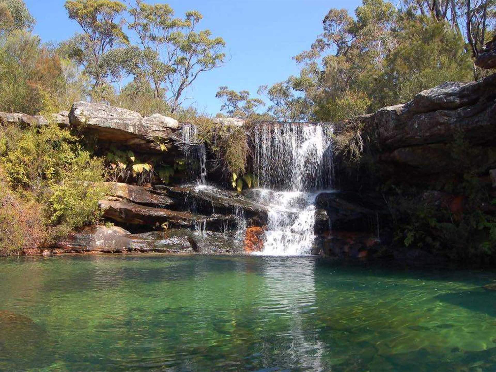
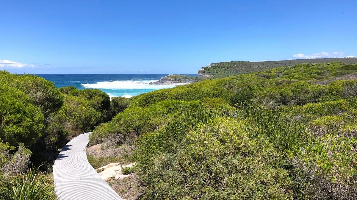
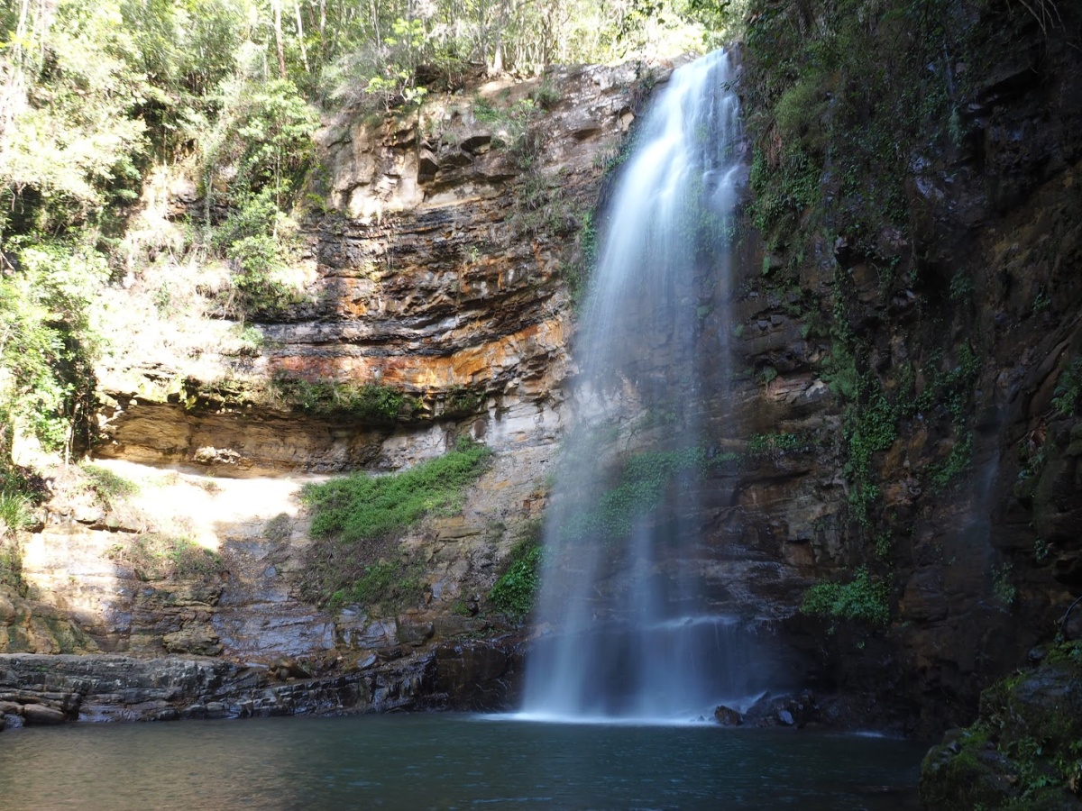
This is a wonderful there-and-back hike under the lush rainforest canopy to the Clover Falls in the Macquarie Pass National Park. The trail is fairly moderate as it follows an old logging road to the Rainbow Falls, which are this hike’s piece de resistance. The trail also passes smaller waterfalls such as the Mulangong Falls, Clover Falls, and Macquarie Falls. The natural beauty and vibrancy of the place creates a serene and revitalising atmosphere throughout the walk.

Already more than 200,000 users!
Uphill
195m
Highest point
375m
Downhill
195m
Lowest point
282m
Route type
There and back
Download the map on your smartphone to save battery and rest assured to always keep access to the route, even without signal.
Includes IGN France and Swisstopo.
I indicate whether dogs are allowed or prohibited on this trail
All year
0 ratings
Also enjoy:

Already more than 200,000 users!