Uphill
779m
Length
24km
Duration
8h
Elev gain
779m
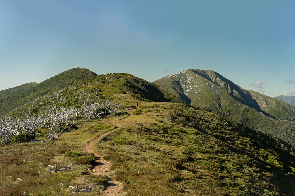
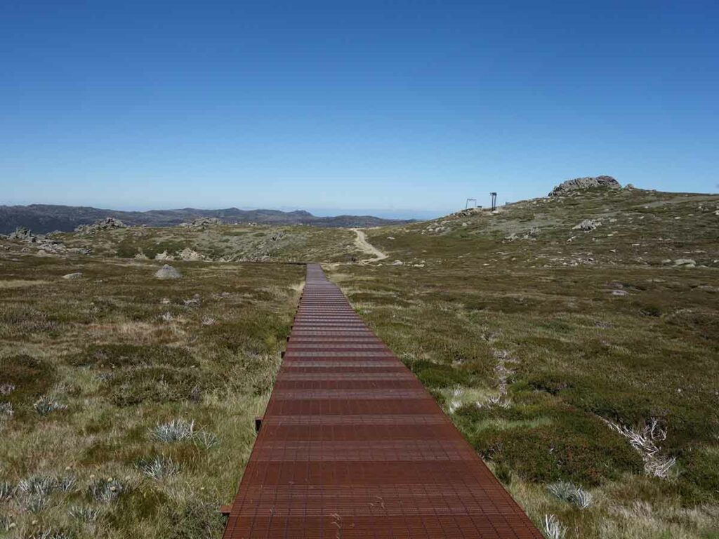
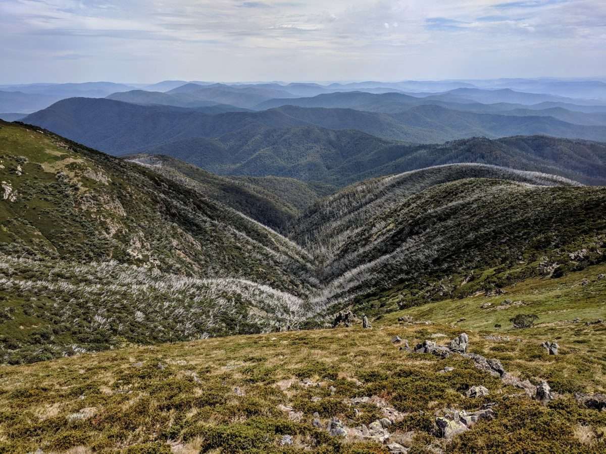
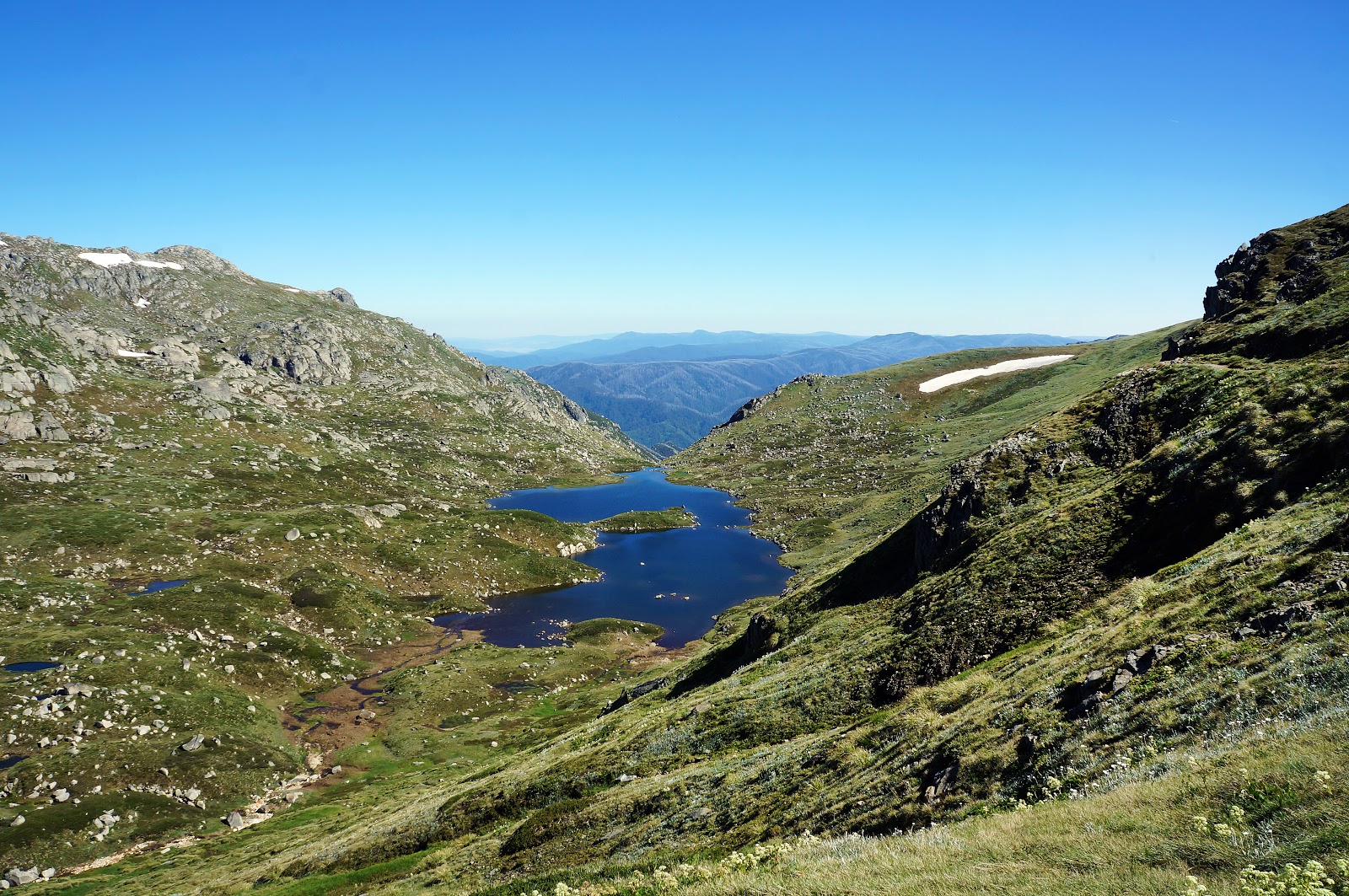
This is an amazing alpine loop in the Kosciuszko National Park around the mountain range and to the top of Mount Kosciuszko, the highest peak in Australia at 2,228m. The trail mixes walkway, rocky trail, small river or stream crossing. The last section is a bit steeper. It also offers breath-taking views on the lakes and the mountains around. The vegetation is very beautiful in bloom and the landscape can be a little snowy in winter, which is also a wonderful sight to see.

Already more than 200,000 users!
Uphill
779m
Highest point
2221m
Downhill
779m
Lowest point
1715m
Route type
Loop
Download the map on your smartphone to save battery and rest assured to always keep access to the route, even without signal.
Includes IGN France and Swisstopo.
I indicate whether dogs are allowed or prohibited on this trail
All year
0 ratings
Also enjoy:

Already more than 200,000 users!