Uphill
782m
Length
23km
Duration
8h
Elev gain
782m
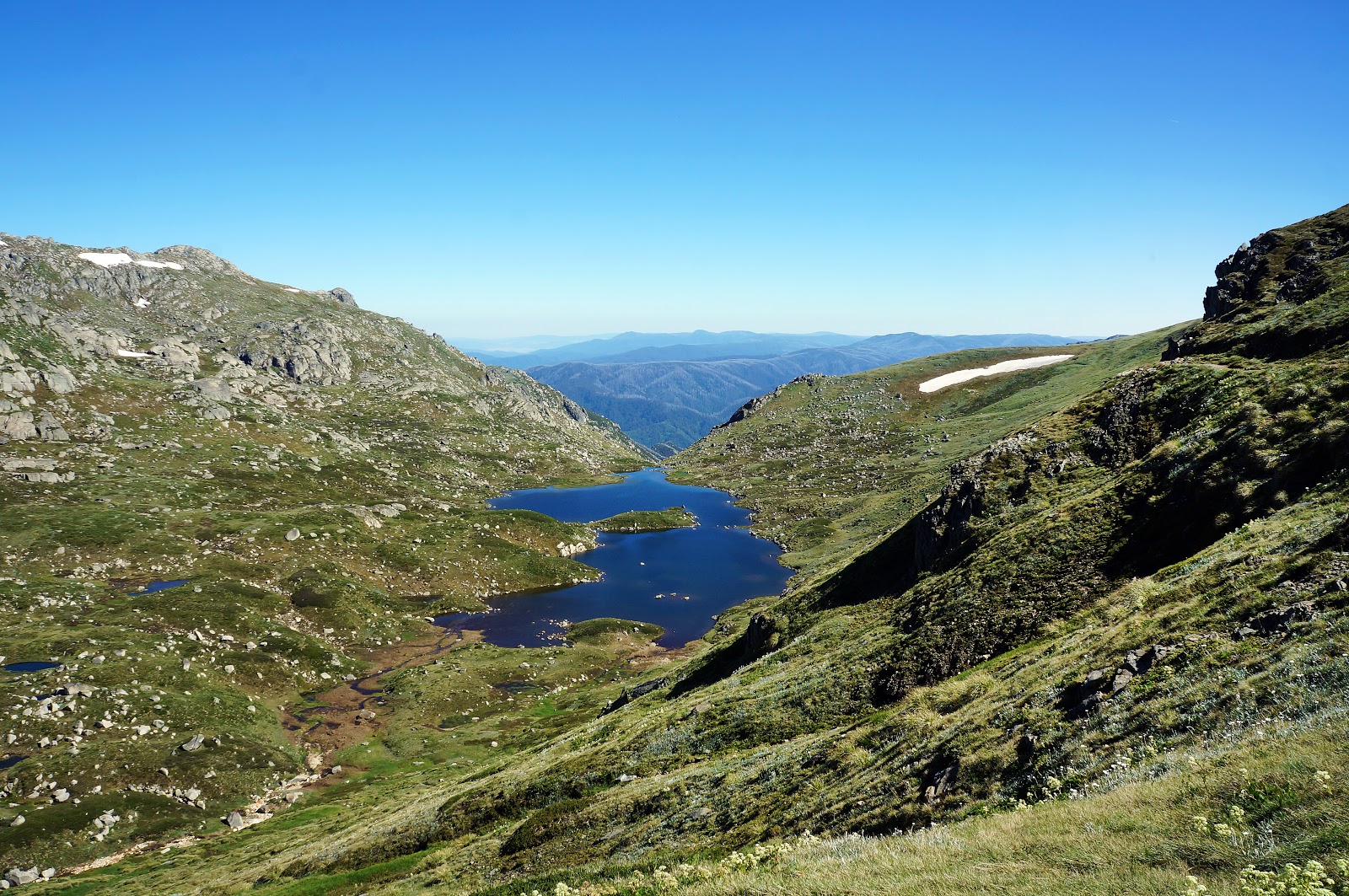
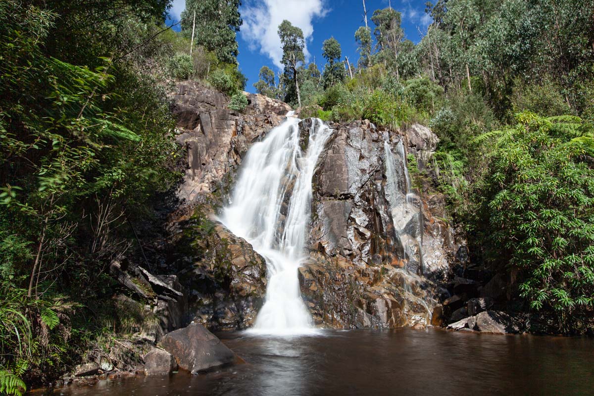
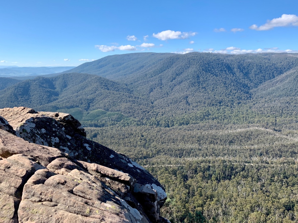
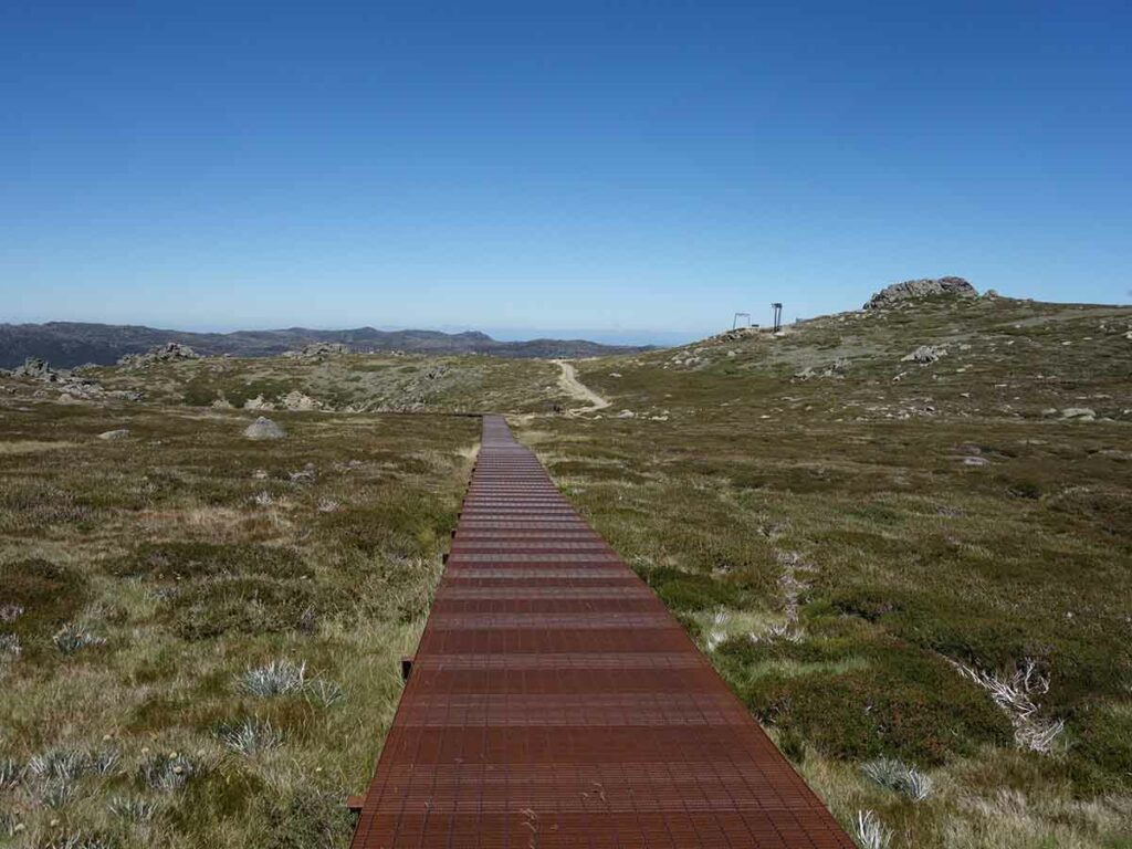
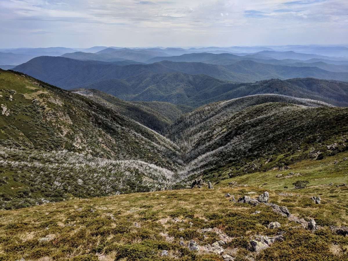
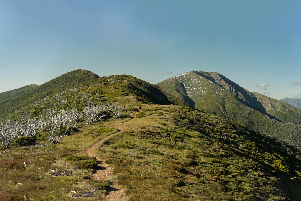
This is a challenging there-and-back hike to Mount Feathertop, Victoria’s second highest peak (1,922 m) via the Razorback Ridge Trail in the Alpine National Park. The trail, which is mostly exposed, has an important elevation gain but with a progressive slope. The trail offers amazing views on the mountains around and has a very rich and ever changing vegetation (changes occur around every 100 m of elevation). It’s very popular to watch the sunrise or sunset from the higher points as they often are incredible!

Already more than 200,000 users!
Uphill
782m
Highest point
1898m
Downhill
782m
Lowest point
1585m
Route type
There and back
Download the map on your smartphone to save battery and rest assured to always keep access to the route, even without signal.
Includes IGN France and Swisstopo.
Car park on the side of the Great Alpine Road opposite Eric Johnson Gravbröt Monument.
I indicate whether dogs are allowed or prohibited on this trail
All year
0 ratings
Also enjoy:

Already more than 200,000 users!