Uphill
1441m
Length
20km
Duration
10h
Elev gain
1441m
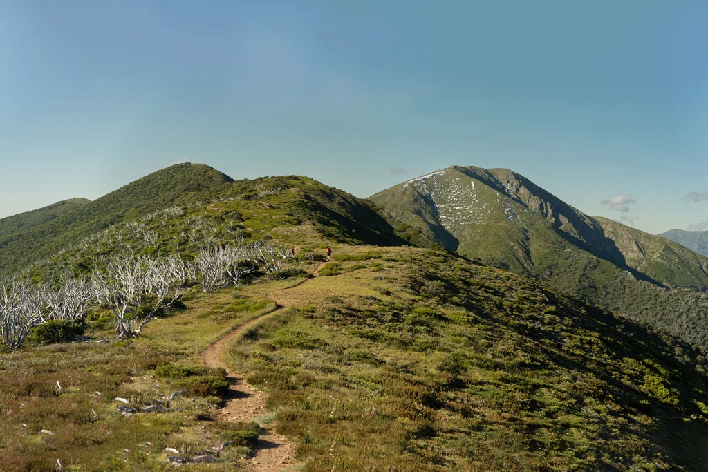
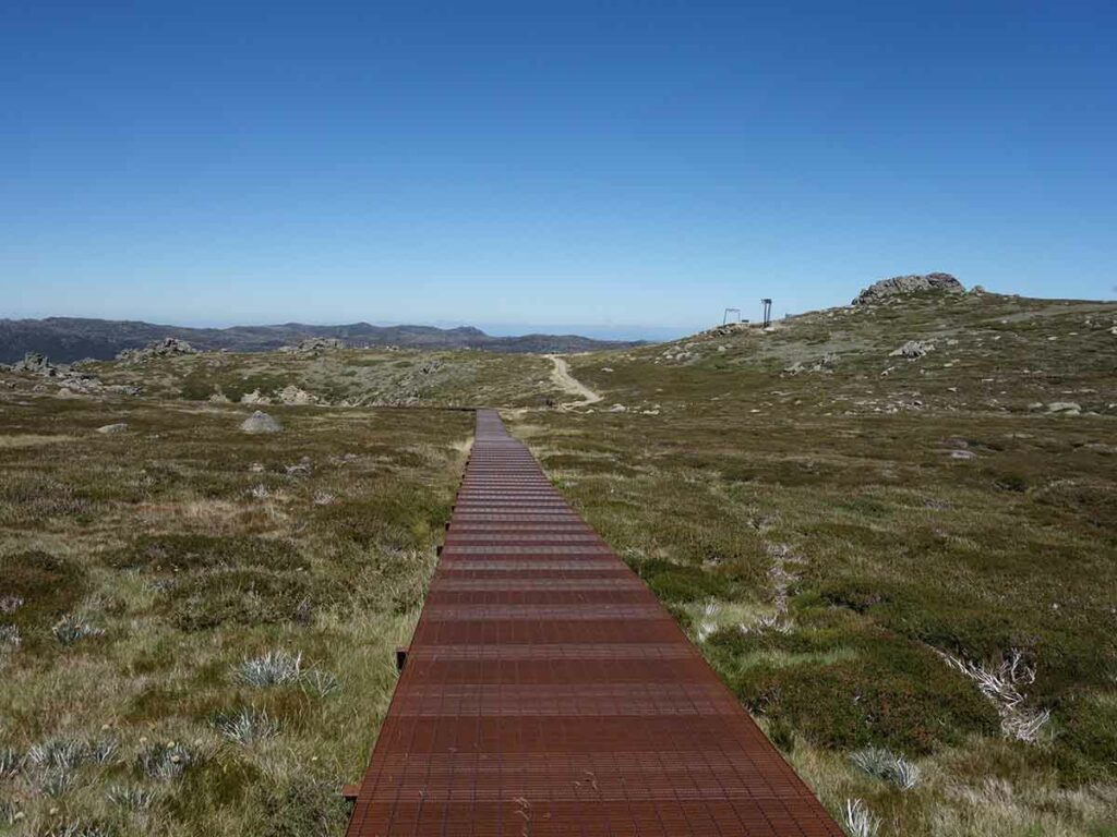
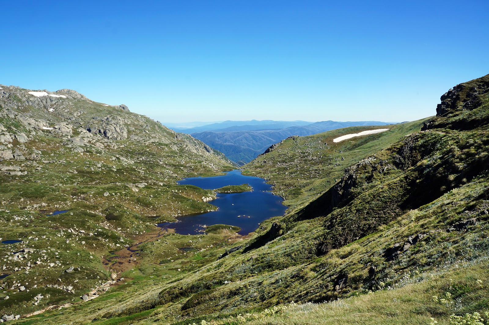
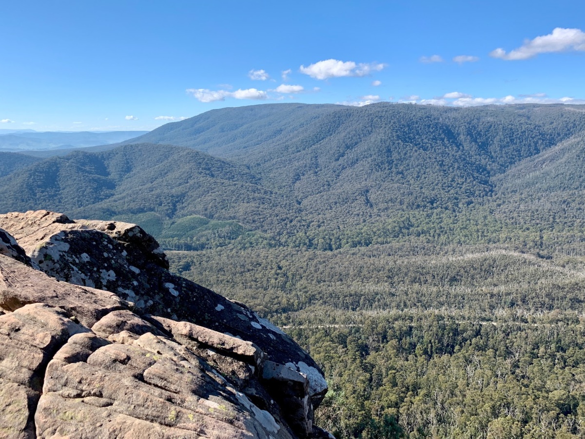
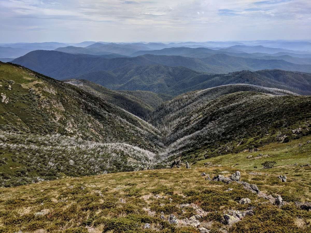
This is a long and challenging loop to the summit of Mount Bogong at 1,986m following the Staircase and Eskdale Spur tracks in the Alpine National Park, Victoria. The route is challenging but easy to follow. There are options to camp on the way at Bivouac Hut and Mitchell Hut to split the hike over two days.
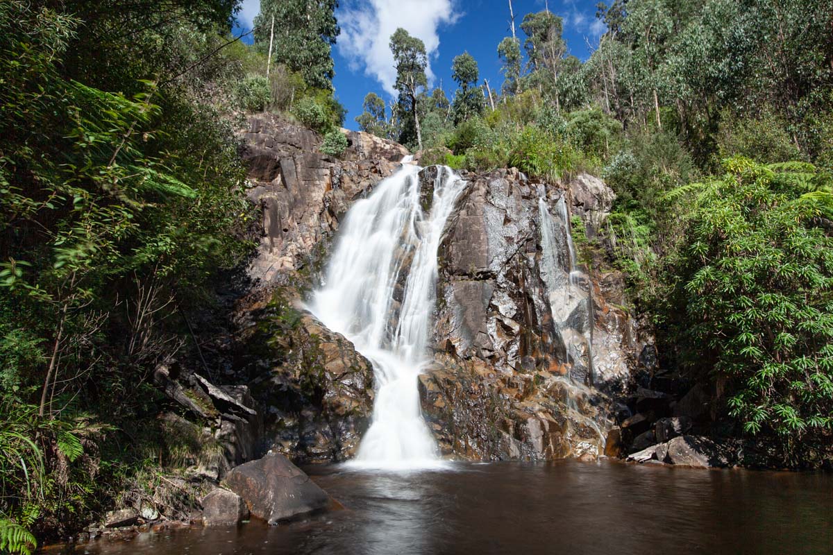
The scenery is breathtaking with expansive views over the surrounding mountains and an abundance of higher altitude vegetation. This is definitely a walk that will test hikers physical abilities and endurance.

Already more than 200,000 users!
Uphill
1441m
Highest point
1983m
Downhill
1441m
Lowest point
584m
Route type
Loop
Download the map on your smartphone to save battery and rest assured to always keep access to the route, even without signal.
Includes IGN France and Swisstopo.
I indicate whether dogs are allowed or prohibited on this trail
All year
0 ratings
Also enjoy:

Already more than 200,000 users!