Uphill
1205m
Length
13km
Duration
8h
Elev gain
1205m
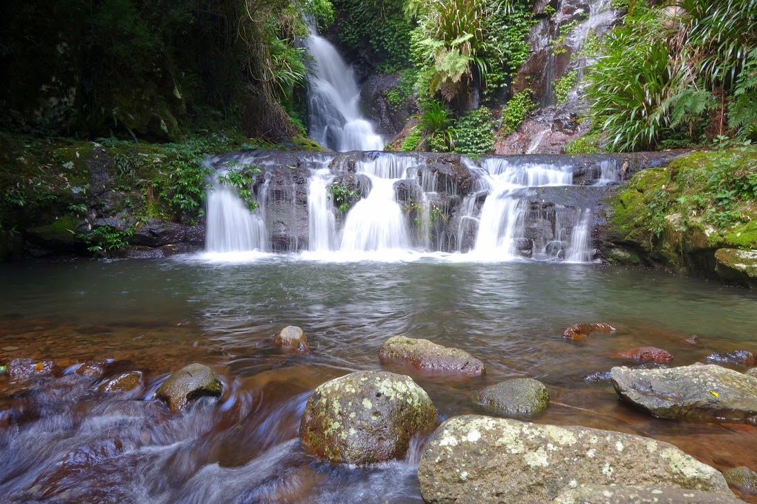
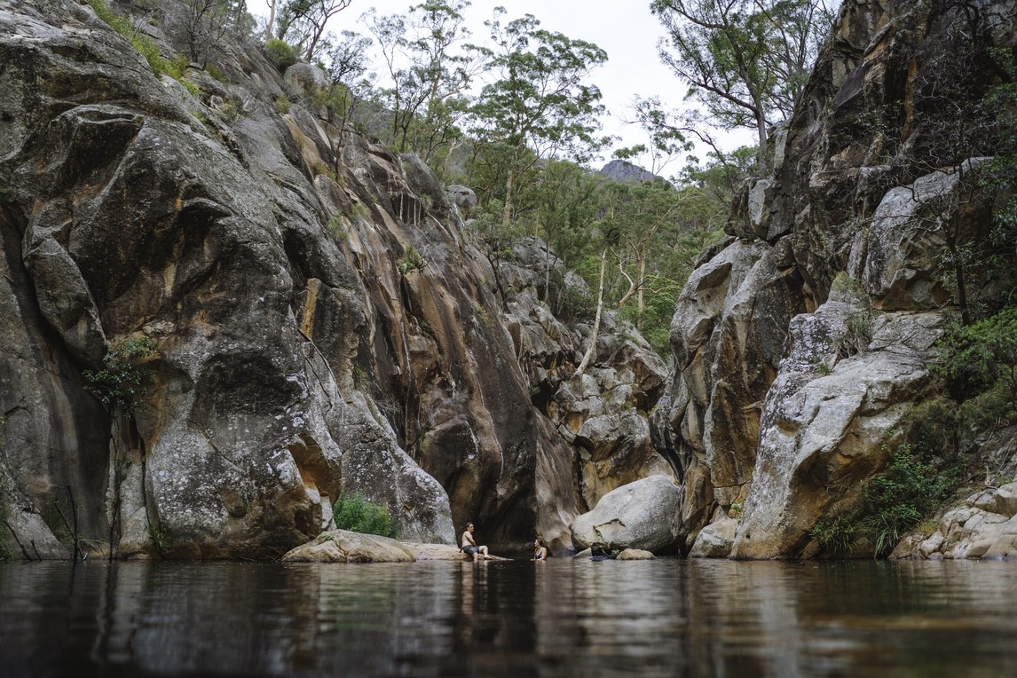
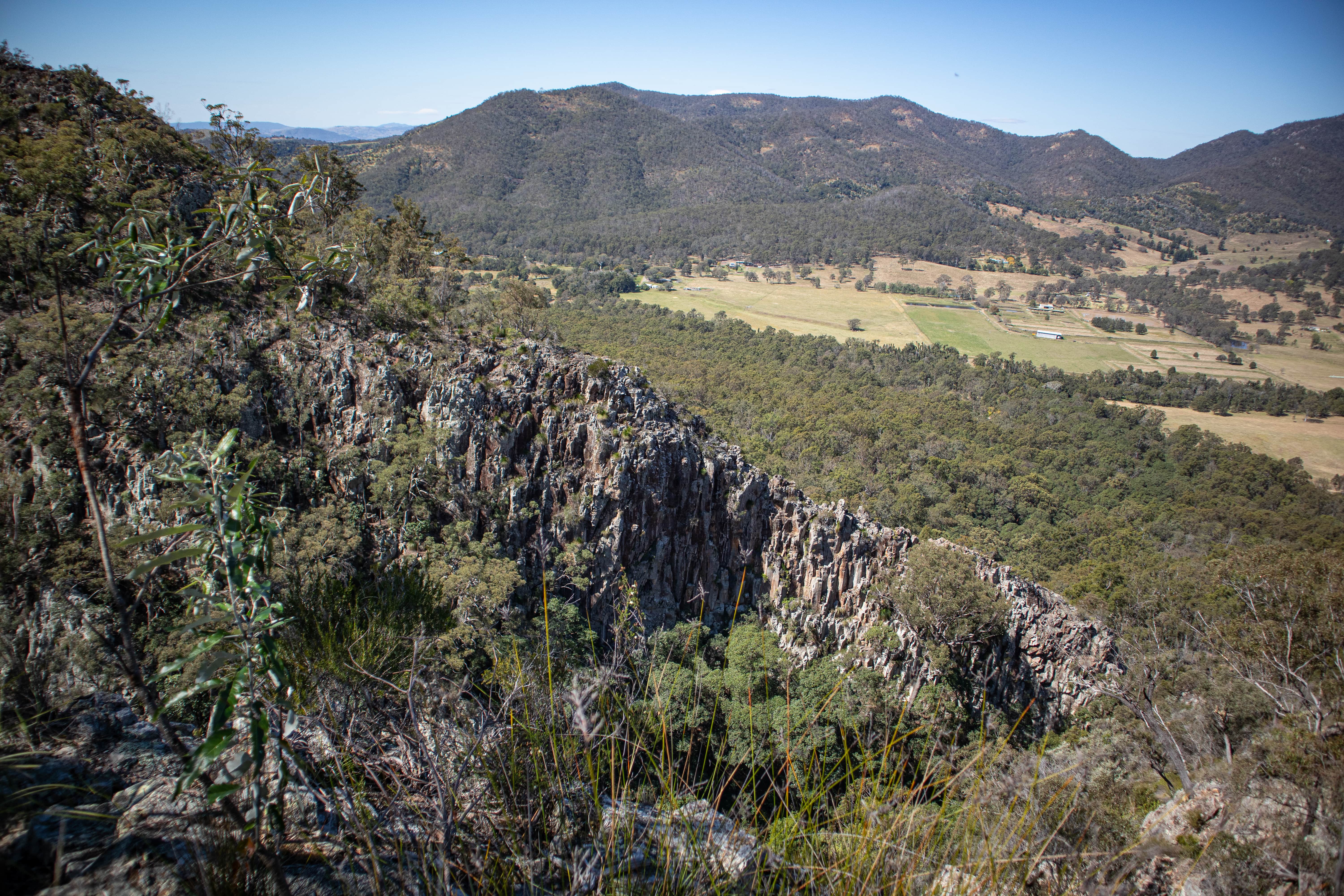
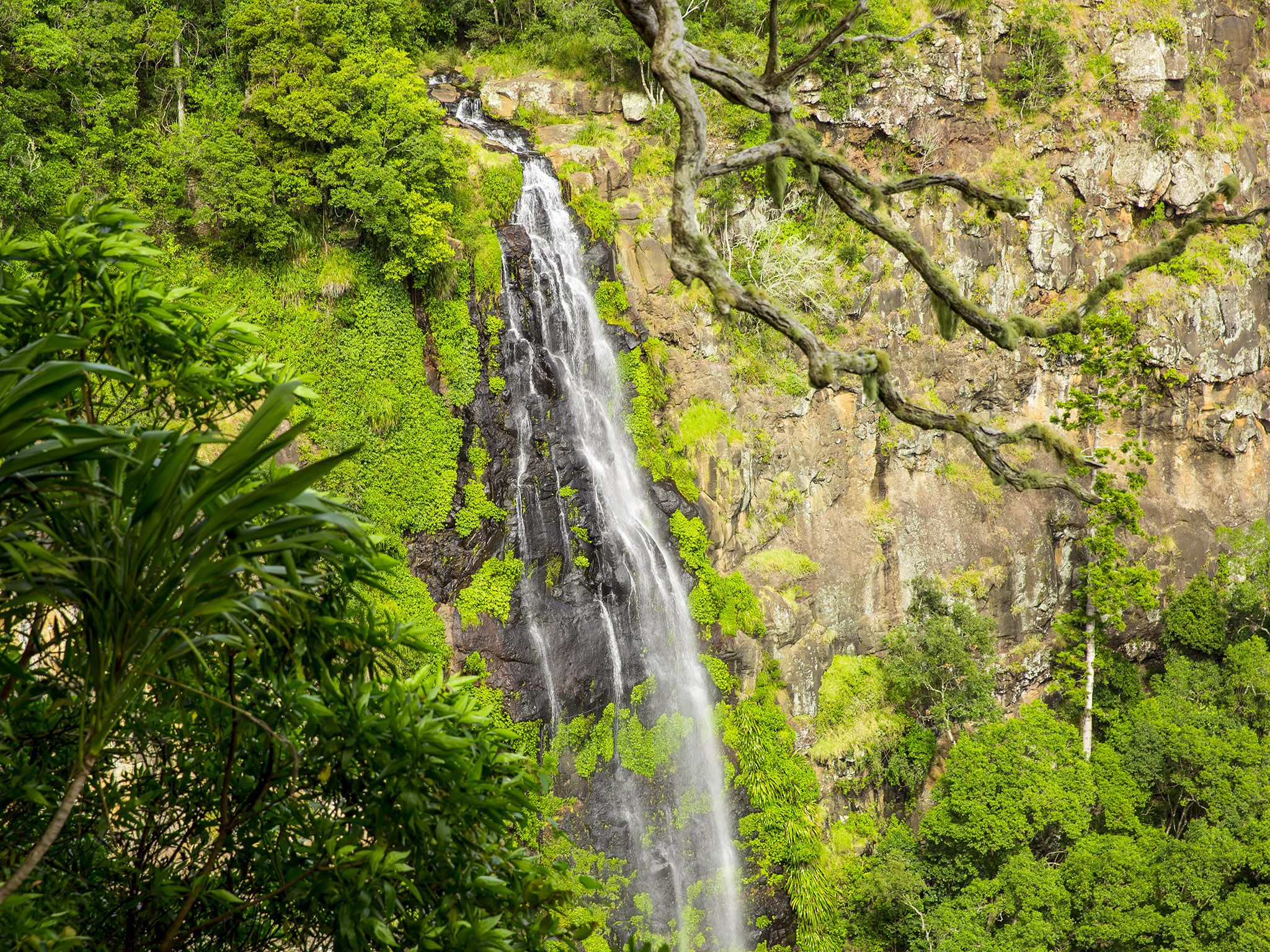
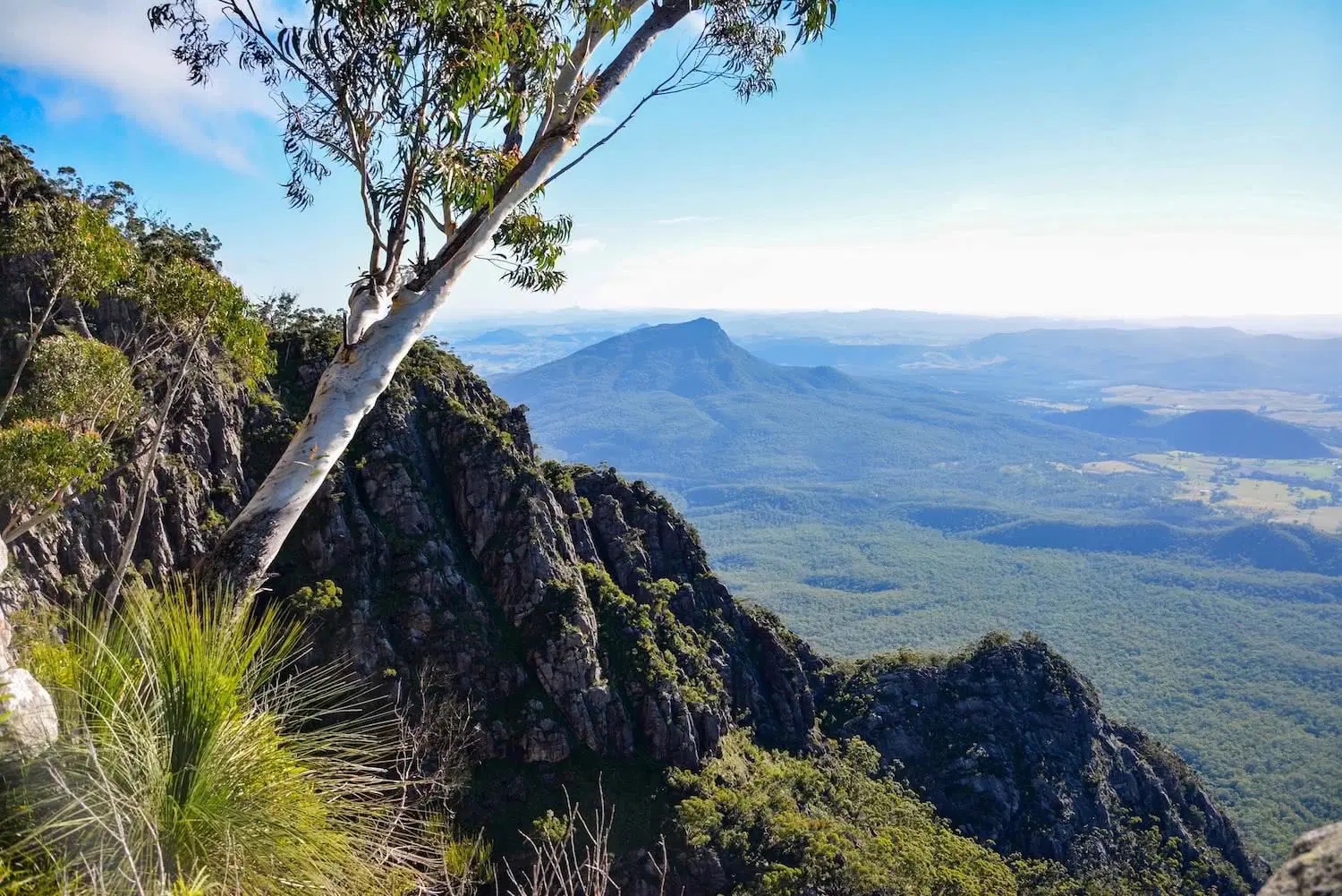
This is a challenging loop to the top of the South East Ridge and Mount Barney, in Mount Barney National Park, Queensland. The trail is steep, follows a few cliff edges and will require hikers to scramble. It’s good to come prepared with food, water and all the essentials. The views on the way and at the top are well worth the effort, as the landscapes open on the surrounding ranges. The flora is vibrant everywhere one looks and there are a couple water features on the way.

Already more than 200,000 users!
Uphill
1205m
Highest point
1332m
Downhill
1205m
Lowest point
222m
Route type
Loop
Download the map on your smartphone to save battery and rest assured to always keep access to the route, even without signal.
Includes IGN France and Swisstopo.
I indicate whether dogs are allowed or prohibited on this trail
All year
0 ratings
Also enjoy:

Already more than 200,000 users!