Uphill
600m

Length
4km
Duration
3h30min
Elev gain
600m
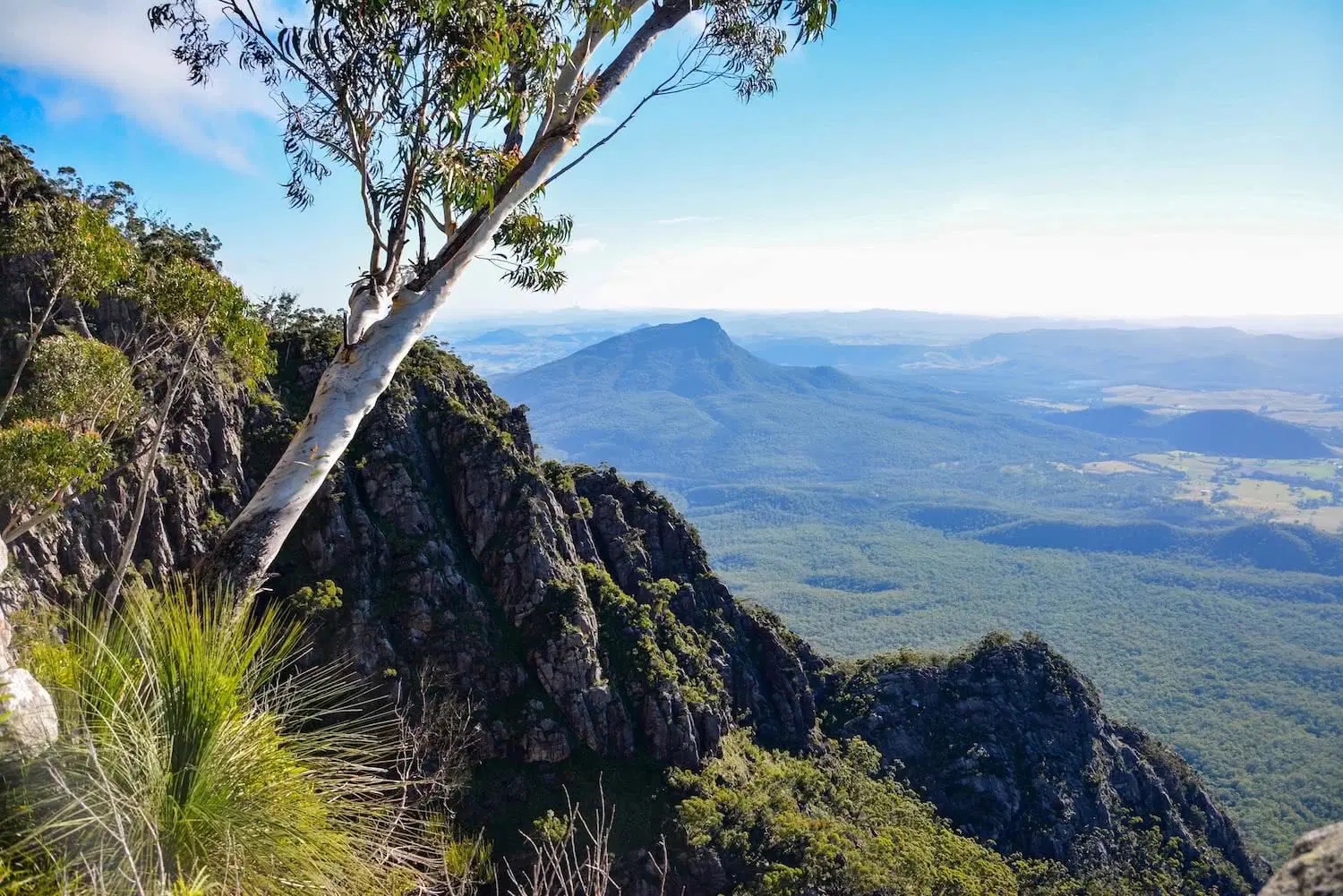
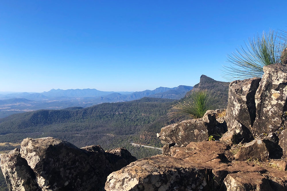
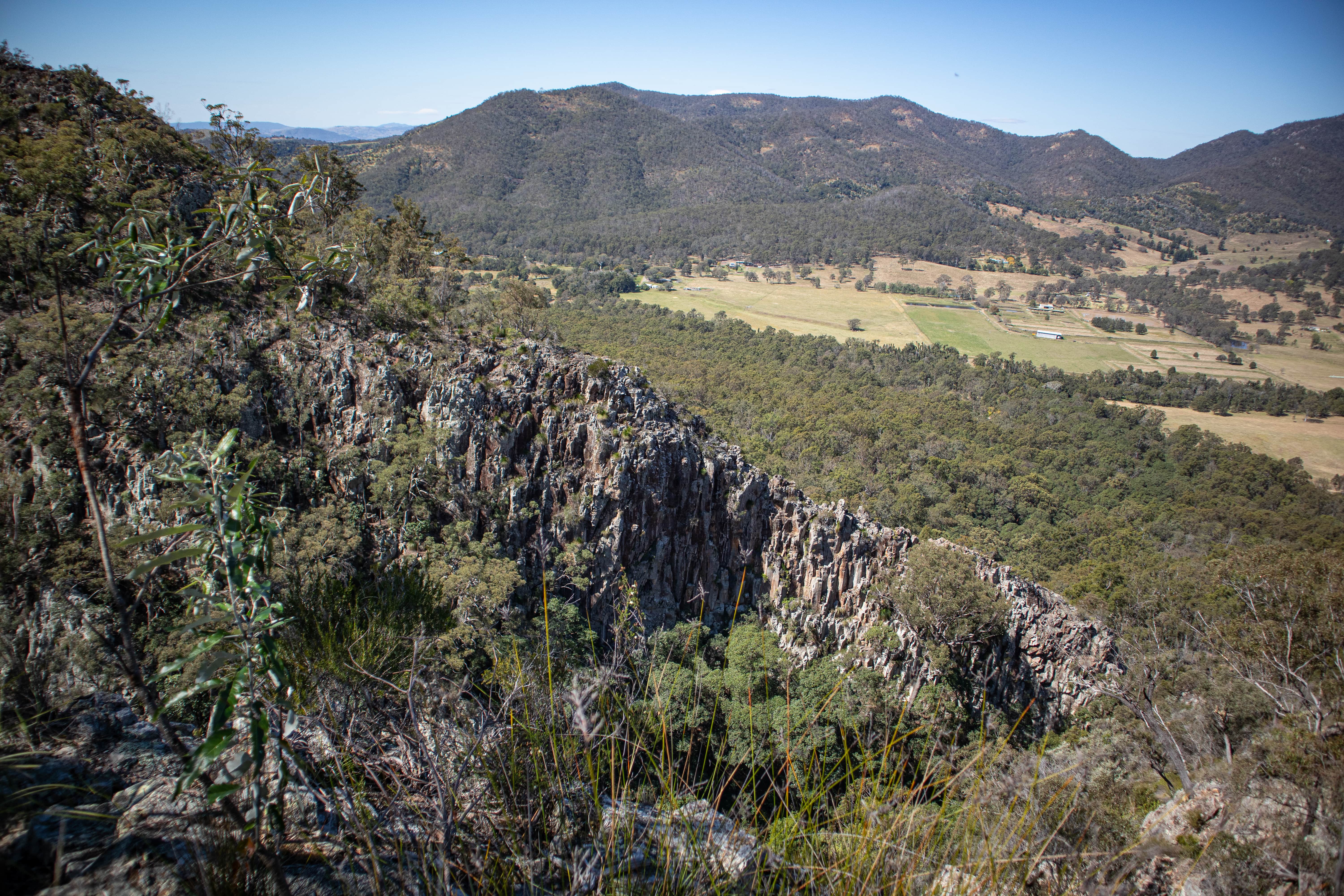
Discover this short but challenging hike leading to the summit of Mount Marroon in Mount Barney National Park, Queensland. The trail begins amongst the trees and then opens up on a more rocky path leading to the summit. There are wonderful views on the beautiful rock formations covered in vegetation as well as wide open landscapes with great visibility over the hills of Queensland. The sunrise is particularly beautiful from the top for the early risers!

Already more than 200,000 users!
Uphill
600m
Highest point
936m
Downhill
600m
Lowest point
356m
Route type
There and back
Download the map on your smartphone to save battery and rest assured to always keep access to the route, even without signal.
Includes IGN France and Swisstopo.
I indicate whether dogs are allowed or prohibited on this trail
All year
0 ratings
Also enjoy:

Already more than 200,000 users!