Uphill
388m

Length
7km
Duration
3h
Elev gain
388m
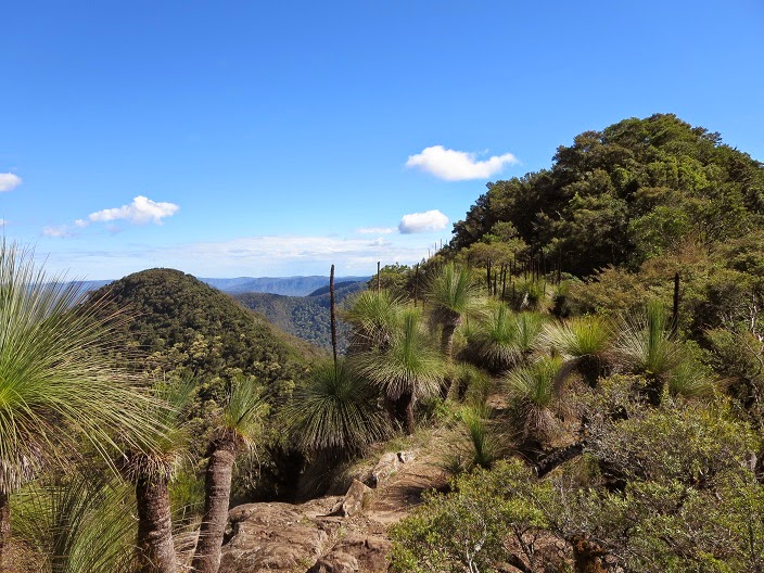
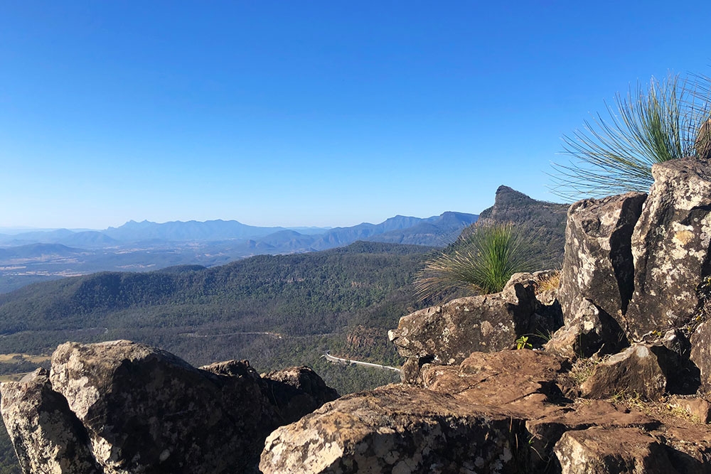
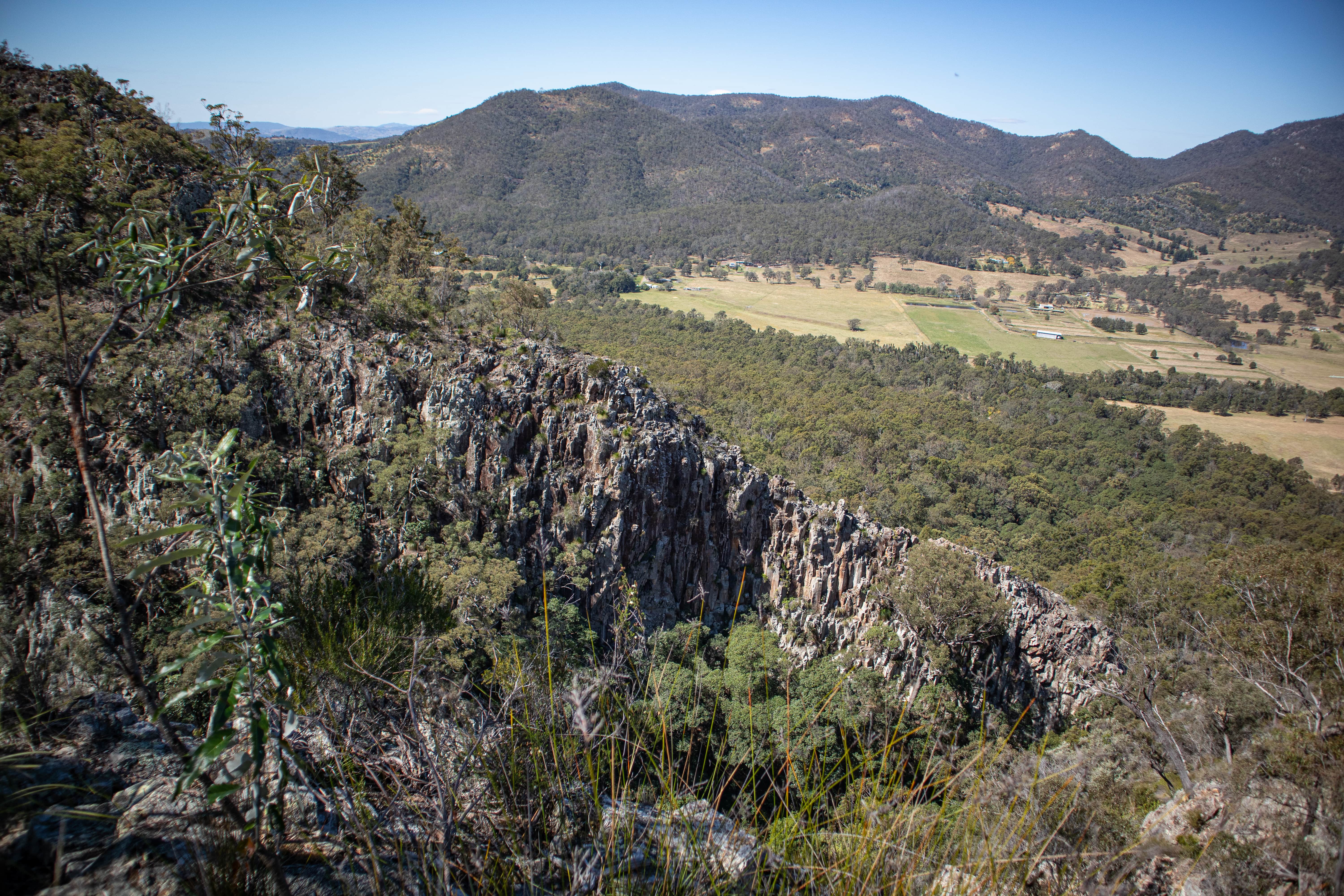
This is a great there-and-back hike to the top of Mount Cordeaux (1,135 m) in the Main Range National Park in Queensland. The track has a moderate incline going through the rainforest to then arrive at the summit with the most fantastic views on the Fassifern Valley, with lush mountains rising in the distance. The flora and fauna are beautiful and create a magical atmosphere on the way up!

Already more than 200,000 users!
Uphill
388m
Highest point
1057m
Downhill
388m
Lowest point
780m
Route type
There and back
Download the map on your smartphone to save battery and rest assured to always keep access to the route, even without signal.
Includes IGN France and Swisstopo.
I indicate whether dogs are allowed or prohibited on this trail
All year
0 ratings
Also enjoy:

Already more than 200,000 users!