Uphill
559m
Length
10km
Duration
4h30min
Elev gain
559m
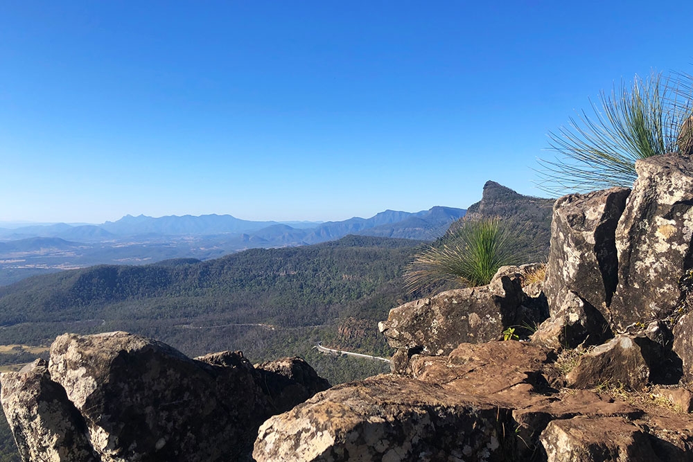
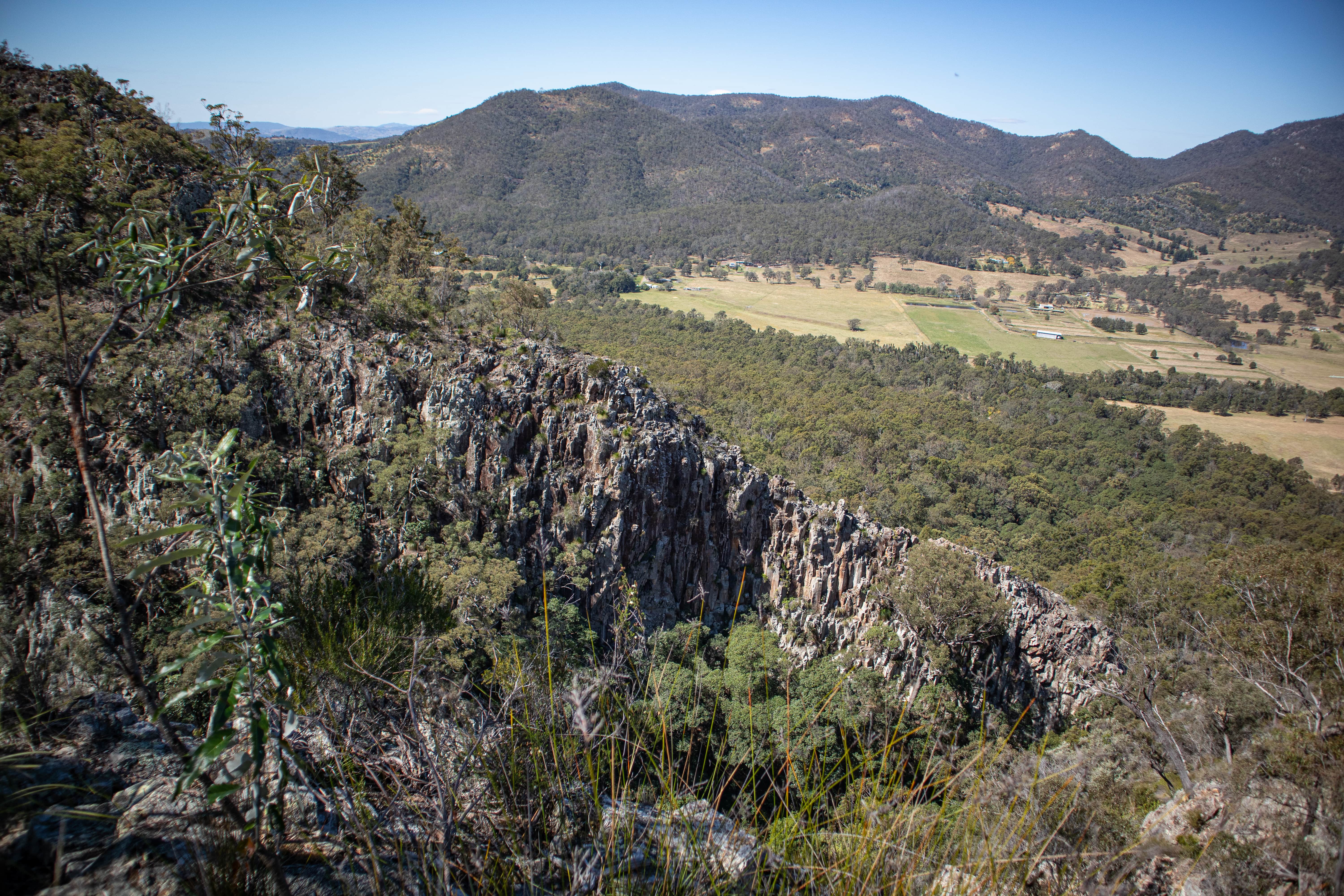
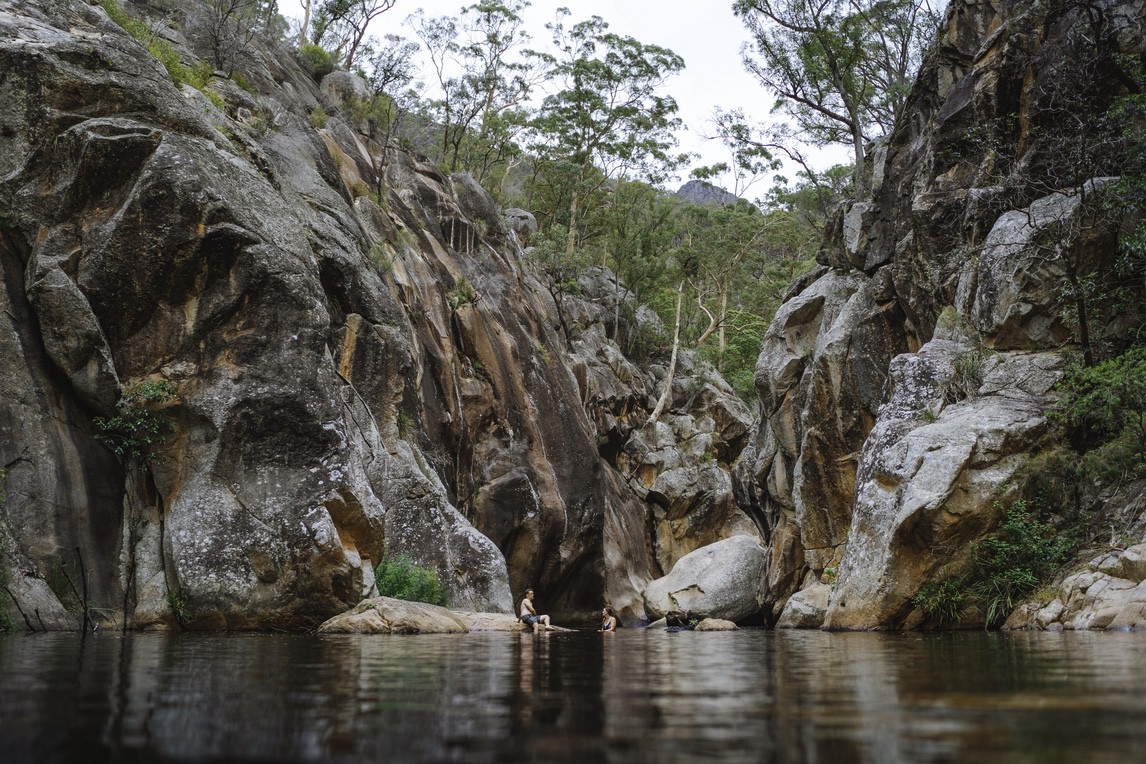
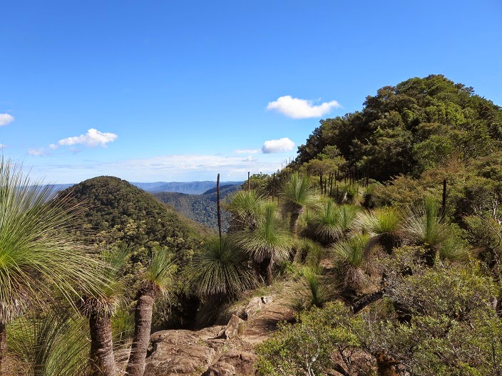
This is a beautiful there-and-back hike to summit Mt Mitchell in the Main Range National Park, Queensland. The trail can be steep and comes close to the cliffs. The views on the way are great, with a wide variety of plants and mushrooms present in the lower forest. The views at the top open on the vast landscape, the distant mountains and Rocky Creek below, and are simply wonderful.

Already more than 200,000 users!
Uphill
559m
Highest point
1120m
Downhill
559m
Lowest point
778m
Route type
There and back
Download the map on your smartphone to save battery and rest assured to always keep access to the route, even without signal.
Includes IGN France and Swisstopo.
I indicate whether dogs are allowed or prohibited on this trail
Can be difficult in Winter
0 ratings
Also enjoy:

Already more than 200,000 users!