Uphill
224m
Length
6km
Duration
2h
Elev gain
224m
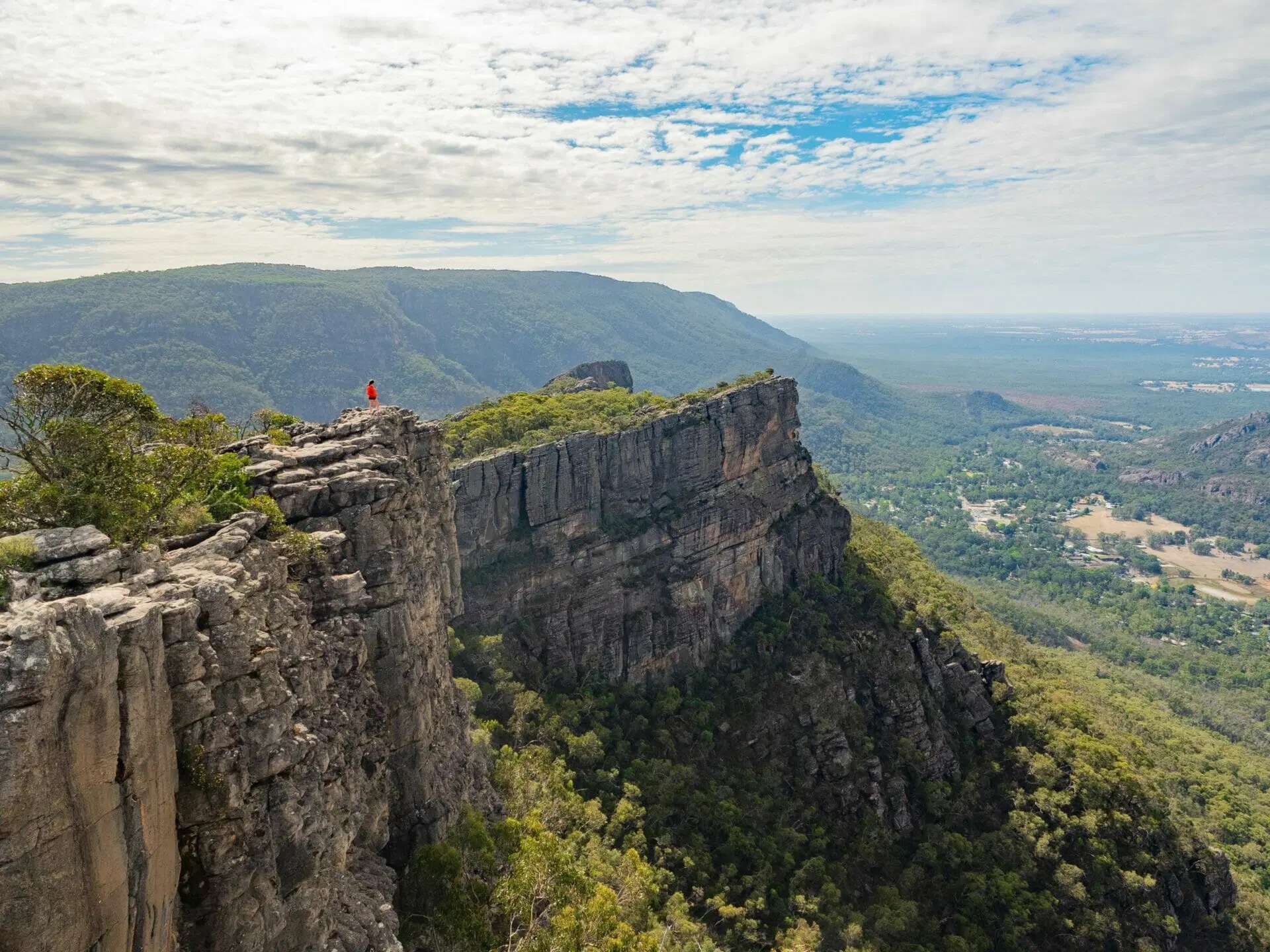
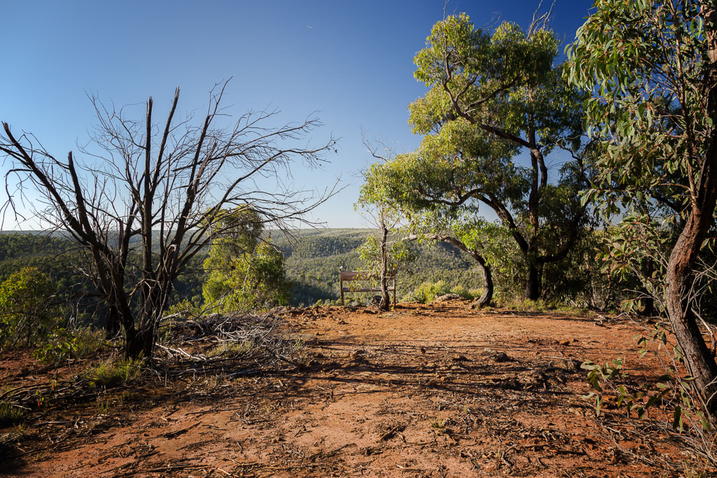
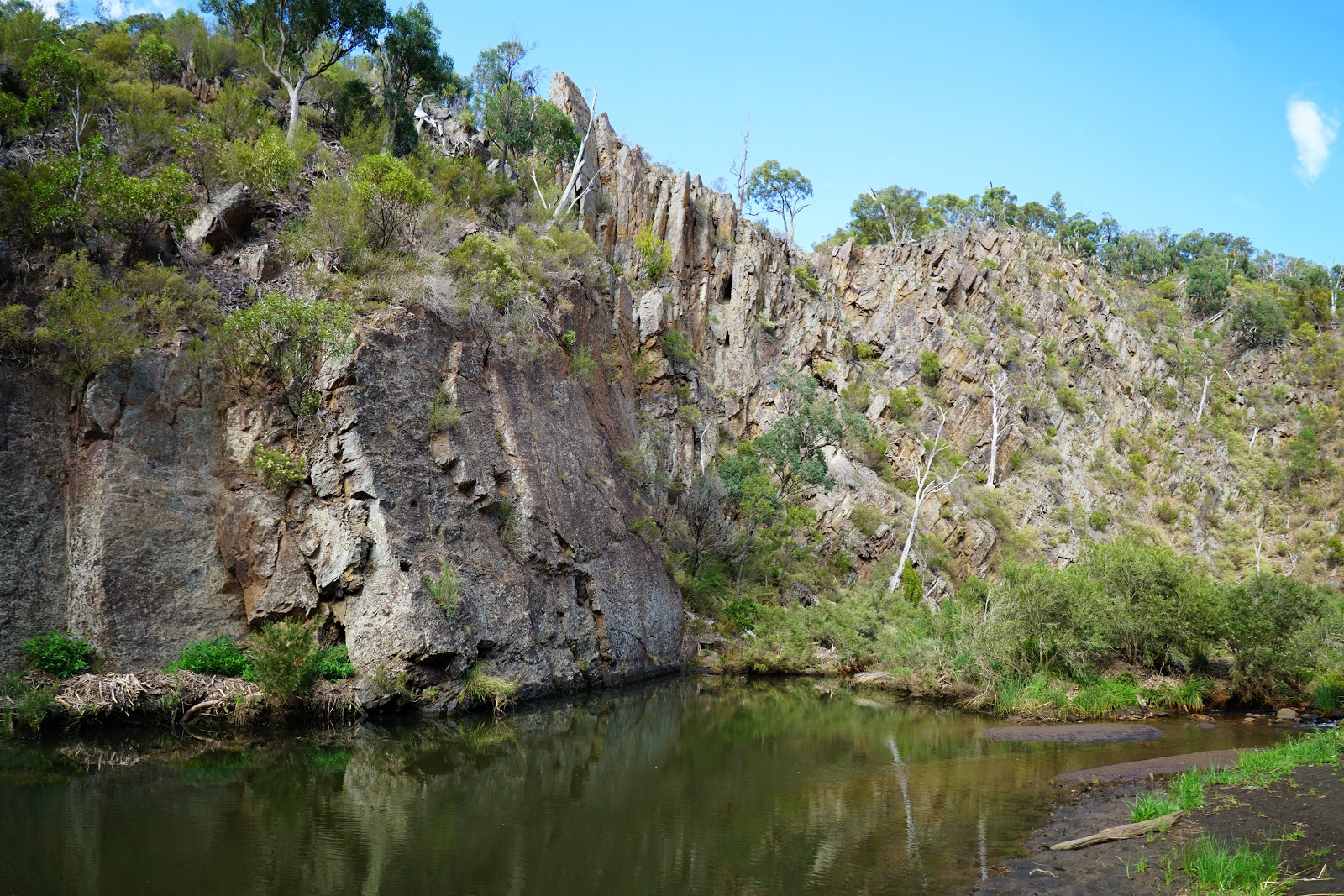
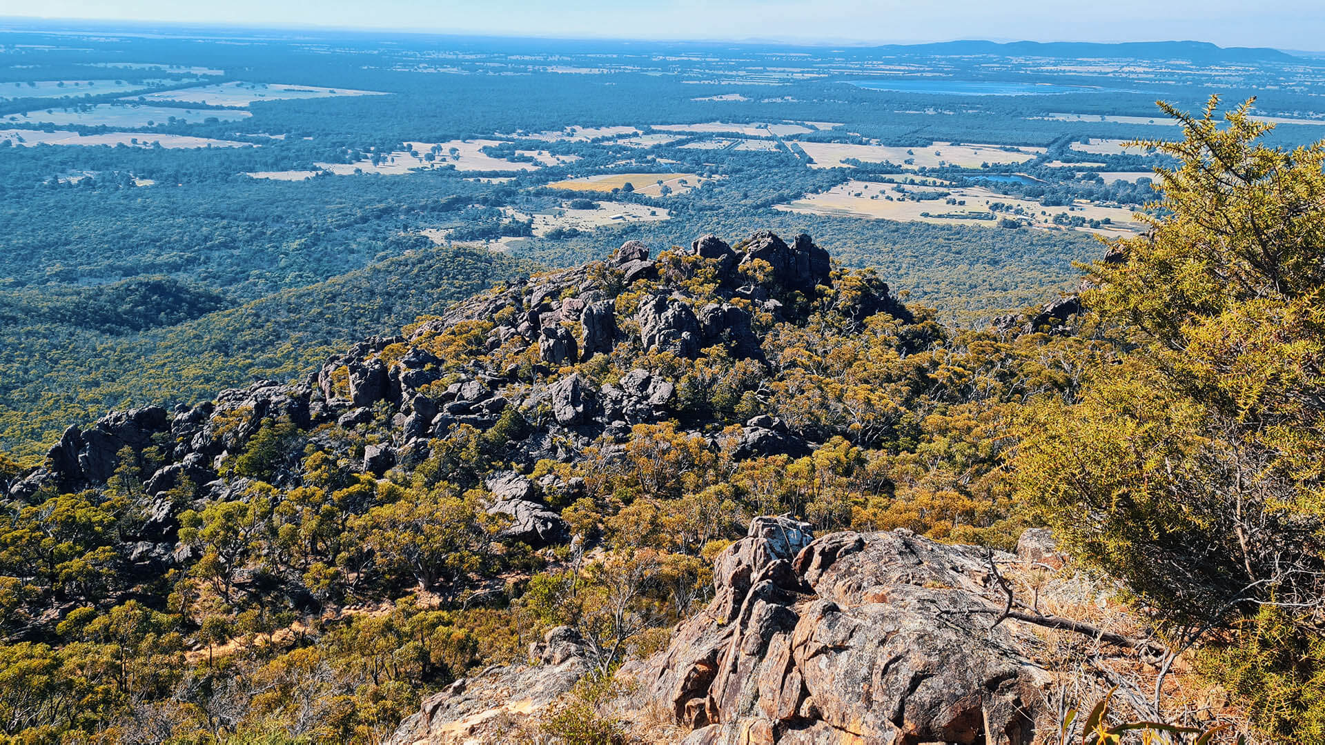
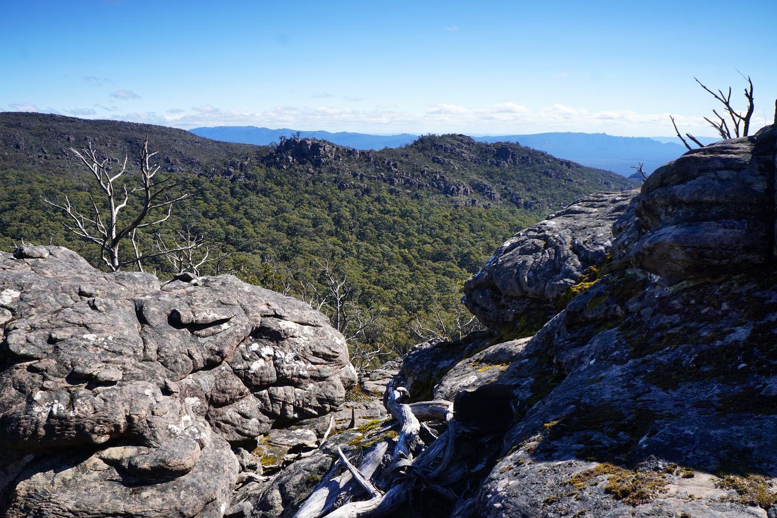
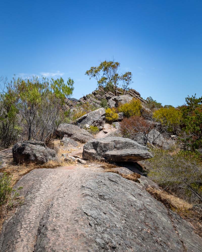
This is a great loop around Chatauqua Peak in the Grampians National Park on the edge of Halls Gap, Victoria. The trail is moderate on small trails with a gradual incline to the top. The vistas at the top are fantastic, ranging from Halls Gap to Lake Bellfield with the Wonderland Range and Serra Range on the sides. The flora and fauna are also vibrant and only add to the beauty of the scenery.

Already more than 200,000 users!
Uphill
224m
Highest point
395m
Downhill
224m
Lowest point
220m
Route type
Loop
Download the map on your smartphone to save battery and rest assured to always keep access to the route, even without signal.
Includes IGN France and Swisstopo.
I indicate whether dogs are allowed or prohibited on this trail
All year
0 ratings
Also enjoy:

Already more than 200,000 users!